

WHITEFIELD — A four-mile hiking trail that will be opened to the public for the first time Saturday is the result of almost a year of work by volunteers and what they hope is the start of the development of other public trails throughout the town.
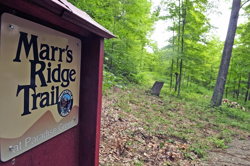
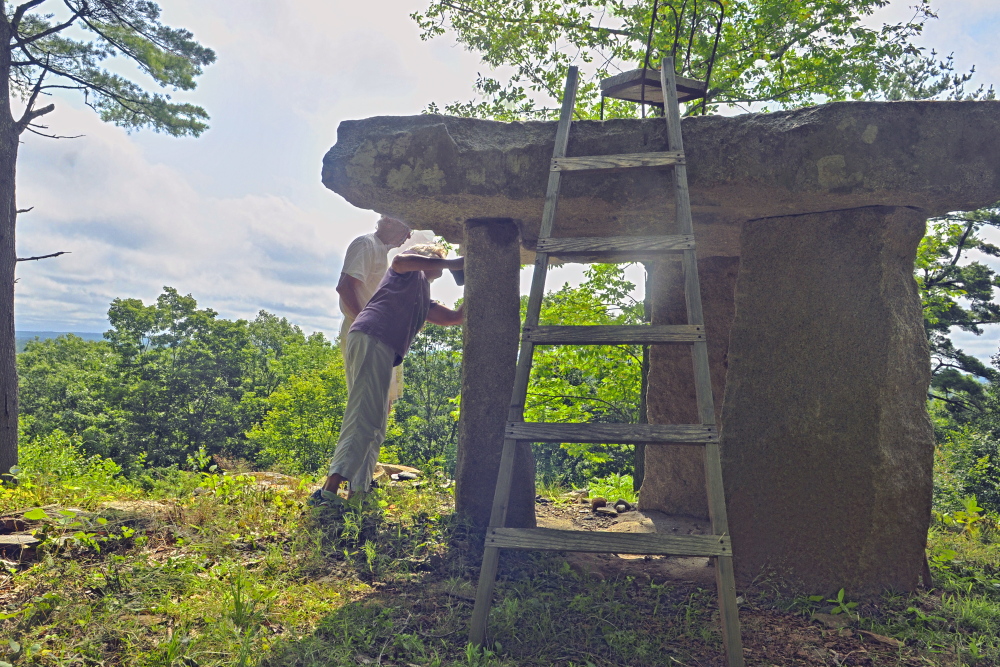
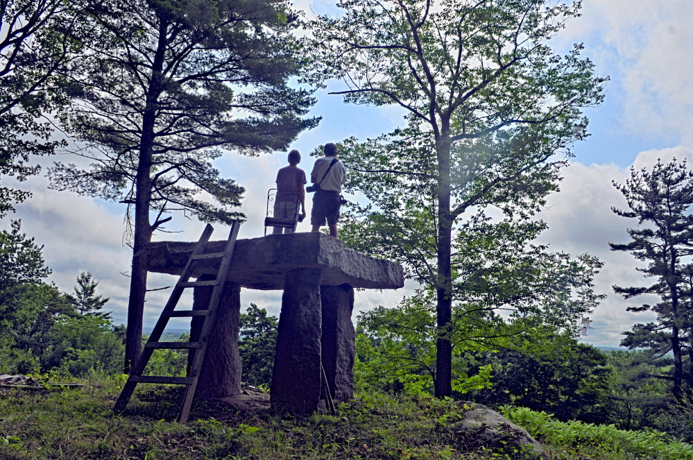
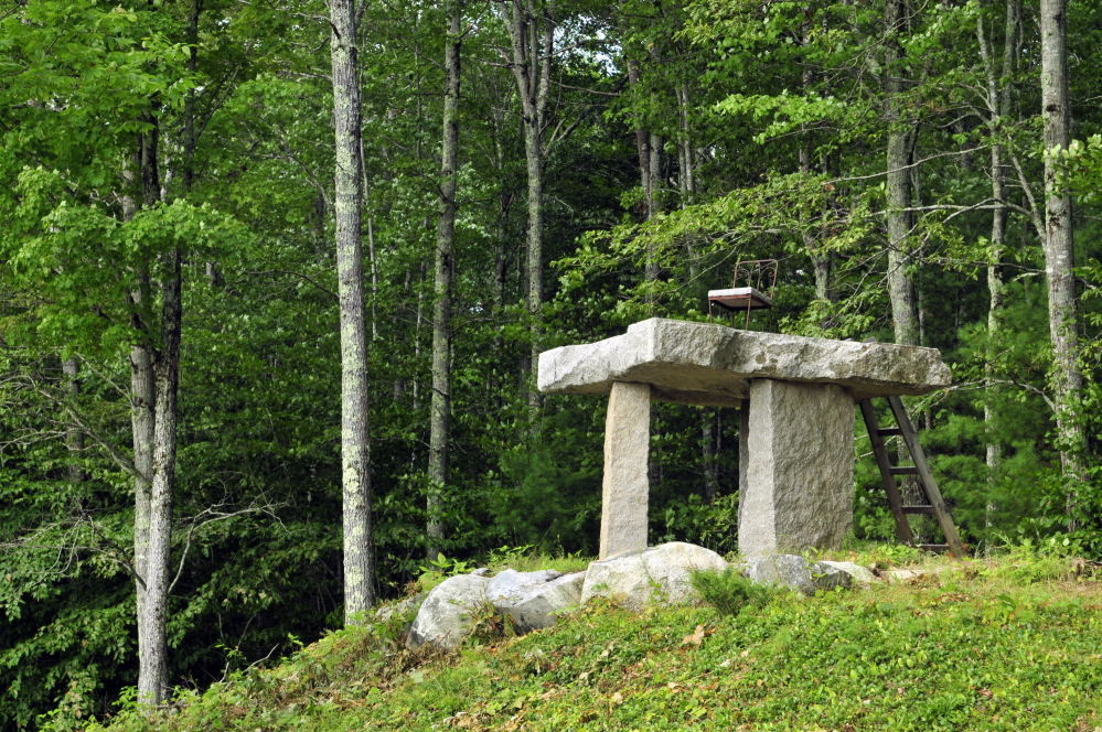
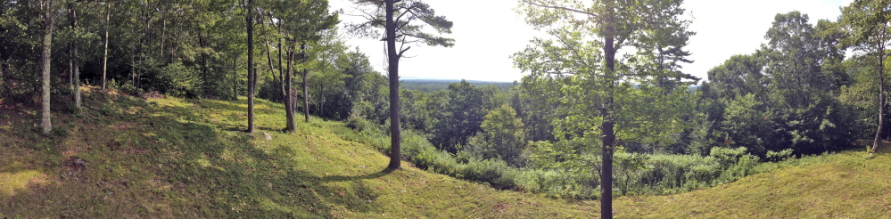
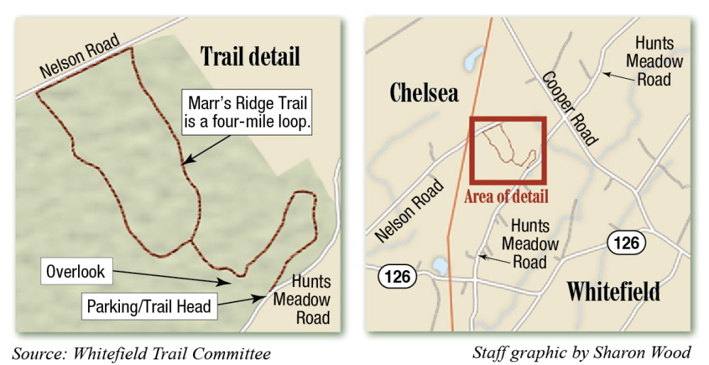
Marr’s Ridge Trail begins from a small parking area near a sugar maple house on Hunt’s Meadows Road and ascends up the back of a 400-foot ledge overlooking the Sheepscot Valley toward the east. On a clear day, the Camden Hills can be seen from a lookout point less than a mile down the trail.
The Whitefield Trail Committee is holding an unveiling ceremony for the trail at 9 a.m. Saturday at the trail head on the west side of Hunt’s Meadows Road, located about 1.5 miles from Route 126 to the south and about .7 miles from Cooper Road to the north.
The committee formed after residents at a public forum last year expressed interest in developing and mapping trails in the town.
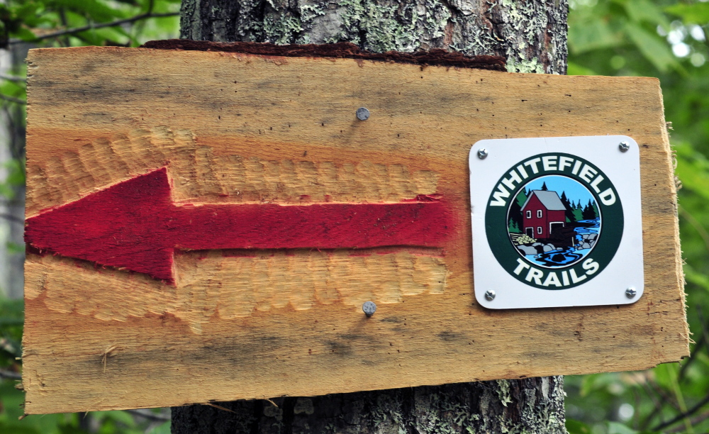
Marr’s Ridge Trail, a four-mile loop of narrow logging trails on a 360-acre conservation easement, is the first trail opened by the group, but the group has its sights on several other possible trails. The trail was developed first because the paths already existed for the most part, and the landowner was willing to allow people to use it for a trail.
Tony Marple, a Whitefield selectman and one of the organizing members of the trail committee, said there are plans to develop trails from the town office and Whitefield Elementary School to the Sheepscot River and along the former Narrow Gauge Railroad. The committee would also like to create trails near Weary Pond, he said. However, those potential trails will all require securing permission from multiple landowners, Marple said.
The owner of the Marr’s Ridge Trail property, Sandy Benne, donated an easement for a 360-acre wooded property to the Sheepscot Valley Conservation Association in 2010, according to Stephen Patton, executive director of the Newcastle-based land trust and advocacy group.
Benne, who couldn’t be reached for comment, said in a statement through committee member Kit Pfeiffer that he believes it’s important to have public access to open spaces. The easement he gave to the association is called Paradise Green, named after a park in the town where he grew up, Stratford, Conn.
The easement is divided in three parts: 158 acres of natural forest area, 125 acres for managed forestry and a 67-acre homestead, where Benne’s house is located. Forestry operations are allowed in the natural forest area while Benne owns the land, but it will become a protected area once the land changes hands, Patton said.
He said the association, which has around 3,700 acres under protections and owns seven preserves with 15 miles of trails, assisted the trail committee by creating a map of the Marr’s Ridge Trail. Patton, also a member of the committee, said the association has been supportive of the effort.
“We’re really grateful that a group of volunteers is willing to provide public access on property owned by private landowners, the town and land trusts,” he said.
Paul Koenig — 621-5663
Twitter: @paul_koenig
Send questions/comments to the editors.

Success. Please wait for the page to reload. If the page does not reload within 5 seconds, please refresh the page.
Enter your email and password to access comments.
Hi, to comment on stories you must . This profile is in addition to your subscription and website login.
Already have a commenting profile? .
Invalid username/password.
Please check your email to confirm and complete your registration.
Only subscribers are eligible to post comments. Please subscribe or login first for digital access. Here’s why.
Use the form below to reset your password. When you've submitted your account email, we will send an email with a reset code.