


Strong wind and fast-falling snow will make travel extremely dangerous Tuesday, the National Weather Service warned, as a storm expected to drop up to 18 inches of snow on central Maine traveled up the East Coast Monday.
While a blizzard is forecast for coastal areas, central Maine won’t get the sustained wind required to be classified a blizzard, but emergency planners urge area residents to still take the storm seriously.
Snow will begin falling in central Maine early morning Tuesday and will continue, heavy at times, through the evening, said Tom Hawley, a meteorologist at the National Weather Service in Gray.
While coastal areas will get 18 to 24 inches of snow, the weather service expects snowfall totals in central Maine to be between 14 and 18 inches, Hawley said. The Augusta area will get closer to 18 inches; the Waterville area and points north of Augusta will get around 14 inches, he said.
The weather service cautioned in its blizzard warning that whiteout conditions will make travel extremely dangerous Tuesday, if not impossible. The strong wind may lead to scattered outages, and temperatures in the teens and single digits along with the strong wind will lead to bitterly cold wind chills.
“If you are stranded outdoors, it could be potentially life threatening,” the weather service warned.
At least a foot of snow seems certain for most of central Maine, but totals will decline farther north and west, Hawley said.
The snow will taper off Tuesday night, but it’s not expected to completely end until after noon Wednesday, he said. There could be additional accumulation between 8 a.m. and noon Wednesday, potentially prompting some school districts to cancel both days, Hawley said.
The weather service issued a blizzard warning early Monday morning for most of the southeastern half of the state, but Hawley said central Maine likely won’t get blizzard conditions.
A blizzard is a storm with both sustained or frequent gusts of 35 miles an hour or more and visibility reduced to less than a quarter mile for three hours or longer. Conditions in central Maine may meet the threshold for blizzard-like visibility conditions, but the weather service doesn’t expect there to be sustained wind gusts of 35 miles an hour or more that far inland, Hawley said.
Wind speed is expected to be 20 to 25 mph in central Maine with gusts up to 35 to 40 mph, Hawley said. Communities along the coast will get gusts up to 40 to 45 mph, he said.
While it may not be sustained blizzard force, the wind is still the biggest concern for emergency planners, said Augusta Fire Chief Roger Audette.
Waterville Public Works Director Mark Turner said people staying off the roads, unless it’s absolutely necessary, will help public works crews.
Turner said a daytime advisory parking ban is being put into place for Waterville, and he asked that people not park on any streets if possible to make plowing easier.
“If there’s any obstruction or emergency vehicles trying to get through on narrow streets, that would be a case where we’d have to remove a vehicle,” Turner said. “We’re hoping we won’t have to do that.”
Those who do have to go out should be careful and be aware that visibility will be poor because the wind will blow snow around, Turner said.
Skowhegan Road Commissioner Greg Dore said the blowing snow makes it difficult for plow drivers trying to clear the roads.
“You plow the road and the wind fills it right back in 10 or 15 minutes, so it makes it real hard to keep up with the storm,” Dore said.
If the wind causes power outages, people could potentially be without power for extended periods because the snow will make travel difficult for power company crews, Audette said.
“You just don’t know how long people will be stranded in the snow or without power,” he said.
Audette also said emergency responders are concerned about people using generators, auxiliary heating sources or candles safely if their power goes out.
The Maine Emergency Management Agency tells people to never use generators inside homes, garages, crawlspaces or other structures, even when using fans or opening doors and windows for ventilation, because deadly levels of carbon monoxide can quickly build up and linger for hours.
People can’t see or smell carbon monoxide, and they should get to fresh air immediately if they start to feel sick, dizzy or weak, according to MEMA.
Municipalities and county emergency management agencies will open temporary shelters if needed. The American Red Cross works with county and municipal officials to set up regional shelters, or municipalities sometimes open their own warming shelters, said MEMA spokeswoman Lynette Miller.
The shelters for people without power are usually opened after storms pass to allow organizers and the people in need to reach the shelters safely, Miller said.
Waterville Senior High School and Waterville Junior High School have been approved to be shelters if needed, and the back hall and basement of the Winslow fire hall have served as warming shelters in the past.
In Augusta, both the Augusta Civic Center and Cony High School are prepared to be shelters if needed, Audette said.
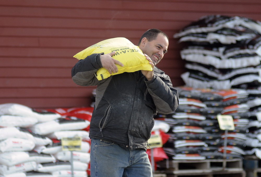
Public works crews in central Maine were also preparing Monday for the storm, fueling vehicles and ensuring trucks were loaded with salt and sand.
Sidney Road Foreman Leon Burgess advised residents in the area to stay home if they don’t have to travel on Tuesday.
“It’s going to be a long one, but we’ll get it done,” Burgess said of the storm. “Today has just been the usual gearing up, and we’re hoping for the best. I’m just hoping we don’t have a lot of breakdowns.”
The wind gusts will potentially cause large snow drifts three to four feet deep in central Maine, according to Hawley, the NWS meteorologist.
Some central Maine school districts announced Monday that their schools would be closed Tuesday, while others had yet to make a decision. All Augusta schools, Regional School Unit 2 in Hallowell and Regional School Unit 11 in Gardiner all canceled school for Tuesday.
MEMA plans to open its emergency response center early Tuesday morning, Miller said. The response center at the agency’s Commerce Drive headquarters allow all the necessary state departments to be on hand or available to coordinate if any special response is needed at the state level, she said.
“The biggest thing the public can do is just take this seriously,” Miller said. “Get out today and run the errands you need to run and if you don’t have to travel tomorrow, it’s a good day to stay where you are and stay safe.”
Miller said people should also check with their neighbors to make sure they are prepared for the storm and are OK during and after the storm. The last blizzard to hit the area was in February 2013, which, like the one forecast for Tuesday, caused more havoc in southern Maine, where it dropped a record 29 inches of snow, than it did in the Augusta and Waterville areas.
Staff writers Amy Calder, Doug Harlow and Rachel Ohm contributed to this report.
Paul Koenig — 621-5663
Twitter: @paul_koenig
Send questions/comments to the editors.

Success. Please wait for the page to reload. If the page does not reload within 5 seconds, please refresh the page.
Enter your email and password to access comments.
Hi, to comment on stories you must . This profile is in addition to your subscription and website login.
Already have a commenting profile? .
Invalid username/password.
Please check your email to confirm and complete your registration.
Only subscribers are eligible to post comments. Please subscribe or login first for digital access. Here’s why.
Use the form below to reset your password. When you've submitted your account email, we will send an email with a reset code.