


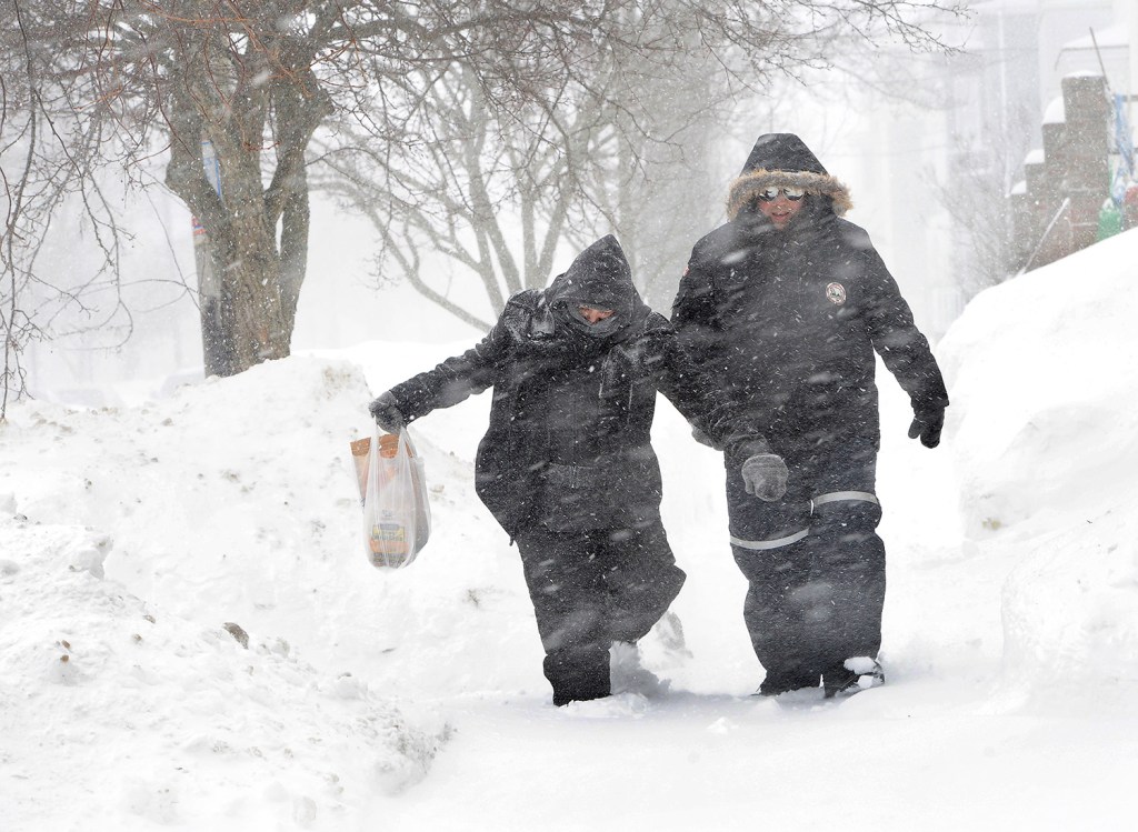


Portland has broken the record for the coldest February since records have been kept at the city’s airport. The previous record was set 36 years ago.
Meteorologist James Brown of the National Weather Service in Gray said the average monthly temperature of 13.8 degrees – 11.7 degrees below normal – broke the 15.6-degree mark set in 1979.

Brown said the weather service relies on data that has been collected since 1940 at what is now the Portland International Jetport. Though the weather service did collect weather data in Portland prior to 1940, it was collected at an intown location.
“You can’t compare the data because one location was much closer to the ocean,” Brown said Sunday.
In Bangor, where records go back to 1926, the average temperature was 6.1 degrees for February, beating out the previous record low of 11.3 degrees set in 1993, according to the weather service’s Caribou office.
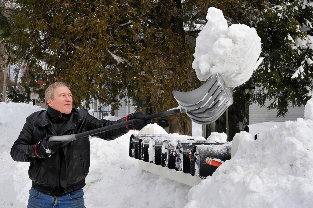
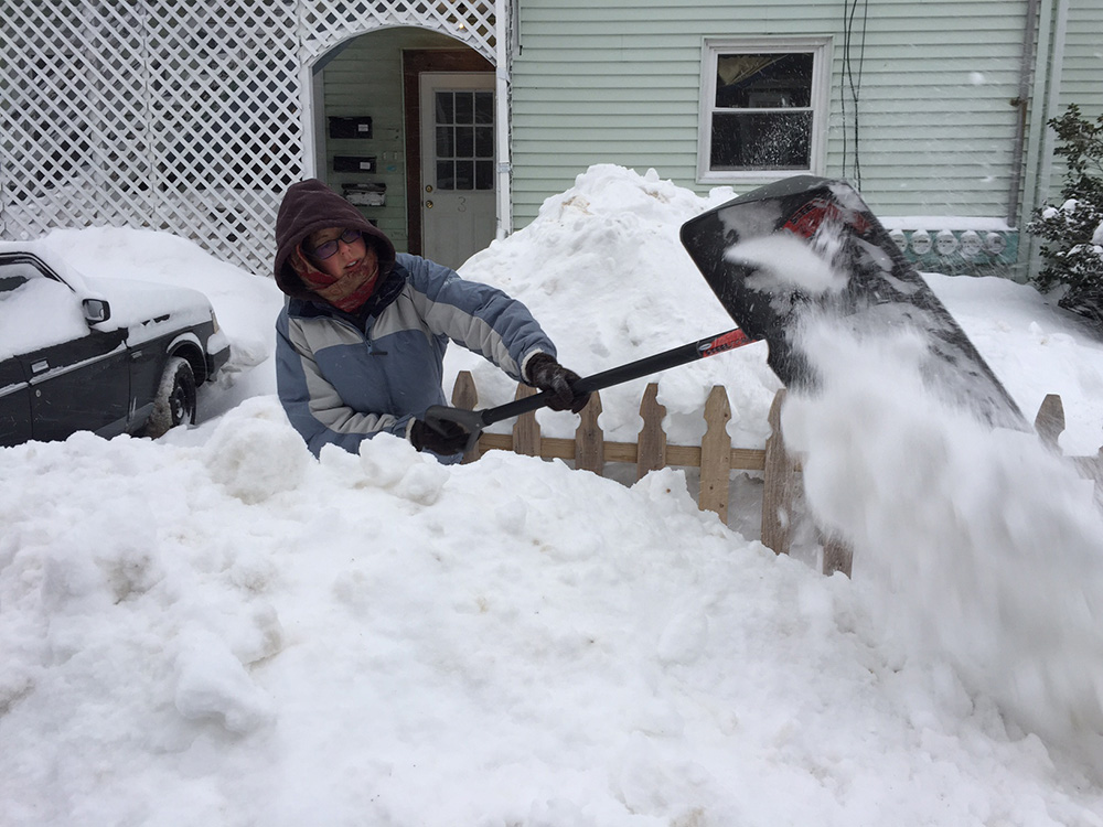
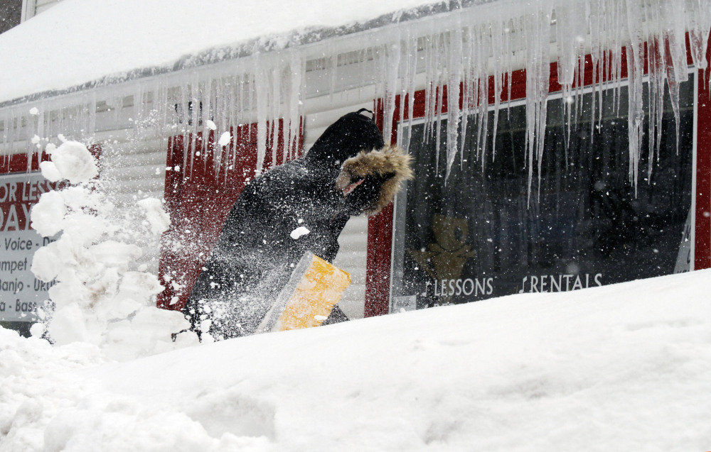
While February broke records for cold, this winter doesn’t begin to compare to the snowiest on record.
The weather service said Portland recorded 141.5 inches of snowfall in the 1970-71 season.
So far this season, 89.2 inches of snow has fallen at the jetport, Brown said. He said that ranks the 2014-2015 season as the 33rd snowiest on record. The season average for snowfall is 61.9 inches. A season runs from July through June.
“It’s a lot of snow, but we’ve had years that were much higher,” Brown said.
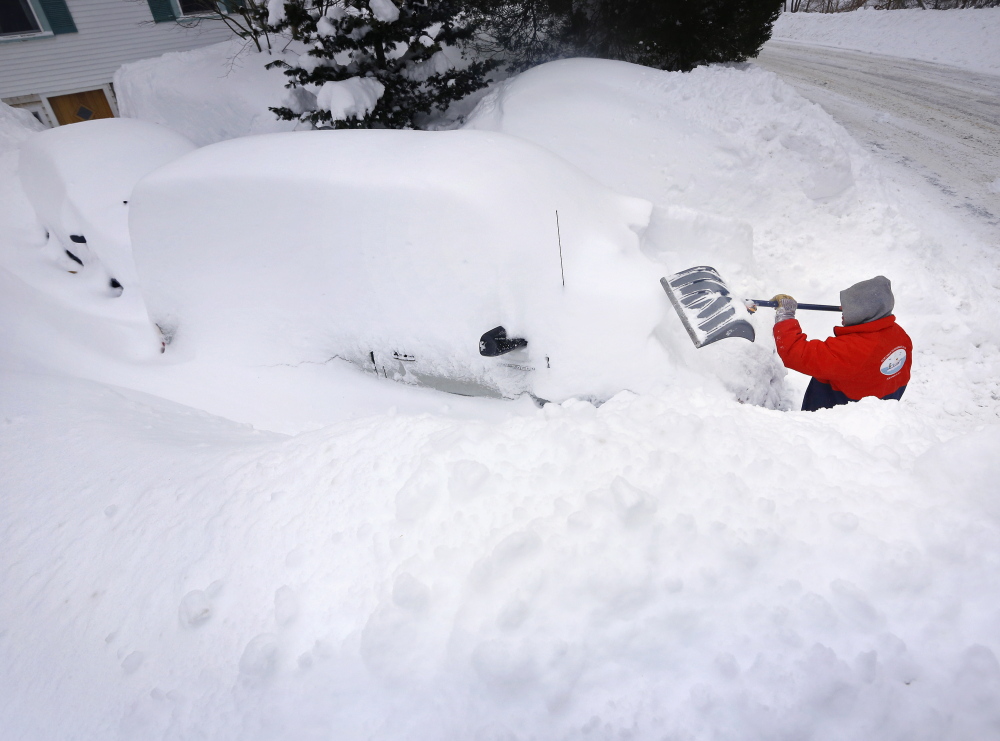
Still, this winter packed a punch with the second highest 30-day snow total at 65.4 inches in Portland between Jan. 24 and Feb. 22. The record was 66 inches between Feb. 2 and March 4, 1969.
SIGNS OF SPRING?
Because of all the snow and cold – and with February finally out of the way – people are starting to think about the arrival of spring.
Brown said the vernal equinox – or the official start of spring – will occur at 6:45 p.m. Friday, March 20. On the equinox, night and day are nearly the same length of time.
Daylight-saving time, another indicator that warmer weather and more daylight are on the way, will begin Sunday, March 8. On that day, people set their clocks ahead by one hour, a move that produces another hour of evening daylight.
Though it might seem a bit early, the annual Portland Flower Show, called “A Taste of Spring,” begins Wednesday evening at the Portland Co. complex off Fore Street.
Joanna Sprague, coordinator of the show, said several garden and landscape companies began building gardens last week inside the Portland Co.’s cavernous brick buildings. The rocks and stones used in many of the gardens were delivered to the complex frozen, but the gardens are starting to come together.
“Spring is in the building,” Sprague said Sunday night. “I can smell the mulch. It brings back all the good memories.”
“A Taste of Spring” will get underway with the flower show’s annual gala and awards ceremony from 6-9 p.m. Wednesday. That will be followed by four days of flower exhibits, lectures, food and live music.
The biggest challenge facing the flower show has been removing the piles of snow that have blocked some parking areas, Sprague said. There will be buses available for those needing a ride to the show.
Sprague said she is negotiating with the Portland Co.’s new owners for the rights to hold the 2016 flower show in same marine complex where it has been held for the past 18 years. Sprague and her husband, Phineas, sold the property in 2013 to CPB2, a development company.
Another sign of spring is the St. Patrick’s Day Parade, a celebration of Irish heritage recognized in cities across the country, including Portland.
The Irish American Club of Maine plans to hold the parade beginning at noon on March 15. It will start at the Fish Pier on Commercial Street and end at the Maine State Pier, according to Bob Kearney, chairman of the parade committee.
“The weather is starting to warm up,” Kearney said Sunday night. “Unless there is another blizzard, we are planning on holding the parade as scheduled.”
NO BLIZZARDS FORECAST
There are no blizzards on the horizon in Maine.
Brown said the forecast for this week seems tame compared to recent weeks.
He said there is a chance of snow Tuesday evening into Wednesday morning, but unusually warm weather – with temperatures reaching as high as 40 degrees – could melt whatever snow accumulates during the day Wednesday. Brown said it is likely Tuesday’s storm will produce more than 3 inches of snow, but it is too early to predict exact amounts.
Thursday and Friday will be colder, but should bring a lot of bright sunshine.
The cold has no end in sight, said Mike Kistner, another meteorologist at the weather service in Gray. But “that is a good thing,” he said.
Except for the one-day warm-up Wednesday, he said, temperatures will remain below average for the next couple of weeks, allowing the deep snowpack to melt gradually. A sudden blast of warm air – such as the stretch of 80-degree weather at the end of March 2012 – and a rainstorm could cause flooding, Kistner said.
The potential for spring flooding is normal, according to the weather service’s latest forecast. “Basically the spring flood potential across western Maine is normal and not at a high risk yet,” Kistner said.
The weather service’s Caribou office reported the potential for spring flooding as below normal for northern Maine and above normal for far Down East Maine.
Send questions/comments to the editors.

Success. Please wait for the page to reload. If the page does not reload within 5 seconds, please refresh the page.
Enter your email and password to access comments.
Hi, to comment on stories you must . This profile is in addition to your subscription and website login.
Already have a commenting profile? .
Invalid username/password.
Please check your email to confirm and complete your registration.
Only subscribers are eligible to post comments. Please subscribe or login first for digital access. Here’s why.
Use the form below to reset your password. When you've submitted your account email, we will send an email with a reset code.