

The Kennebec River might still be a thick sheet of ice in most places, but with spring thaw inevitable, a group of experts will meet Thursday to determine what the ice and thick snowpack farther north mean for spring flooding along the river this year.
The River Flow Advisory Commission meets at 10 a.m. Thursday at the Maine Emergency Management Agency headquarters in Augusta to assess this year’s flood potential.
Additional Images
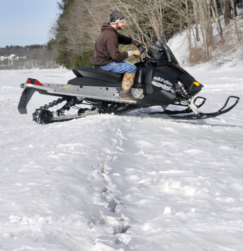
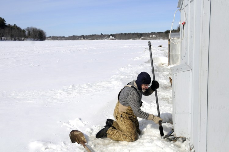
Despite the river’s ice cover, which smelters and others estimated to be about 2 feet, those who use the river are beginning to prepare for the thaw.
The River Flow Advisory Commission is made up of members from the U.S. Geographical Survey Water Science Center; MEMA; several state agencies; the National Weather Service; representatives of organizations that have dams on the river, including Brookfield Renewable Energy and Sappi Fine Paper in Skowhegan; and others.
It was formed after spring floods in 1983 to coordinate information collected by members of the group.
The National Weather Service reported Feb. 20 that ice was thickening on most northern New England rivers to 2 feet or more, and it would stay that way for a couple of weeks as the temperature stayed mostly below freezing. The next report is due Friday.
The weather service also reported it’s keeping an eye on potential ice jams on the Kennebec in Madison and North Sidney, both traditional trouble spots for ice jams and spring flooding.
The weather service said the potential for spring flooding is normal for this time of year, but added, “It is important to note that major flooding does not occur from snowmelt alone. Rainfall, how much and in how short a period of time is the most important factor in determining the severity of flooding.”
Tom Hawley, of the weather service, said recently that the area experienced some of the coldest temperatures of the winter in February, but by this week, those numbers should start to moderate.
“I would suspect sometime in March we’re going to see a melt,” he said. “We just don’t want to see a rapid warm-up and 5 inches of rain. The ideal way to melt the snow and ice would be milder days in the 30s and 40s and cold nights below freezing with little in the way of rainfall.”
Temperatures Wednesday in the Augusta and Waterville areas are forecast to reach the low 40s, then drop back into the 20s for the rest of the week before getting into the mid-30s again next week. No rain appears yet in the 10-day forecast.
Send questions/comments to the editors.

Success. Please wait for the page to reload. If the page does not reload within 5 seconds, please refresh the page.
Enter your email and password to access comments.
Hi, to comment on stories you must . This profile is in addition to your subscription and website login.
Already have a commenting profile? .
Invalid username/password.
Please check your email to confirm and complete your registration.
Only subscribers are eligible to post comments. Please subscribe or login first for digital access. Here’s why.
Use the form below to reset your password. When you've submitted your account email, we will send an email with a reset code.