

It’s finally here, the peak of what is on average the warmest days of the warmest month of the year. When anyone asks me which week I recommend for vacation I tell them to take the third or fourth week in July. It’s not so much that the week before or after is really much different, and it can be even hotter in early August, but if you strictly go by averages, this is the warmest period of the year.
I love numbers and statistics. As a meteorologist it’s actually fun for me to look at weather data and see what’s happening at any given moment. What I really like is comparing the present state of the atmosphere to what it should be like.
The average high temperature in Portland on July 22 is 79.3 degrees and remains the average through the 27th. The average low temperature is 60 degrees. Being farther away from the ocean, inland areas are even warmer during the day, yet nights are also cooler away from the moderating effects of the water.

Average temperatures during a typical year as compared to 2016 thus far
As if right on cue, high pressure is going to slip to its summer position and set up camp this week. After a few showers Monday afternoon and evening, the rest of the week looks quite nice with sunshine. My picks this week are Wednesday and Thursday with pleasantly warm readings and low humidity.
As the high pressure parks itself to our southeast a flow of very warm and tropical air will ensue. This resumes the pattern of heat and humidity in the area and, even when it breaks for a few days, it will quickly come back. You can see the high or H, moving south and off the coast of the Carolinas this week. This is so typical for July and the first part of August.
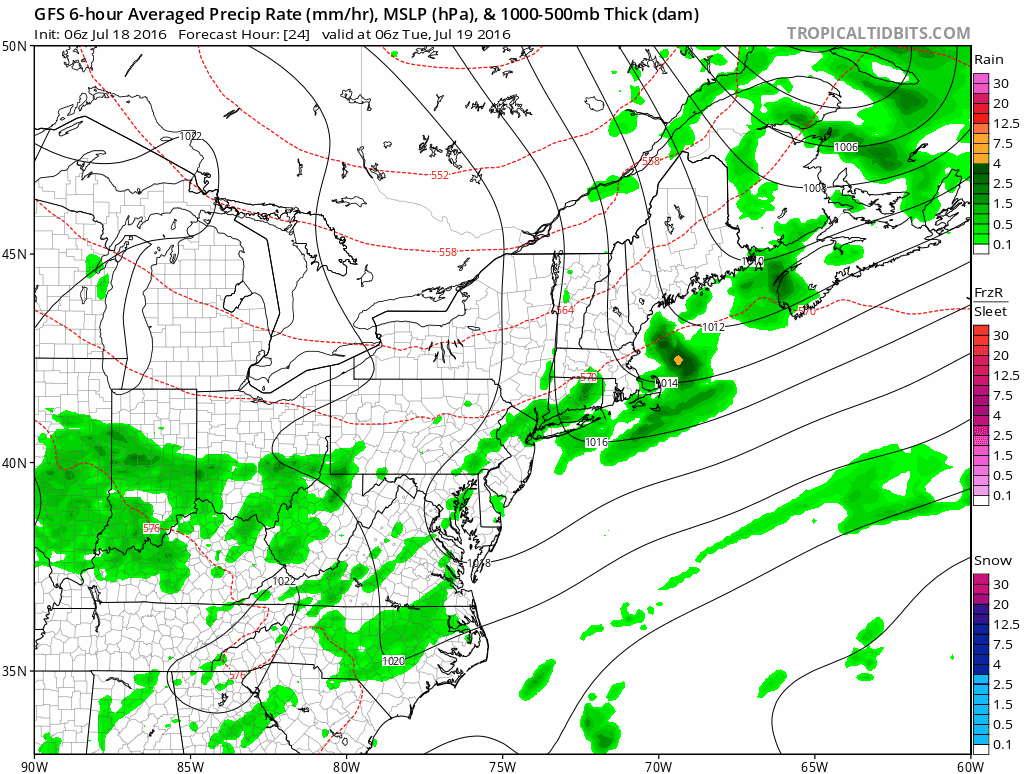
Surface map this week
After Monday’s humidity, the air will dry behind a frontal system. Our driest weather will come as highs build to our west. The most humid weather will arrive as the same high passes to our south. This is because the circulation around high pressure tends to be cooler and drier as the high moves in and warmer and more humid as the high departs.
Lastly, don’t worry if you’re working this week or next and have waited until August to take your vacation. Average temperatures fall very slowly. It takes about two weeks for the average to fall even 1 degree! Some of the hottest temperatures ever recorded in New England have come during August as well.
Send questions/comments to the editors.

Success. Please wait for the page to reload. If the page does not reload within 5 seconds, please refresh the page.
Enter your email and password to access comments.
Hi, to comment on stories you must . This profile is in addition to your subscription and website login.
Already have a commenting profile? .
Invalid username/password.
Please check your email to confirm and complete your registration.
Only subscribers are eligible to post comments. Please subscribe or login first for digital access. Here’s why.
Use the form below to reset your password. When you've submitted your account email, we will send an email with a reset code.