

A flood watch is in effect for many parts of central and western Maine through Wednesday and the panel that assesses the state’s river flooding potential is meeting for the second time this spring Monday morning.
The watch, issued Sunday afternoon by the National Weather Service in Gray, is for many parts of the state, including Kennebec, Franklin, Somerset and Waldo counties.
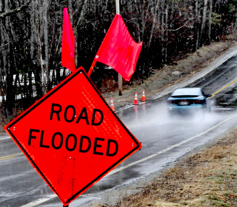
Additional Photos
Barricades blocked the entrances to Front Street in Augusta Sunday afternoon, and a sign warned of flooding. Small ice floes appeared bobbed on the swiftly moving dark water. The river from Augusta south to Gardiner frequently floods this time of year.
“People think we’re out of the woods because there’s no ice down here,” said Richard Beausoleil, Kennebec County emergency management director. “There’s still a big snow pack up north, and the concern is if we get rain and warm weather. The problem is it doesn’t soak into the still-frozen ground, it just runs off into small rivers and tributaries.”
Beausoleil noted that “one-fifth of Maine’s water flows out the Kennebec River.”
In Somerset County, Sandy River Road in Mercer and Middle Road in Skowhegan flooded, although both roads remained open, according to a dispatch officer for the Somerset County Communications Center.
The state River Flow Advisory Commission is holding a second meeting via conference call 11 a.m. Monday to discuss the current potential for spring flooding, according to Beausoleil. The panel met last month and determined the liklihood of spring flooding is higher than normal this year.
According to the National Weather Service, the most significant threat of floods is Tuesday into Wednesday when a cold front could cause an inch of rain or more. But the NWS alert also says Sunday’s rain and Monday’s forecast warmth can also cause high water.
A flood watch means there is a potential for flooding based on current forecasts, according to the weather service.
The NWS release says that the combination of rapid snow melt, mild temperatures and periods of rain “will keep most rivers running high through mid-week.”
“In addition, there remains some ice movement on some rivers, which could cause fluctuations to the river levels.”
The alert said those who live in areas prone to flooding should monitor forecats and “be prepared to take action should flooding develop.”
Send questions/comments to the editors.

Success. Please wait for the page to reload. If the page does not reload within 5 seconds, please refresh the page.
Enter your email and password to access comments.
Hi, to comment on stories you must . This profile is in addition to your subscription and website login.
Already have a commenting profile? .
Invalid username/password.
Please check your email to confirm and complete your registration.
Only subscribers are eligible to post comments. Please subscribe or login first for digital access. Here’s why.
Use the form below to reset your password. When you've submitted your account email, we will send an email with a reset code.