Electricity had been restored Wednesday morning to most residents in the town of York, one of the areas hardest hit by powerful storms that roared through the state Tuesday evening.
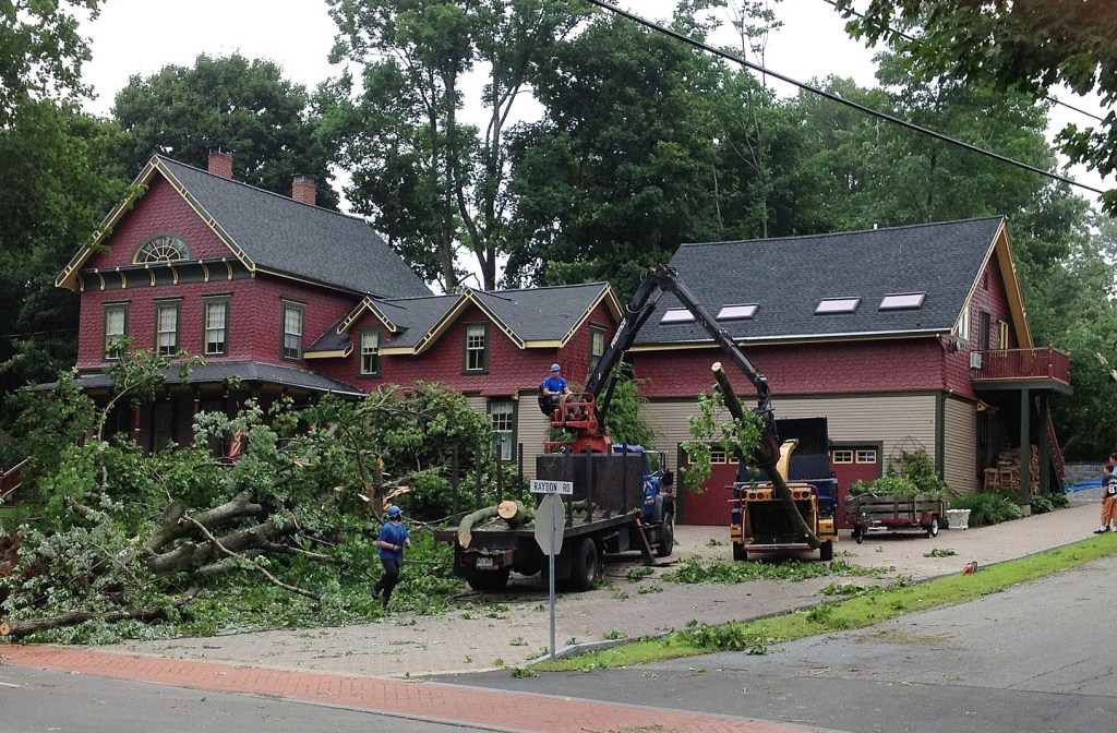
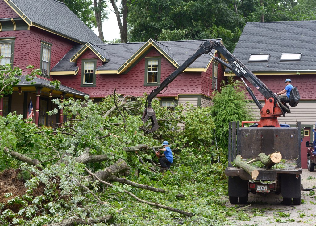
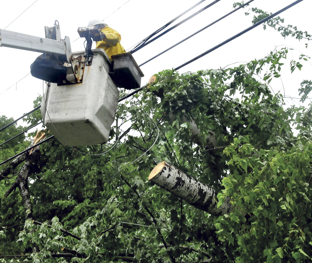
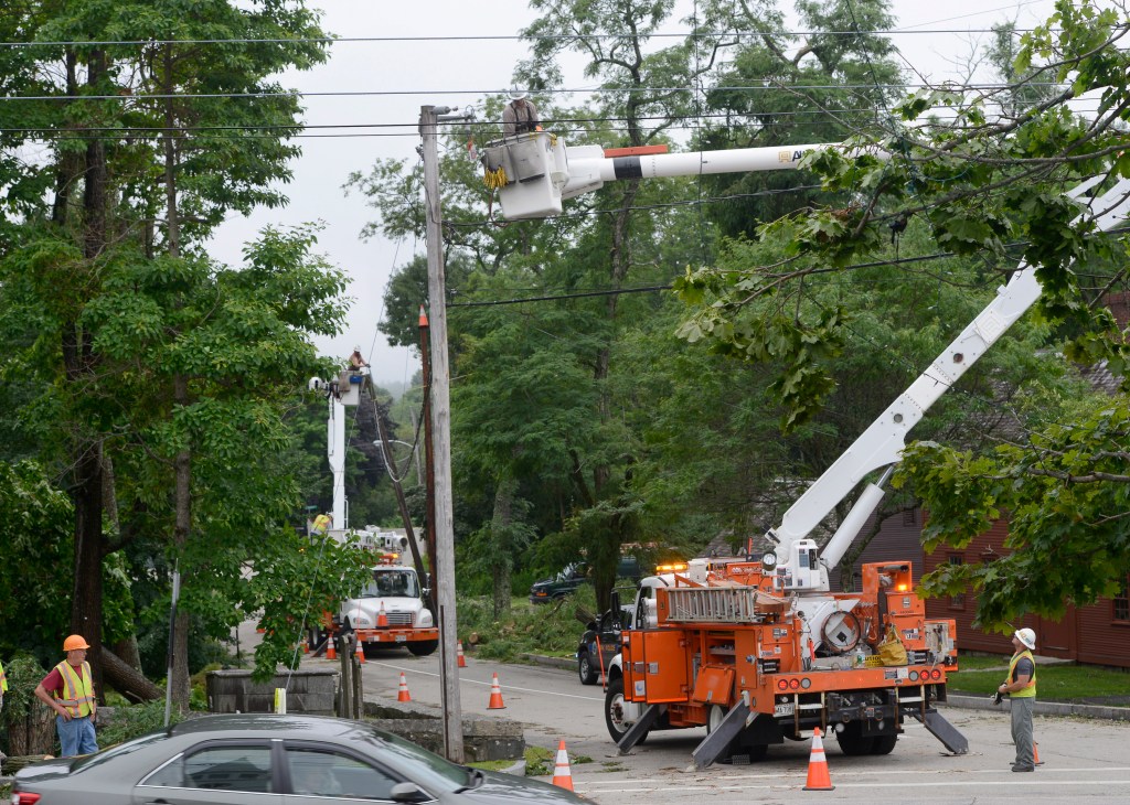
Downed trees, limbs and branches are scattered over lawns and streets – and on top of some cars and homes – in the downtown area. Traffic crawled through the town center on Wednesday morning as tractors, cranes and crews worked to clear the trees and limbs. York police urged motorists to stay away from the Village Area during the cleanup.
“What a mess,” said Town Clerk Mary-Anne Szeniawski. “By the grace of God, no one has been hurt. It is amazing considering the devastation here.”
At one point, the entire town of 10,098 customers was without power, as near-hurricane force winds toppled trees that pulled down wires. By 9 a.m. Wednesday, all but 557 had been restored, according to Central Maine Power Co.’s website.
“It seems like our village area got hit hardest, with lots of trees on houses and cars,” said Sgt. Steve Spofford, of the York Police Department. He was aware of no serious storm-related injuries.
The Old Post, Organug and Lindsey roads remain closed or partially closed as crews work to remove trees and power lines.
About 50 people were attending a dinner inside the First Parish Congregational Church Tuesday when the storm struck. They took shelter in the church’s basement as a precaution, although the church itself came through unscathed – just barely.
A large oak tree in front of the church blew over on two parked cars, crushing both. A limb from the tree fell on a third car, apparently destroying it, too.
Don Bernier and two fellow church members used chainsaws Wednesday morning to cut limbs off the big oak, which narrowly missed the church and its sign.
“We are so lucky,” Bernier said.
Bernier was at his home when the storm blew through town. “It got so dark. I have never seen it get so dark at that time of day,” he said “It was frightening.”
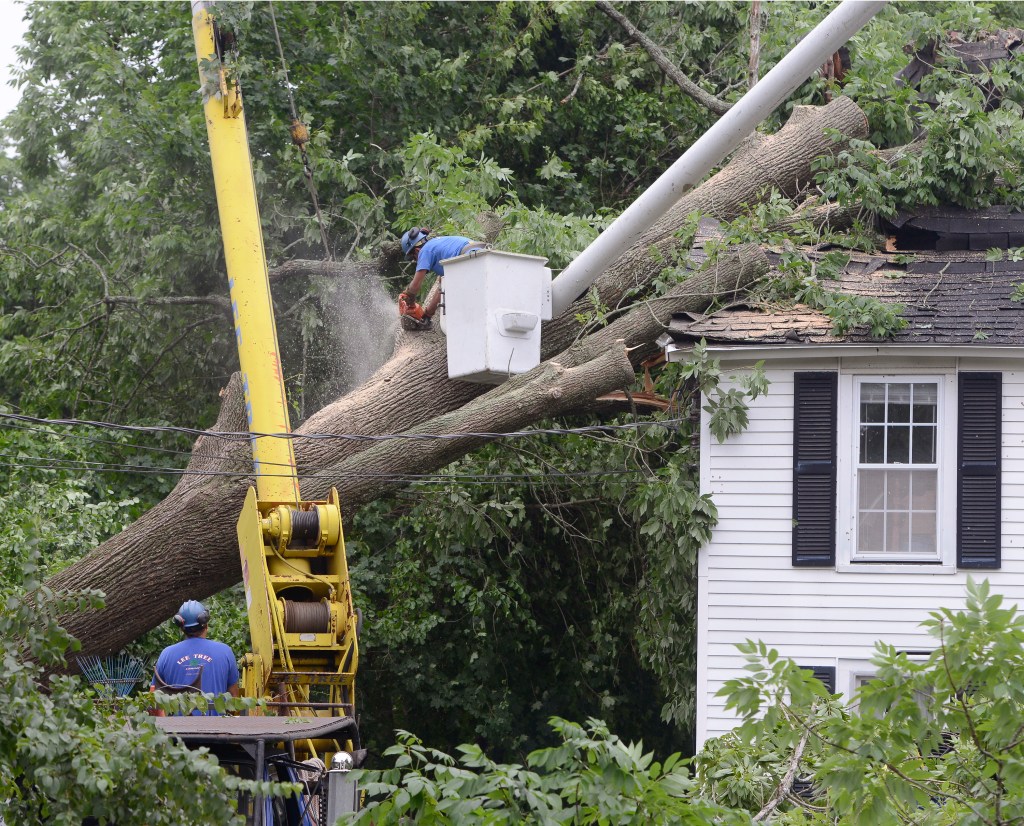
Two doors down from the church, an ash tree blew onto power lines and across the roof of a duplex, crushing the corner of the two-story house.
Joan Williamson was inside the apartment on the other side of the house when it hit. “It was really raining hard and, truly, (the storm) , seemed like only three minutes,” she said.
Williamson and the tenant of the neighboring apartment had to stay elsewhere for the night. On Wednesday morning, a crane held up the bulk of the tree as workers cut off the limbs.
The winds also toppled a decorative post on the recently restored Sewall’s Bridge.
A driver lost control Tuesday night, crashing into a utility pole on Route 1 just south of Mountain Road. The crash brought down wires that shut down the road for most of the night. The driver escaped with minor injuries. The road has since reopened, authorities said.
A spokesman for the National Weather Service said winds may well have topped 70 mph. Hurricane force winds are defined as 74 mph or greater.
Tom Hawley, of the National Weather Service in Gray, said Wednesday that a weather service staff person will visit York today to assess the damage there from what appears to be a microburst, when strong winds in the upper atmosphere are pushed down to ground level by heavy downpours. A microburst produces straight line winds fanning outward, compared to the criss-cross wind direction of a tornado, he said.
The weather service also plans to send a staff person to St. Albans, located north of Waterville, to confirm whether it was a tornado that descended on that town Tuesday evening.
“We had reports of hundreds if not thousands of trees down in St. Albans, with diameters of 15 to 20 inches snapped or uprooted,” Hawley said.
That analysis won’t take place until Thursday because Wednesday is likely to continue having strong downpours, he said.
The weather service did not have records of the highest winds in the state because they did not occur where the service has monitoring apparatus. The highest rainfall total recorded was 4.2 inches in Madison, which experienced heavy flooding.
A flash flood warning remains in effect for the entire state Wednesday through 8 p.m. as a cold front to the east of Maine moves slowly westward through persistently warm, wet conditions.
Warm temperatures in the 80s and dew points of 70 degrees or higher have created conditions for sometimes violent storms as the cold front moves into the state, Hawley said.
“It’s about as humid as it ever gets in the state of Maine,” Hawley said. “It’s like you’re boiling a pot of water.”
Send questions/comments to the editors.
















Success. Please wait for the page to reload. If the page does not reload within 5 seconds, please refresh the page.
Enter your email and password to access comments.
Hi, to comment on stories you must . This profile is in addition to your subscription and website login.
Already have a commenting profile? .
Invalid username/password.
Please check your email to confirm and complete your registration.
Only subscribers are eligible to post comments. Please subscribe or login first for digital access. Here’s why.
Use the form below to reset your password. When you've submitted your account email, we will send an email with a reset code.