


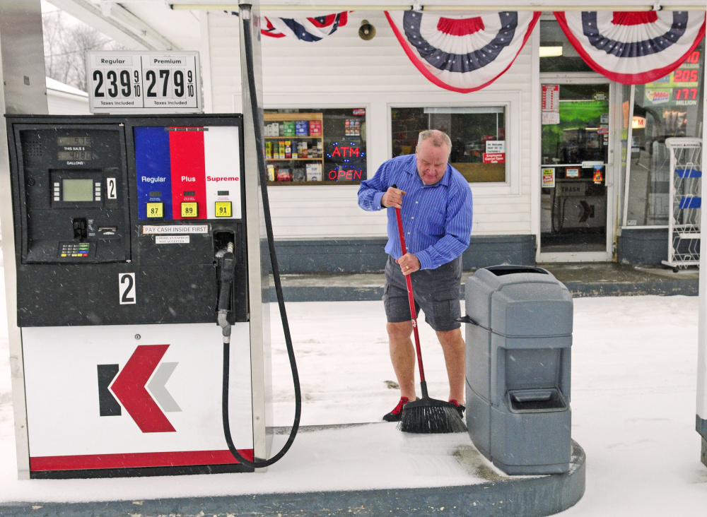
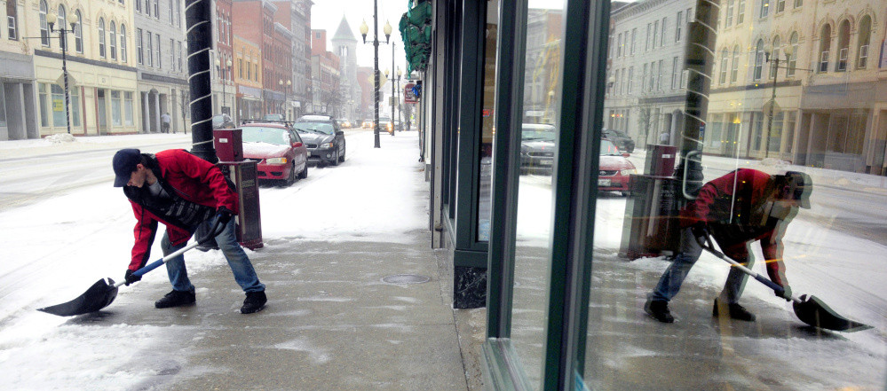

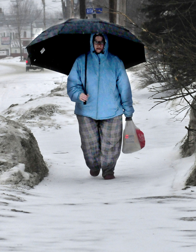
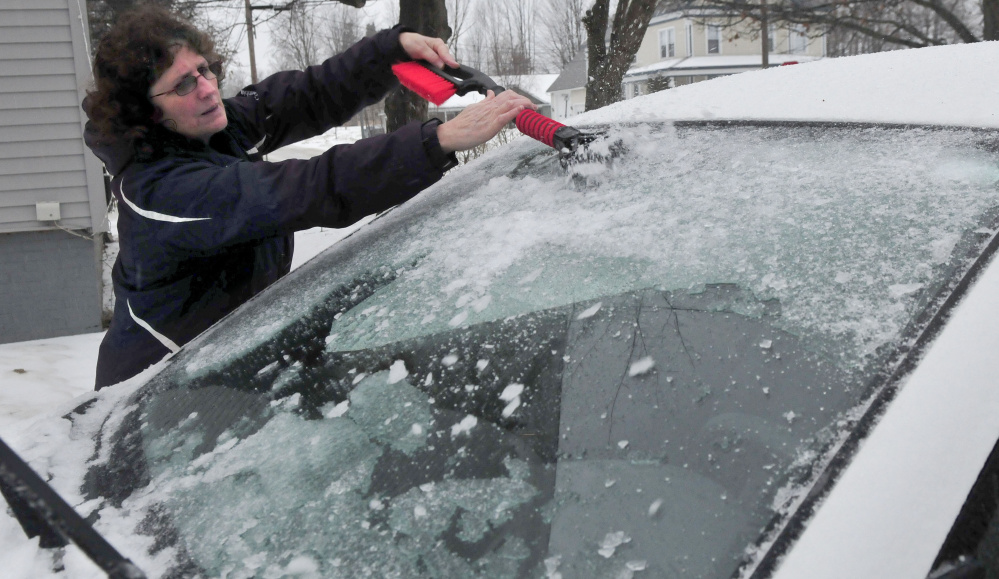
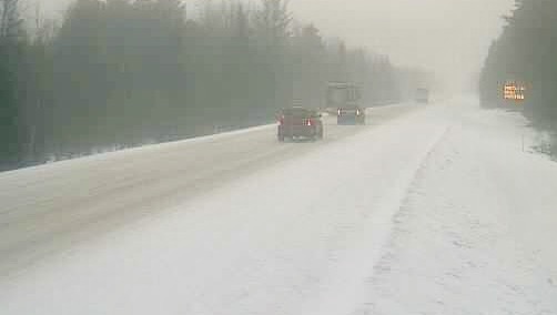
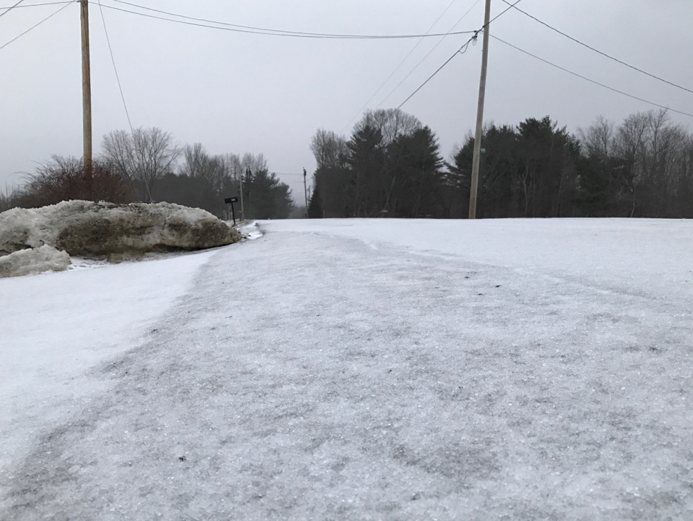
A dangerous mix of sleet and freezing rain blanketed central Maine on Tuesday, leading to treacherous road conditions, power outages, a few car crashes and scores of storm-related cancellations.
The National Weather Service had issued a winter weather advisory for central Maine until about 10 p.m. Tuesday. Forecasts called for a mixture of snow, sleet and freezing rain with about 2 to 4 inches of accumulation, including two-tenths of an inch of ice. The temperature hovered in the upper 20s most of the day before rising later to near or above freezing.
Michael Cempa, a meteorologist for the National Weather Service, said the duration of the sleet storm was a bit unusual, because it requires certain meteorological conditions for an extended period of time. Sleet is caused when a warm layer of air melts falling snow into rain, and that rain then falls into colder air below and freezes again before hitting the ground.
He said it’s not unusual to have some accumulations of sleet, but that Tuesday’s storm was unusual in the amount the state saw. He said it was difficult to measure exactly how much sleet fell, because at times it would mix with snow.
“Sleet is just rare to get it for that extended period of time,” Cempa said.
Most police departments, including Maine State Police, were reporting few weather-related incidents, but there were a handful of crashes.
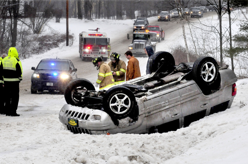
Shortly after 2 p.m., a car rolled over amid slick conditions on U.S. Route 201 in Winslow, halting traffic in both directions. According to Winslow police Lt. Josh Veilleux, a car driving about 45 mph — too fast for the conditions — rolled over on U.S. 201, also called Augusta Road. The driver, Troy Gurski, 21, of Waterville, apparently had the right-side tires get “caught in the deeper slush causing him to be pulled into the higher snowbank, which then rolled the vehicle on his roof,” Veilleux said. Both Gurski and his passenger, Justin Gaxiola, 29, of Benton, were unharmed and declined medical treatment.
A tractor-trailer hit a utility pole in Pittsfield on U.S. Route 2, and there were at least two accidents on Interstate 95. Dispatchers for state police Troop C reported no injuries in any of those cases.
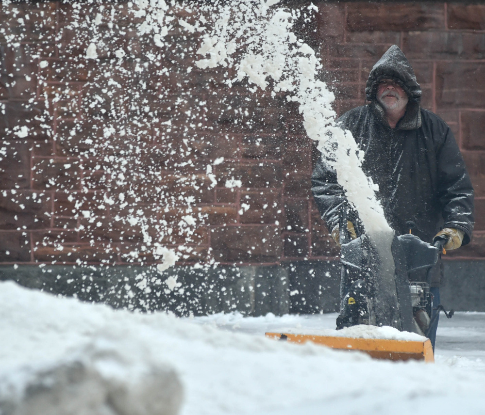
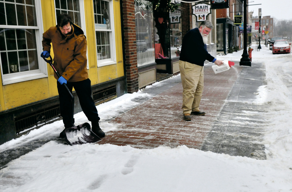
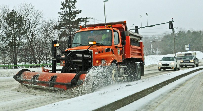
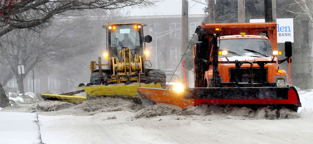
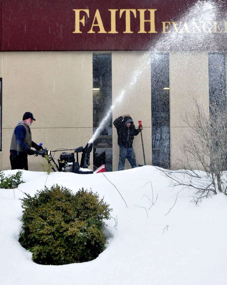
Throughout the day Tuesday, public works departments across the state were working to combat the storm.
Mark Turner, public works director in Waterville, said Tuesday afternoon that his crews still were out and working, as the precipitation was expected to last into the evening. He said the roads were under control, but conditions still remained difficult for drivers; and since the storm had turned to sleet, they didn’t want to scrape the streets fully.
Augusta Public Works Director Lesley Jones said Tuesday had been a busy morning and day, but they were rotating crews in and out to ensure workers were able to go home and get sufficient sleep before coming back out. She said crews had been out since 2 a.m. Tuesday, but that the weather had all been sleet and not snow. She said crews were expected to stay out until about 6 a.m. Wednesday.
“Traffic’s been good. A lot of people seemed to stay home,” Jones said. “People are driving carefully. I don’t think there have been many bad accidents.”
National Weather Service meteorologist Tom Hawley said the temperature in the Waterville-Augusta area was not expected to exceed 32 degrees or dip below 30 degrees, meaning the storm probably would continue to be sleet or freezing rain. He said the storm was expected to be gone by the morning commute on Wednesday.
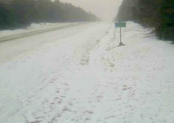
Meanwhile, the speed limit was reduced to 45 mph for the entire length of the Maine Turnpike.
Maine Department of Transportation spokesman Ted Talbot said crews had been working pretty much full force since the overnight hours, and supervisors called out crews as needed, with the first work beginning in York County before building into the entire state. He said at times as many as 350 department plow trucks were on the road simultaneously.
Talbot said it was tricky in the southern part of the state, because it was mostly sleet there. He said sleet continues to be a problem in the midcoast area as well, while northern parts of the state were hit with more snow. Central Maine has been bouncing back and forth between sleet and freezing rain, he said, and the department’s workers change their response based on what the precipitation is. The department’s ferry service was canceled Tuesday.
“This storm is affecting everyone, and we thank everyone for their patience and we will continue to be out as long as it’s needed,” Talbot said.
Central Maine Power Co. issued a statement late Monday afternoon telling its customers about potential power outages from what it characterized as a “major winter storm.” The company said it was concerned because gusty wind “could put tree limbs into contact with power lines and may create dangerous travel conditions that could lead to car-pole crashes.”
By Tuesday evening about 4,500 outages had been reported to CMP, mostly in Cumberland County. Earlier Tuesday, there had been more than 6,000 outages, mostly in the southern and eastern areas of the state, before dwindling to just a few hundred outages, then spiking back up again. Just a dozen or so outages were reported Tuesday morning in Kennebec County before power was restored.
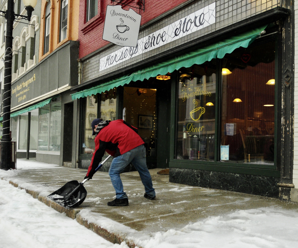
Schools across the state also were closed Tuesday, including Augusta schools and Waterville-based AOS 92; and the Legislature canceled all hearings and meetings scheduled for Tuesday and closed legislative offices. Many municipal offices and businesses closed early Tuesday afternoon as well.
Thomas and Kennebec Valley Community colleges were closed Tuesday because of the storm. Colby College in Waterville, meanwhile, remained open.
Colin Ellis — 861-9253
cellis@centralmaine.com
Twitter: @colinoellis
Send questions/comments to the editors.

Success. Please wait for the page to reload. If the page does not reload within 5 seconds, please refresh the page.
Enter your email and password to access comments.
Hi, to comment on stories you must . This profile is in addition to your subscription and website login.
Already have a commenting profile? .
Invalid username/password.
Please check your email to confirm and complete your registration.
Only subscribers are eligible to post comments. Please subscribe or login first for digital access. Here’s why.
Use the form below to reset your password. When you've submitted your account email, we will send an email with a reset code.