

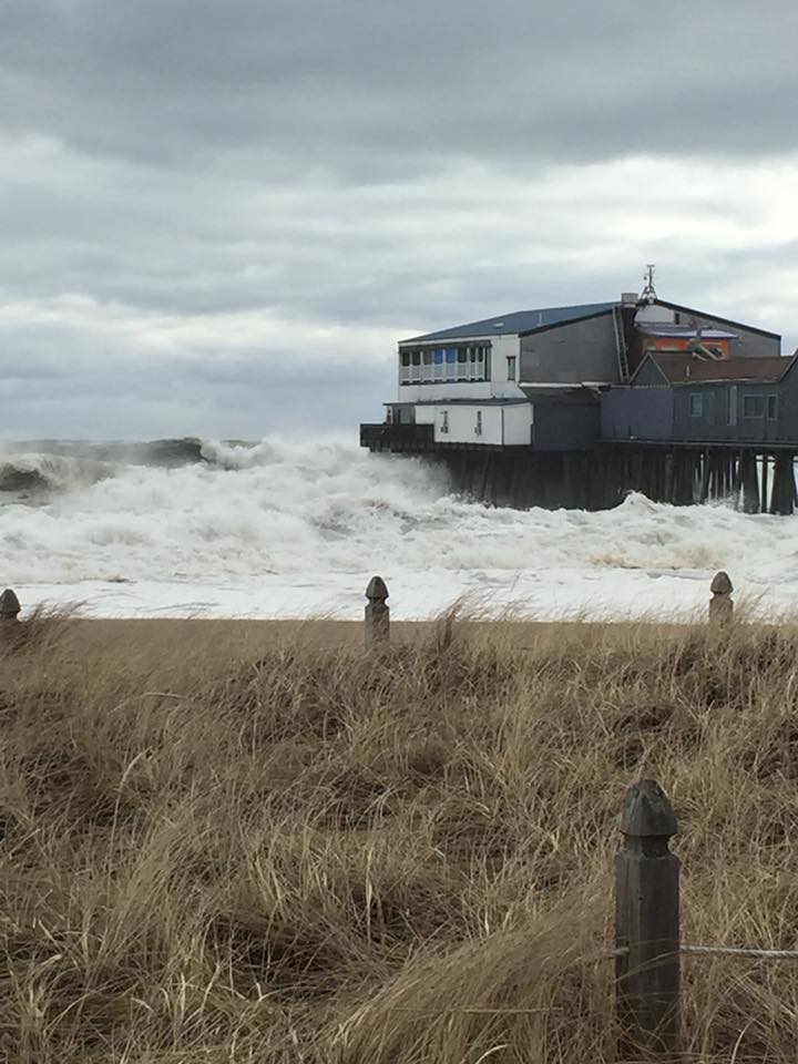
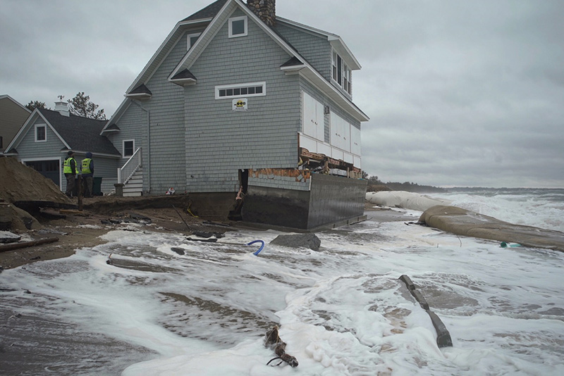
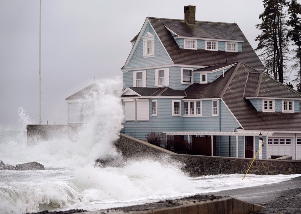
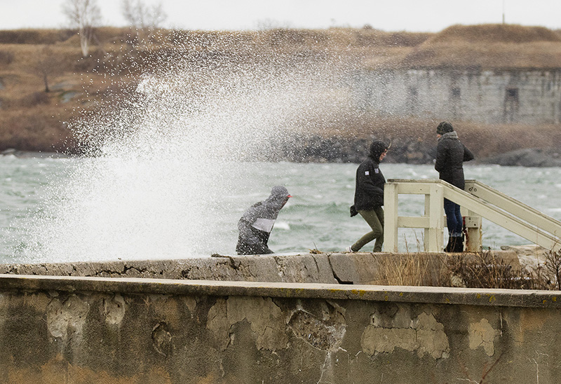
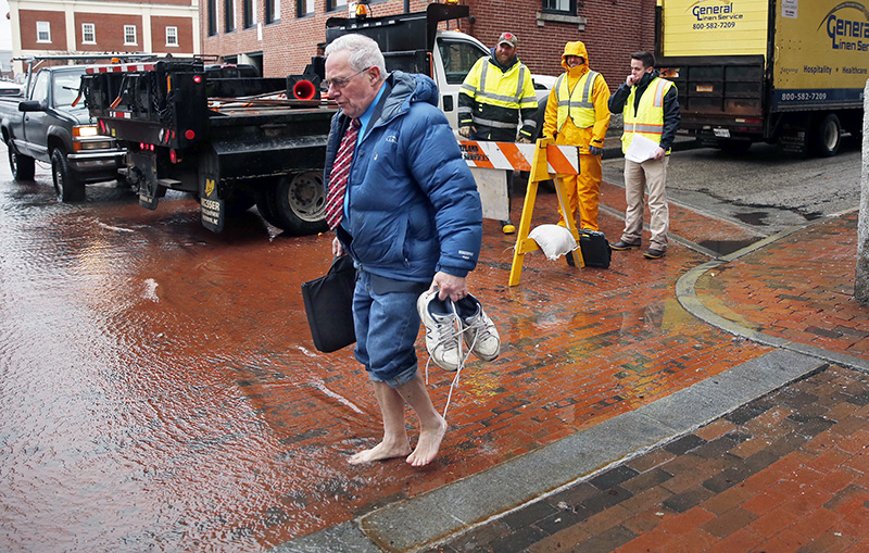
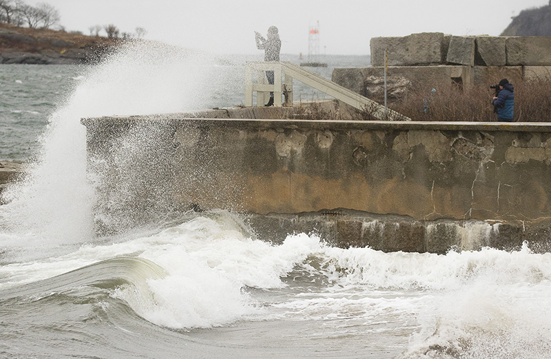
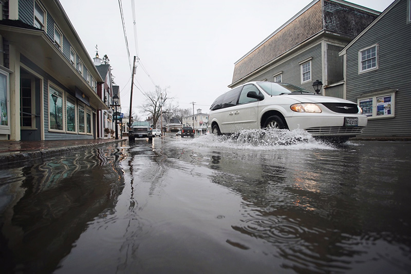
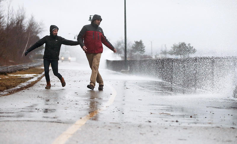
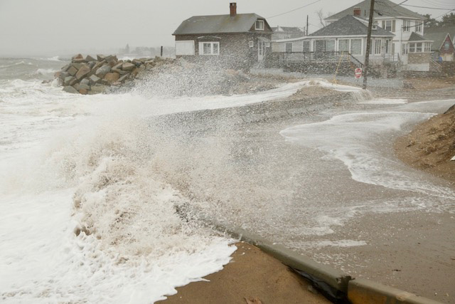

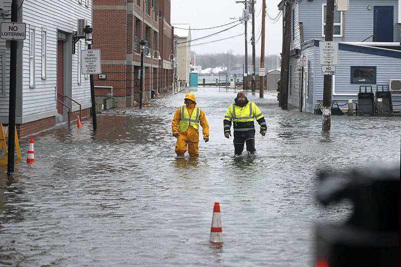
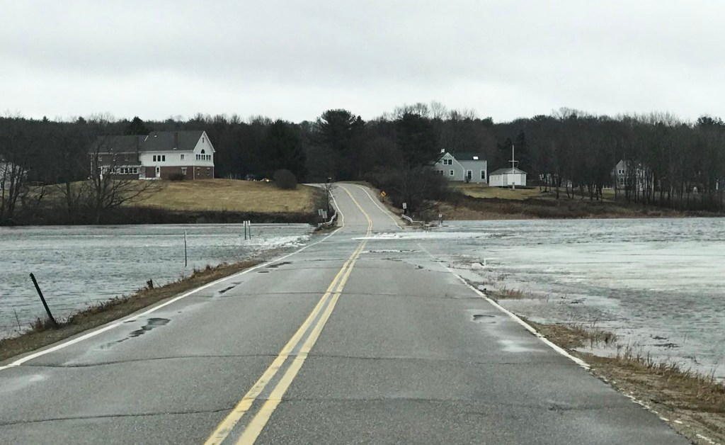

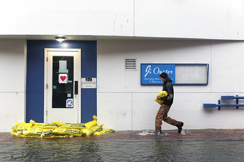
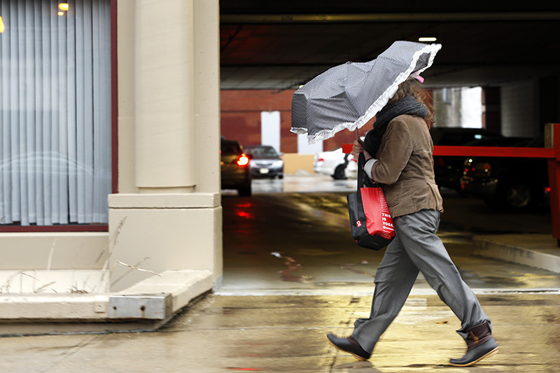
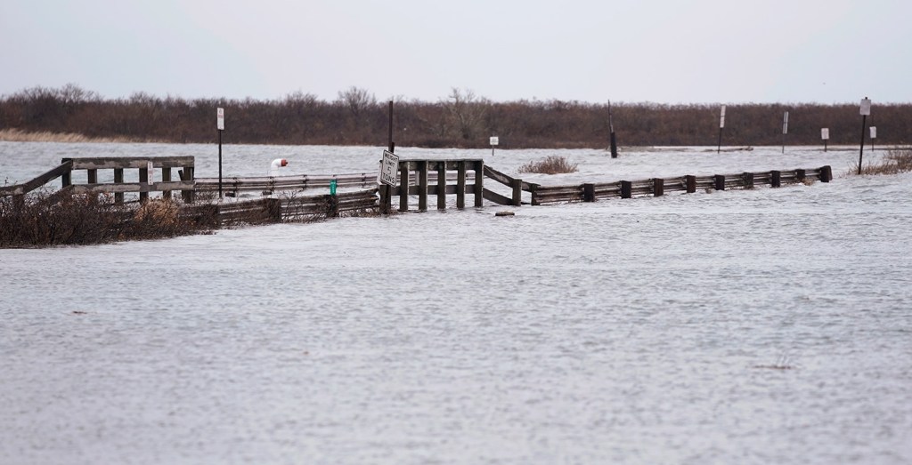
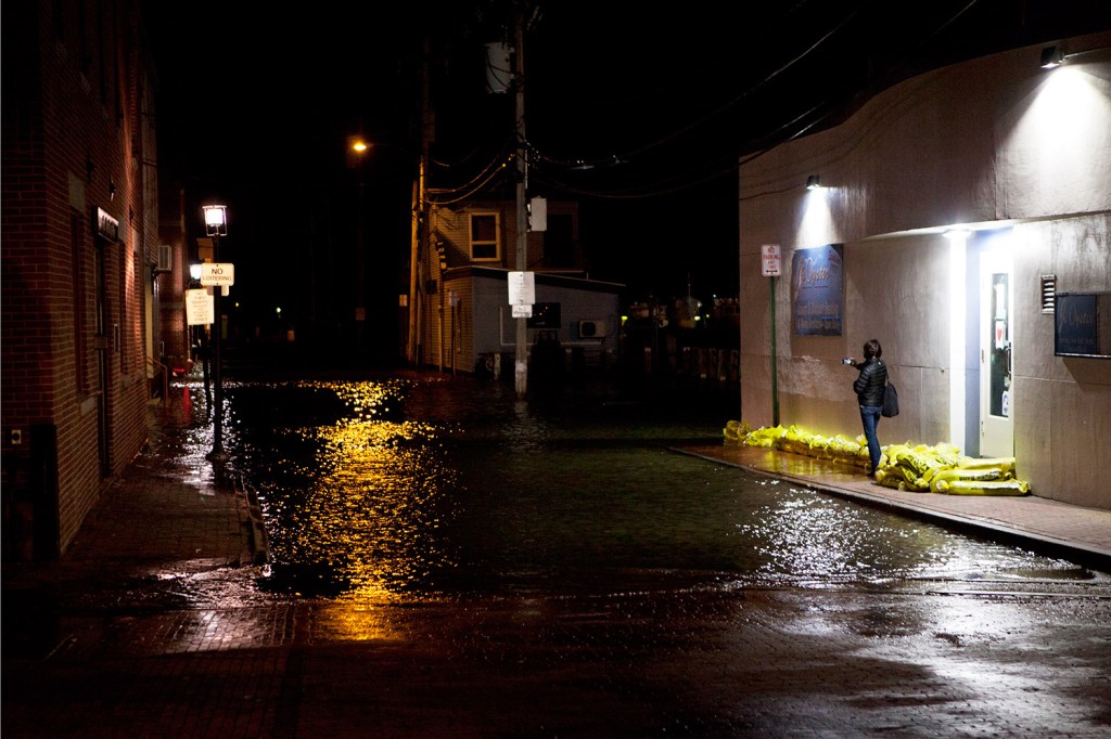
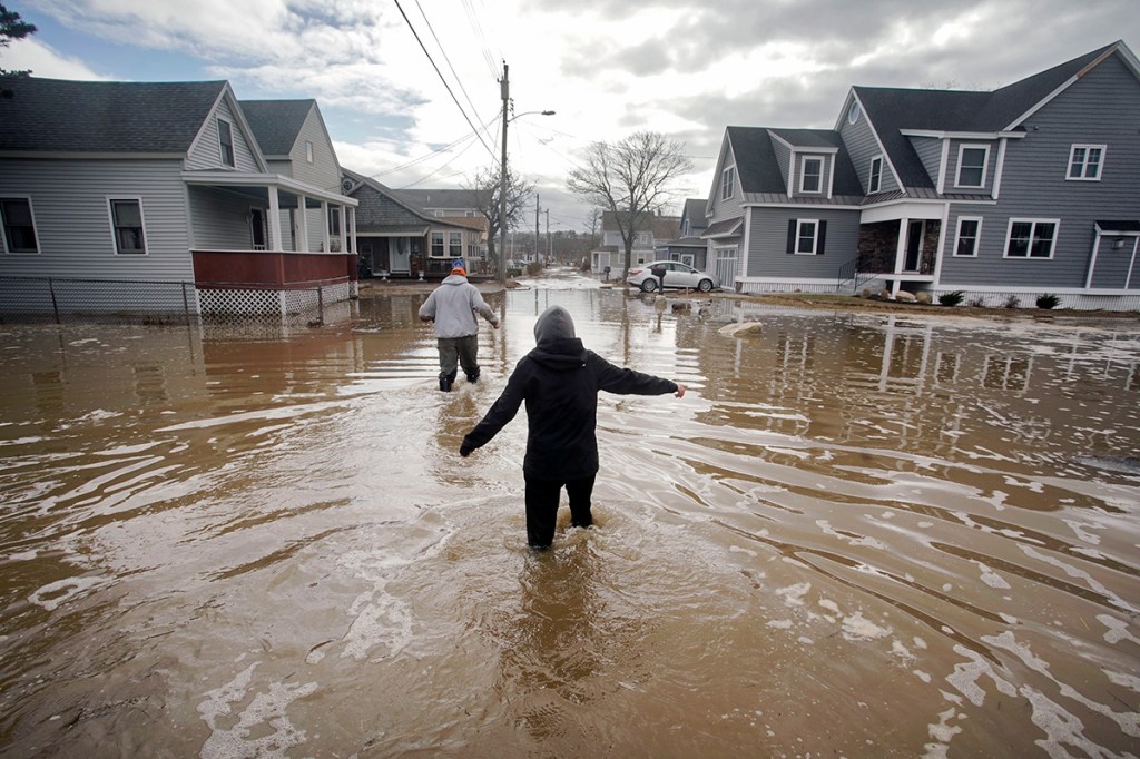
The photos in the above gallery were shot in early March.
High-tide flooding, which can wash water over roads and inundate homes and businesses, is an event that happens once in a great while in coastal areas. But its frequency has rapidly increased in recent years due to sea-level rise. Not just during storms, but increasingly on sunny days, too.
Years ago, the late Margaret Davidson, a coastal programs director at the National Oceanic and Atmospheric Administration, warned it wouldn’t be long until such flooding becomes routine. “Today’s flood will become tomorrow’s high tide,” she said.
A new NOAA report has published startling new projections that affirms Davidson’s warning. Due to sea-level rise, high-tide flooding is already accelerating along many parts of the U.S. coastline, including the mid-Atlantic.
By 2100, the report says, “high tide flooding will occur ‘every other day’ (182 days/year) or more often” even under an “intermediate low scenario” in coastal areas along the East Coast and Gulf of Mexico. This scenario works under the assumption that greenhouse gas emissions – which warm the climate and speed up sea-level rise – are curbed.
For a more aggressive “intermediate” scenario, in which greenhouse gas emissions carry on at today’s pace, high tide flooding is forecast to occur 365 days per year.
In February, scientists published a separate study concluding that they had already detected an acceleration in sea-level rise and that it is likely to speed up more in the coming decades as ice sheets disintegrate and ocean waters expand.
The implications of the steepening sea-level rise on high-tide flooding are already apparent on the ground.
William Sweet, the lead author of the NOAA report, has witnessed an uptick in flooding firsthand. “I moved to Annapolis (Maryland) last year,” he said in an interview. “Since I moved there, I’ve seen six or seven days when waters hit storefronts. What we’re finding is along the East Coast, and the mid-Atlantic in particular, already the flooding is accelerating.”
In just 15 years, the incidence of high-tide flooding in the mid-Atlantic has doubled, from an average of three days per year in 2000 to six in 2015, according to the NOAA report.
“That’s a very important outcome,” Sweet said. “What it means is that the change is not a gradual linear change, but measured in leaps and bounds. By the time you realize there is a flooding issue, impacts will become chronic rather quickly.”
A similar acceleration in coastal flooding has been seen in other locations along the East Coast, including Florida, the Carolinas and in the Northeast.
Practically every time tides are intensified by the lunar cycle in South Florida, media reports show inundation from “sunny day flooding,” which seldom occurred mere decades ago.
This past winter, Boston observed its first and third highest tides in recorded history as nor’easters battered southern New England in January and March.
“The record-breaking event of January 2018 would not have broken the record had it not been for relative sea-level rise that carried the tide and storm surge above the level reached in 1978,” Andrew Kemp, an assistant professor of earth and ocean sciences at Tufts University, told the Boston Globe.
In Maine, Portland’s third-highest tide ever recorded, 13.79 feet, also came during this year’s Jan. 4 storm.
The prospect of high-tide flooding occurring every day or even every other day late this century is difficult to fathom.
Michael Lowry, a visiting scientist at the University Corporation for Atmospheric Research, expressed shock on Twitter after seeing these projections. “It’s hard to overstate the significance of this,” he said. “That isn’t even the intermediate high, high, or extreme scenarios that bring us 365 (days per year) high-tide flooding in my lifetime. It’s crazy.”
Even by 2050, just over 30 years from now, the report projects high-tide flooding will occur between 50 and 250 days per year along the East Coast, depending on the emissions scenario.
“This is such a huge deal,” tweeted Alan Gerard, a division chief at the National Severe Storms Laboratory. “And even the increase by 2040. That’s not that far away.”
Astrid Caldas, a senior climate scientist at the Union of Concerned Scientists who tracks the impacts of sea-level rise, is extremely worried about the projected flooding increases.
“(B)y mid-century, the frequency of this type of ‘minor’ flooding would become so disruptive that business as usual would be practically impossible without significant adaptation measures,” Caldas said. “Without planning for flooding with measures such as protecting, elevating, accommodating the water, or even moving stuff out of the way, the impacts on the cities, their economy, and their residents would be immense.”
She added: “Just imagine seeing streets (and property) flooded every other day. That gives a completely new meaning to the term ‘nuisance flooding.’ Or actually, it completely obliterates the concept, as flooding would become much more than a nuisance, but a rather serious problem requiring significant resources and innovative policies.”
NOAA’s Sweet said informing decision-makers and planners about the escalating flood risk was impetus for the report. “(Floodwaters) getting up to storefronts in Annapolis becomes the new tide (by late this century),” he said. “When you project out that far, the assumption is that society will adapt. That’s the real reason we’re doing this: to inform decision-making so the best science is available to plan accordingly.”
In the D.C. region, significant infrastructure is at risk from rising seas, including assets around the National Mall, the Southwest Waterfront, Old Town Alexandria in Virginia, and Annapolis.
To respond to this risk, an interagency team known as the District of Columbia Silver Jackets formed in 2014. It includes members from regional and federal agencies, such as the D.C. government, U.S. Army Corps of Engineers, National Park Service and National Weather Service, as well as academia.
The team convened a flood summit in 2016, has developed an online flood inundation mapping tool, and conducted a study for vulnerable neighborhoods along Watts Branch, a tributary of the Anacostia River.
“While our team has made great strides in identifying and helping to mitigate flood risk in the region, there is still so much work to be done, including taking a more comprehensive, integrated and regional approach to flood risk management,” the Silver Jackets team said in a statement. “The statistics in this report are staggering, and really hit home on the fact that time is of the essence as we plan for the future and take steps now to ensure our nation’s resources and treasures are not impacted by flooding.”
Caldas stressed global action is needed in addition to local measures to lower the risk of high-tide flooding. “(A)dhering to the commitments of the Paris (climate) Agreement is exceptionally important, because emissions for the next couple of decades, up to mid-century, will define how much sea level rise we will see in the end of the century – and how much tidal flooding we will see: every other day or every day,” she said.
Send questions/comments to the editors.

Success. Please wait for the page to reload. If the page does not reload within 5 seconds, please refresh the page.
Enter your email and password to access comments.
Hi, to comment on stories you must . This profile is in addition to your subscription and website login.
Already have a commenting profile? .
Invalid username/password.
Please check your email to confirm and complete your registration.
Only subscribers are eligible to post comments. Please subscribe or login first for digital access. Here’s why.
Use the form below to reset your password. When you've submitted your account email, we will send an email with a reset code.