


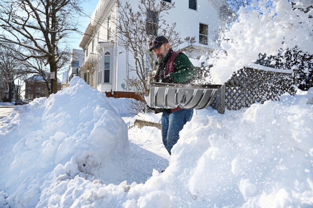
Joe Fazio shovels the sidewalk in front of his home on Quebec Street in Portland on Sunday. Shawn Patrick Ouellette/Staff Photographer Buy this Photo
A fast-moving winter storm raced into the state Saturday night and a few hours later, by the time most Mainers were just getting out of bed, the snow had ended.
The National Weather Service office in Gray said the storm dropped about 6 inches of snow over most of the state, with higher amounts falling in central Maine and the mountains. Rangeley reported 7 inches, The Forks 8 inches, and Waterville 6.8 inches. Snowfall at the Portland International Jetport totaled 5.4 inches.
The storm forced Mainers to spend Sunday morning plowing, shoveling and scraping, but by afternoon most of the major highways had been cleared and travel had returned to normal. The Maine Turnpike Authority lifted its reduced speed limit advisory at 10:45 a.m.
Derek Schroeter, a meteorologist with the National Weather Service, described the texture of the snow that fell overnight as powdery. He said the snow will be great for skiing, but not so good for making a snowman.
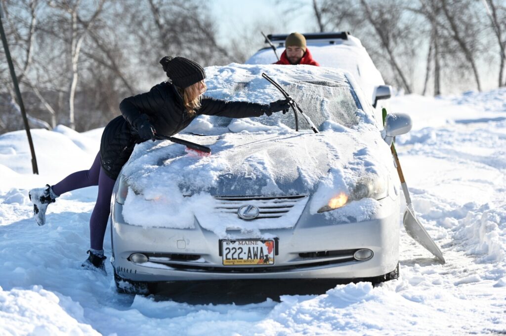
Shelby Cogan of Portland cleans the snow off her car with the help of Eliot Dovin, also of Portland, in the parking lot on the Eastern Promenade on Sunday. Shawn Patrick Ouellette/Staff Photographer Buy this Photo
On its Facebook page, Sunday River ski resort in Newry posted several photographs of skiers slaloming through powdery mounds of snow. “The kind of day dreams are made of,” one post read. Shawnee Peak in Bridgton said on its Facebook page: “What a day! There’s new snow, the sun is shining, and we are getting after it on the Peak.”
Sugarloaf Mountain in Carrabassett Valley posted photographs of skiers swishing through clouds of powdery snow Sunday on its Facebook page, with one post stating: “First powder of the decade. Eight inches of pure blower.” Another post, showing a photo of a downhill skier, noted, “Paradise doesn’t have to be tropical.”
Snowfall amounts varied slightly, with most totals falling in the 6-inch range. The town of York got 6.4 inches, Biddeford 6 inches, Kennebunk 5.8 inches, Raymond 6.3 inches, Sebago 6 inches, Westbrook 5.6 inches, South Portland 5.5 inches, Brunswick 5.6 inches, Wiscasset 6 inches, Bethel 5.5 inches, and Belfast 6 inches.
The highest amounts were recorded in the New Hampshire towns of Bartlett and Berlin, which were blanketed with 9 inches of fresh snow.
The city of Portland on Sunday announced a downtown parking ban that covers the “Yellow Zone” – the area bounded by Cumberland Avenue, Franklin Street, Commercial Street and State Street. The limited parking ban was to begin at 10 p.m. Sunday and end at 6 a.m. Monday.
“The Yellow Zone snow ban is used to allow crews to perform snow hauling following major snowstorms as it is important to clear the narrow downtown streets,” spokeswoman Jessica Grondin said in a news release. Vehicles left on city streets can be towed during the Yellow Zone ban.
Grondin said there are several free parking lot options on the peninsula during a snow ban, but most lots must be vacated by 7 a.m. Most parking garages are also available during snow bans at reduced parking rates. For more information, call the Portland parking ban hotline at 879-0300.
Schroeter said the forecast for the coming week does not include any storms.
“We’re going to have a pretty quiet week,” he predicted.
Schroeter said Monday will start out cold with temperatures in the mid-20s, but it should start to gradually warm up in the Portland area as the week progresses, with temperatures climbing into the middle and upper 30s by Thursday and Friday. The forecast also calls for mostly sunny skies throughout the week.
Copy the Story LinkSend questions/comments to the editors.

Success. Please wait for the page to reload. If the page does not reload within 5 seconds, please refresh the page.
Enter your email and password to access comments.
Hi, to comment on stories you must . This profile is in addition to your subscription and website login.
Already have a commenting profile? .
Invalid username/password.
Please check your email to confirm and complete your registration.
Only subscribers are eligible to post comments. Please subscribe or login first for digital access. Here’s why.
Use the form below to reset your password. When you've submitted your account email, we will send an email with a reset code.