
SACO — On Monday morning, the waters of Saco Bay were so calm it was difficult to imagine why a group of University of New England students were about to launch a souped-up oceanographic buoy dedicated to documenting storm waves.
The glassy sea reflected the wooden underbelly of the Camp Ellis fish pier and the white hulls of its small winter lobster fleet, making it impossible to see what was really happening between the mirror surface and the muddy ocean floor about 50 feet below.
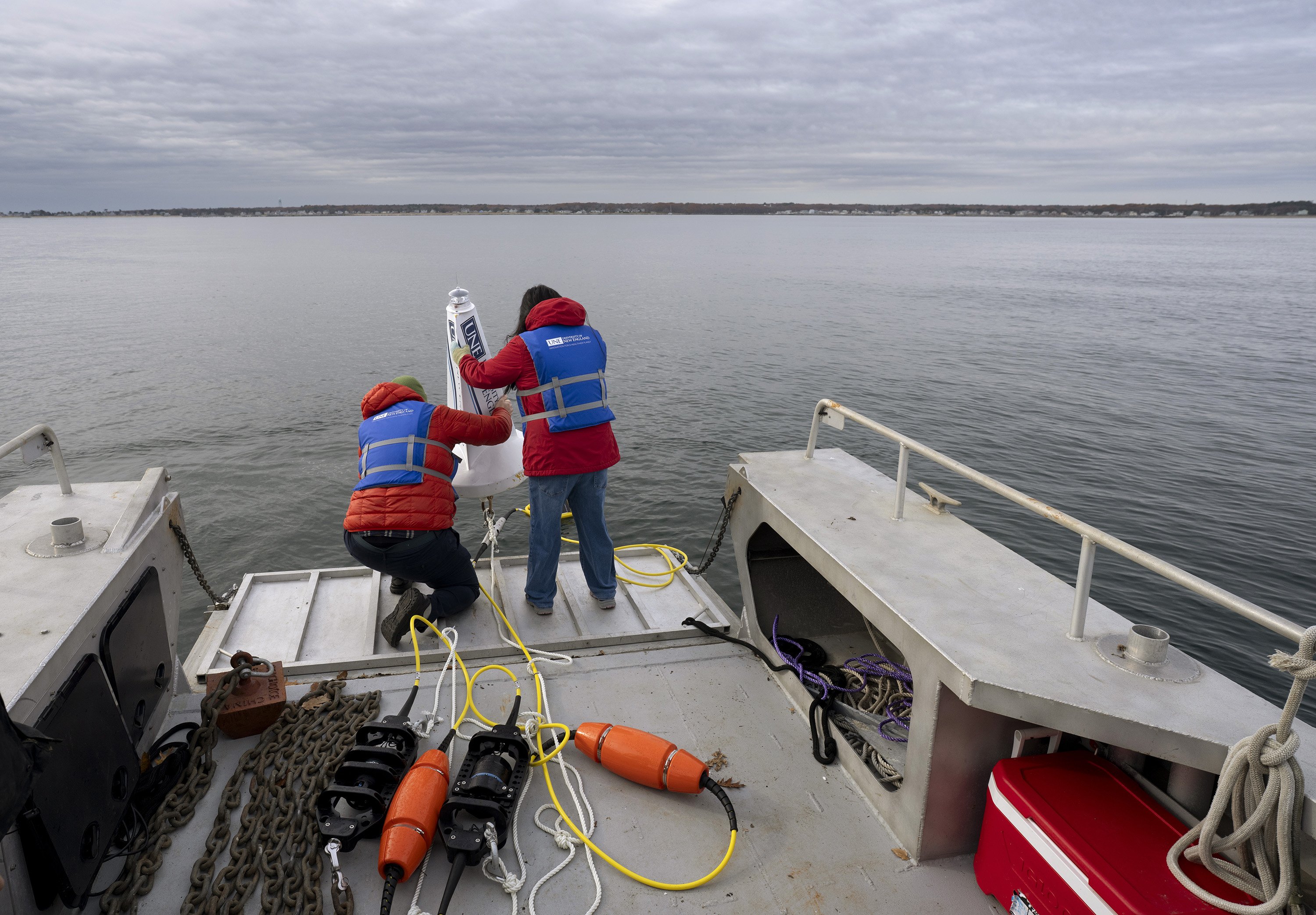
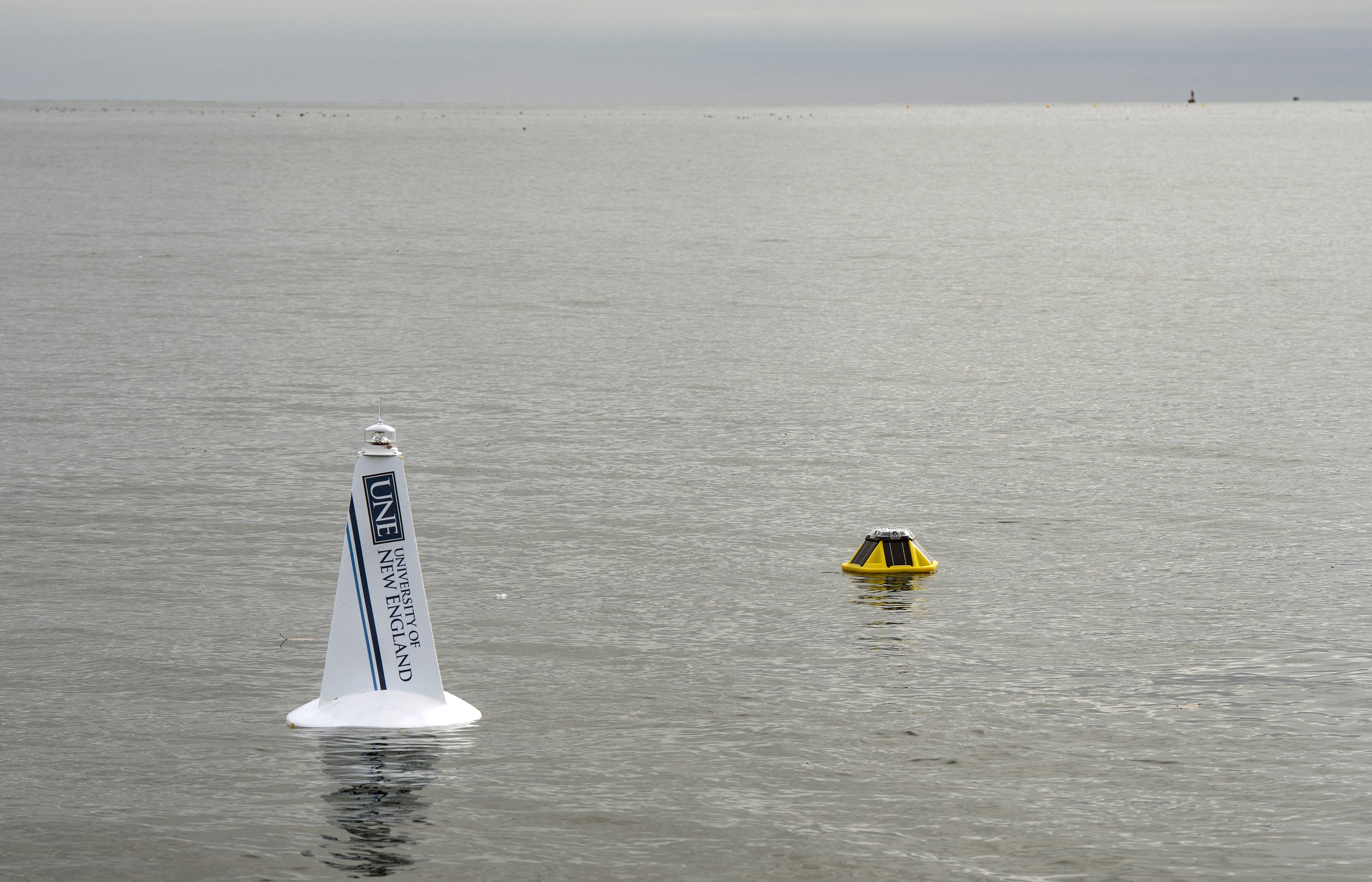
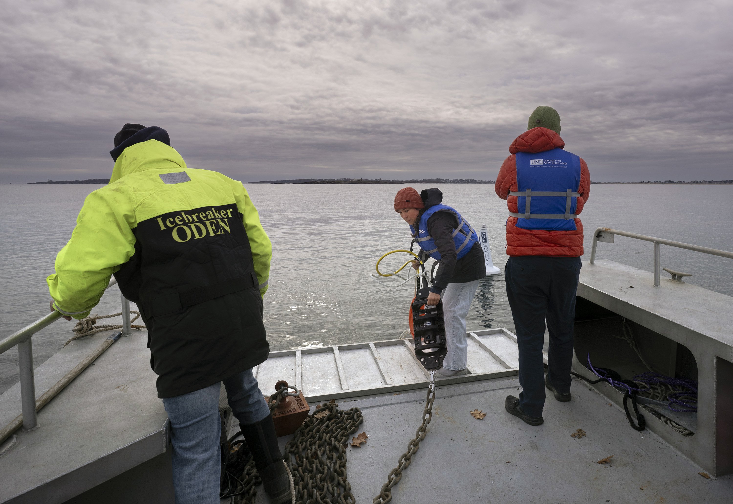
Within minutes of splashdown, however, the buoy had already begun answering that question as it began transmitting wave, wind, temperature, ocean current and dissolved oxygen levels back to the university laboratory for analysis and sharing with the public.
The goal? To help increase coastal resilience in one of the most vulnerable parts of Maine’s coast.
“Camp Ellis is ground zero for sea level rise and coastal erosion in Maine,” said Will Kochtitzky, a UNE marine and environmental programs professor. “The community has been dealing with the problem for longer than anybody else and they need all the help they can get.”
Camp Ellis is home to about 50 year-round residents, a thriving summer community and a small working waterfront where a dozen lobstermen, a small group of tuna fishermen and a half dozen charter boat operations serve as a reminder of the neighborhood’s fishing heritage.
Powerful storms, rising high tides and more than a century’s worth of waves bouncing off the stone jetties built at the mouth of the Saco River to allow ships to reach inland mills have scoured the Camp Ellis beach, washed away roads and destroyed 38 homes in the past 50 years.
After years of wrangling, the Army Corps of Engineers has agreed to build a 750-foot long spur jetty intended to spare Camp Ellis, and to replenish its beach with about 300,000 cubic yards of sand that the neighborhood is keen to protect from future storms.
Saco is using a $1.3 million Maine Infrastructure Adaptation Fund grant to elevate the road that leads into Camp Ellis and replace aging culverts as part of Maine’s statewide effort to enhance coastal resiliency in response to rising sea levels and the increased frequency of coastal storms.
When a storm hits, the size, timing and direction of the wave signals how far up the beach it will go and how much damage it will do to the beach and dunes, to coastal infrastructure like seawalls and roads, and beachfront homes and businesses, Kochtitzky said.
The Gulf of Maine already has a network of oceanographic buoys that monitor waves, but these buoys are located offshore in deeper waters, he said. The nearest one to Camp Ellis is 10 nautical miles northeast, five nautical miles off Twin Lights State Park in Cape Elizabeth.
While a federal buoy costs about a half-million dollars, UNE’s commercial SOFAR spotter buoy is a small, solar-powered buoy that costs about $15,000, with an extra $10,000 of gear Kochtitzky tacked on for other university departments that wanted to collect marine data.
It was so affordable that Kochtitzky has found the funding to deploy a second one off Biddeford Pool. He hopes to build a statewide network of nearshore oceanographic buoys to gather real-time storm data that can be used for long-term resiliency planning.
Camden Harbor partnered with Northeastern University to deploy a similar wave buoy in 2023.
Localized data will help communities better prepare for individual storms and, over time, decide which coastal defenses work best for the kind of storm waves they are most likely to see, Kochtitzk said. What works at Twin Lights will not necessarily work for Camp Ellis, he said.
The buoy fills a significant knowledge gap and will likely improve local storm forecasting, said David Plavin, a Camp Ellis beachfront resident and a leader of Save Our Shores Saco Bay, a nonprofit advocacy group created to address local coastal erosion and sea-level rise.
“Now we have a buoy pin in Saco Bay which will give us highly relevant data, especially in Camp Ellis where it is most needed,” Plavin said, who lost his patio in a 2024 winter storm. “We can all be wiser and make more informed decisions as we fight the effects of coastal erosion.”
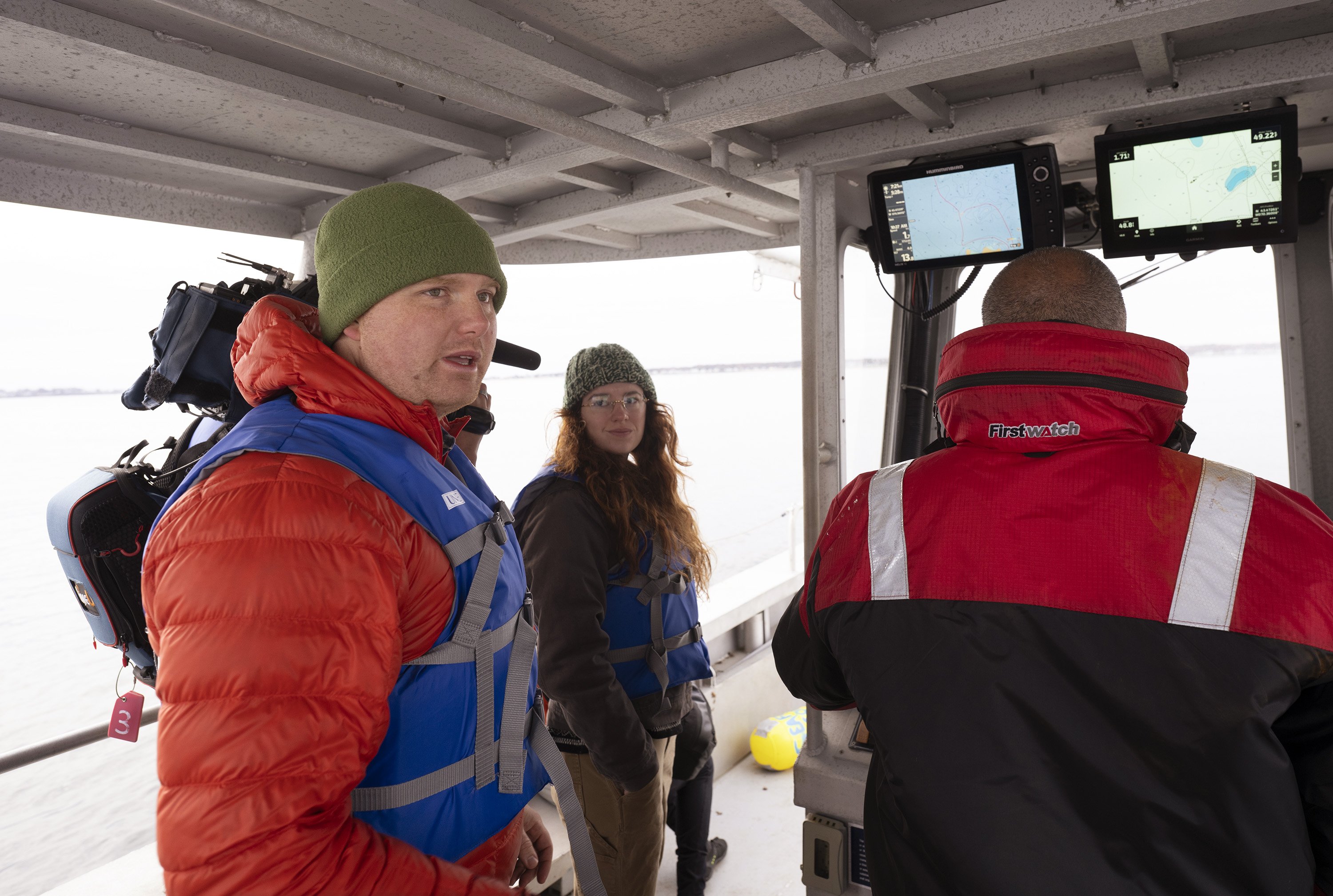
For UNE students, the buoy project is a chance to get hands-on experience with data collection while helping the local community survive climate change, which they think will be the biggest challenge of their generation.
“This research is meaningful,” said Elizabeth O’Brien, a freshman marine science major from Maryland. “With climate change, extreme weather is just a part of life, but it’s the world we’re living in, so we need to learn how to work with it, and maybe even how to fix it.”
We invite you to add your comments. We encourage a thoughtful exchange of ideas and information on this website. By joining the conversation, you are agreeing to our commenting policy and terms of use. More information is found on our FAQs. You can update your screen name on the member's center.
Comments are managed by our staff during regular business hours Monday through Friday as well as limited hours on Saturday and Sunday. Comments held for moderation outside of those hours may take longer to approve.
Join the Conversation
Please sign into your CentralMaine.com account to participate in conversations below. If you do not have an account, you can register or subscribe. Questions? Please see our FAQs.