
Three northern Maine communities broke temperature records Tuesday even as winter was preparing to mount a comeback, the National Weather Service said.
Bangor’s high of 70 degrees Tuesday marked the earliest in the year the area has seen such a high temperature since data there began being recorded in 1925, according to the weather service’s office in Caribou. The previous record was 76 degrees on March 18, 2012.
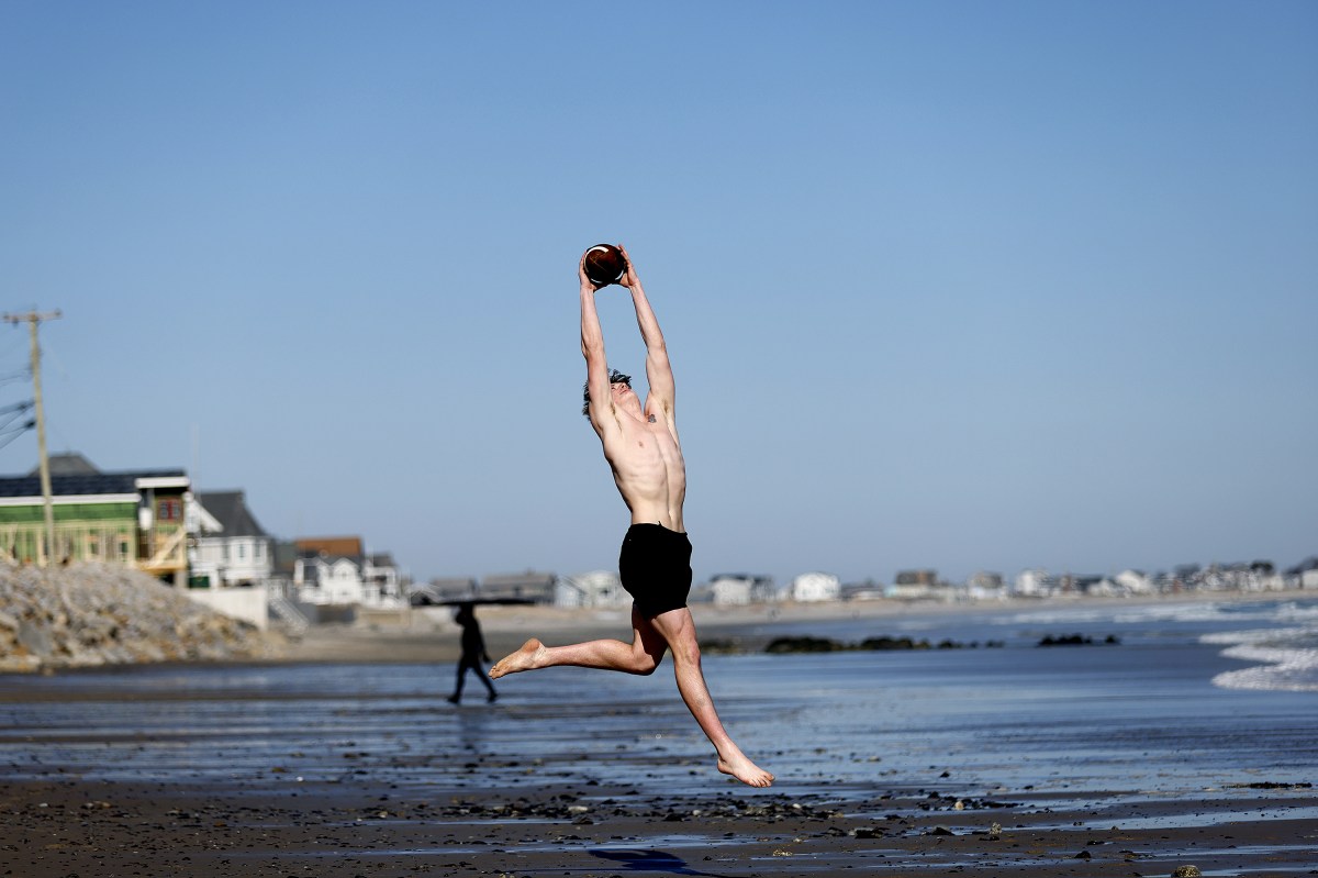
Millinocket, which recorded a high of 70 degrees, and Houlton, with a high of 64, also broke similar records for their communities, according to the Caribou office. Even those who didn’t break records reveled in the warmth, with much of Aroostook County breaking through the 50-degree barrier.
Many southern and central Maine communities saw temperatures above 70 degrees on Tuesday, including a high of 72 degrees in the areas of Augusta and Auburn, and 75 degrees in Buxton, according to weather service data.
Coastal communities settled for temperatures in the mid-to-high 60s on Tuesday, according to the weather service, such as the high of 66 degrees recorded at the Portland International Jetport.
Angela LaFlash, a meteorologist at the weather service’s Caribou office, said the warm air had to travel across the country in order to reach Maine.
“It’s a big upper-level trough that has been piping warm air from down towards Mexico all the way up to the Northeast,” LaFlash said in an interview Tuesday evening.
However, that’s also going to be responsible for some wintry precipitation in northern and interior Maine. LaFlash explained that an area of low-pressure is moving into the area and will put the moisture created by the warmth to use.
LaFlash said the wintry weather is expected to impact a large swath of the state to varying degrees.
The weather service placed much of Maine under advisories and warnings lasting through Wednesday. A winter weather advisory is in place for Oxford, Franklin and Somerset Counties, as well as for southern Piscatquis and Penobscot Counties, and northern Washington County. All areas north fall under a winter storm warning.
Counties falling under the winter storm warning are likely to see the most snow, as much as 6 to 8 inches in the northernmost communities, the weather service said.
LaFlash expects totals to gradually fall the farther south one is. For instance, central Aroostook County is expected to receive 3 to 4 inches, she said.
“By the time you get to Bangor, they might see about a half inch of snow,”
But what those communities lack in snow, they can expect to make up for in other forms of wintry precipitation. Sleet is expected to be widespread, LaFlash said, and freezing rain could plague areas of higher elevation.
The weather service’s Gray office said the wintry weather is expected to stick to the north and west, but warned on Tuesday that a small shift could bring some of that precipitation to the Augusta region.
LaFlash emphasized that the roads across northern and western Maine will likely be slick.
“A lot of the roads aren’t treated right now,” LaFlash said. “Some of that ice and sleet and snow is going to make driving pretty dangerous.”
We invite you to add your comments. We encourage a thoughtful exchange of ideas and information on this website. By joining the conversation, you are agreeing to our commenting policy and terms of use. More information is found on our FAQs. You can update your screen name on the member's center.
Comments are managed by our staff during regular business hours Monday through Friday as well as limited hours on Saturday and Sunday. Comments held for moderation outside of those hours may take longer to approve.
Join the Conversation
Please sign into your CentralMaine.com account to participate in conversations below. If you do not have an account, you can register or subscribe. Questions? Please see our FAQs.