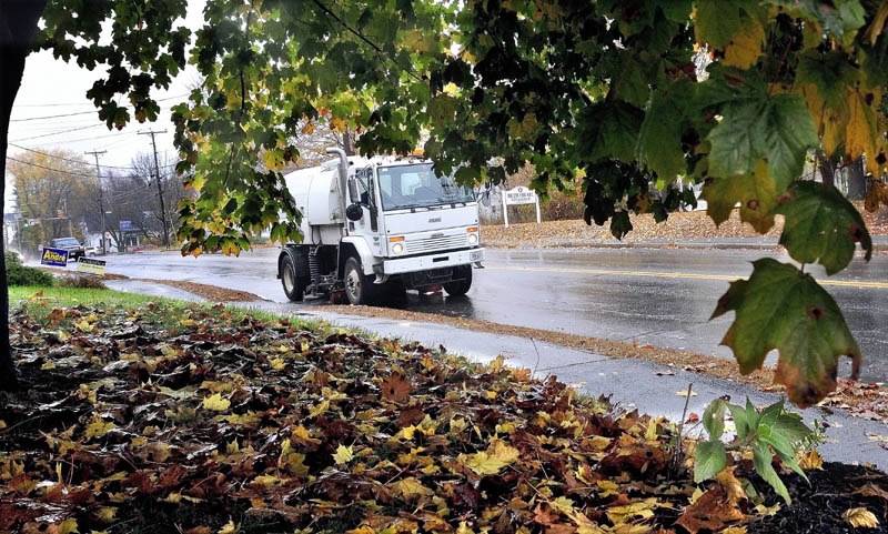
Emergency management officials and power company crews were ready Monday for whatever Hurricane Sandy was going to throw their way — heavy rain, strong wind, downed trees and power outages.
Wind warnings and flood watches were posted by the National Weather Service for Kennebec, Franklin and Somerset counties through 8 a.m. today.
Classes were canceled today in Vassalboro, Waterville and Winslow by district officials in Alternative Organizational Structure 92. Officials in other school districts said they will wait to see what conditions prevail before making a decision on closing school for the day.
Central Maine Power Co. called in extra crews from New Brunswick company spokesman John Carroll said.
Carroll said the company’s first priority will be to repair damaged equipment so roads can be cleared in the event of downed trees and power lines. Electrical service restoration will come later, he said.
“We’re ready — everybody in our company is mobilized. We started the day with a safety briefing,” Carroll said Monday afternoon as Maine residents watched the storm intensify to the south. “We’re brought in almost double the number of crews were would normally have. Normally we have 90 to 95 crews; we brought in another 90 crews.”
Carroll said the company is warning its customers to make preparations for the possibility of multiday outages as strong wind is expected along the coast and toward the mountains and foothills above 1,500 feet.
If outages occur, the company urges customers to call its toll-free outage hotline: 1-800-696-1000.
Meteorologist Margaret Curtis, at the weather service’s Gray office, said one to three inches of rain could fall by the time the storm turns to showers later today. Minor local flooding could occur in small streams and brooks.
Light rain could continue into Thursday, she said.
“In central Maine, we’re really just looking at a very windy, rainy day with some power outages, maybe a bit worse than your typical October rain storm, but nothing like they are seeing in New Jersey,” said. “We’re in the warm air and not expecting any snow.”
Curtis said she didn’t expect the Kennebec River to reach flood stage. The biggest issue facing the state as day breaks today will be the affects of high wind, she said.
Mike Smith, emergency management director in Somerset County, said extra people were on duty Monday. He said the county emergency operations center and the radio communications center were switched to generator power to prevent power gaps in the case of widespread outages.
“The highest winds in the projection are probably going to be (today) at about 2 a.m.,” Smith said. “They are saying 30 or 40 mph with possible gusts to 50 and above. At least, this time of year, most of the leaves are off the trees so it takes some of the weight off of them. I’m in hopes we won’t get hit quite as hard as we would if there was heavy foliage, but the chief concern is still power outages.”
Smith said the warnings have been extended from southern Somerset all the way up to West Forks as a precaution.
Emergency management officials in Franklin and Kennebec counties said they are waiting, watching and bracing for the worst.
Arthur Churchill, an operations technician at the Kennebec County Emergency Management office, said county officials were in touch with state emergency management officials for updates on the storm all day Monday.
Local emergency directors also have been contacted, town by town, he said.
“We’ll have crews available if the situation changes during the night,” Churchill said. “As conditions change, we’ll bring on additional staff.”
Churchill said the Maine Emergency Management Agency has scheduled a statewide update on the storm for 9 a.m. today.
Maine Emergency Management Agency Director Robert McAleer on Monday said the state’s emergency response team will monitor the storm overnight.
Emergency officials expect the greatest impact to be felt in the southern part of the state, he said, and the biggest concern for Maine is power outages.
Tim Hardy, emergency management director in Franklin County, said he and his team were watching the weather updates as they were coming in and preparing for any change in the storm’s path. He said he planned to staff the Franklin county office throughout the night Monday and into this morning.
“We’re trying to look down the road today — I’m just going to take it one hour at a time,” Hardy said. “We’ve got everything in place if we need to activate people. Better to be ready if we’re not needed than to get caught the other way.”
Farmington Town Manager Richard Davis said members of the town fire department will be checking the Sandy River’s bank to monitor an ongoing erosion problem that threatens heavily traveled Whittier Road.
A 50-foot-wide, 300-foot-long section of the riverbank collapsed into the water near the Pillsbury Sand Bar during Tropical Storm Irene last August.
If heavy rains or surging waters in the river seem to be threatening the road, Davis said that the town is prepared to close it on a moment’s notice.
“We’ve got barricades down there, ready to go,” Davis said.
He also said that, in an effort to prepare for the excess water, the town’s public works department has been fighting to clear leaves from sewer catch basins.
“They’ve done what they can,” he said. “Of course, with the wind and the rain it doesn’t take long for the leaves to come right back.”
Doug Harlow — 612-2367
dharlow@centralmaine.com
Staff reporters Matt Hongoltz-Hetling and Paul Koenig contributed to this report.
Copy the Story LinkSend questions/comments to the editors.


Success. Please wait for the page to reload. If the page does not reload within 5 seconds, please refresh the page.
Enter your email and password to access comments.
Hi, to comment on stories you must . This profile is in addition to your subscription and website login.
Already have a commenting profile? .
Invalid username/password.
Please check your email to confirm and complete your registration.
Only subscribers are eligible to post comments. Please subscribe or login first for digital access. Here’s why.
Use the form below to reset your password. When you've submitted your account email, we will send an email with a reset code.