

AUGUSTA — The longer Maine’s freeze persists, the higher the risk for spring flooding in communities along the Kennebec River, a state commission heard Thursday.
Maine’s flood risk is normal over the next two weeks, but above average in the long term, officials told the River Flow Advisory Commission, a body made up of federal, state and university employees, at the Maine Emergency Management Agency’s headquarters in north Augusta.
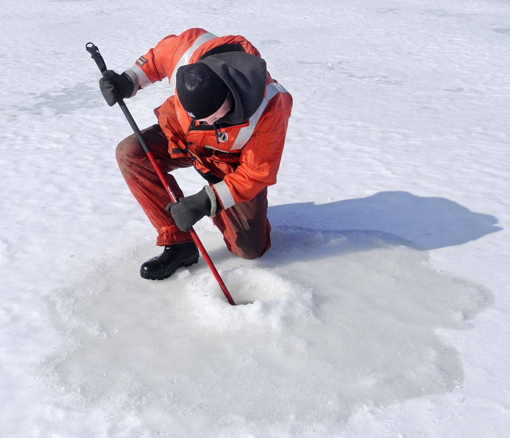
Additional Photos
“Right now, we’re kind of in a waiting game to see how the weather plays out,” said Shawn Howard, interim fire chief in Skowhegan at Thursday’s meeting.
Temperatures are expected to be mostly below freezing over the next two weeks, not allowing snow and ice to melt much, said Tom Hawley, hydrologist at the National Weather Service’s Gray office. After that, he said, a melt could come, a reason why future flood risk is elevated.
Still, the cold temperatures are allowing new ice to form on Maine water bodies, a rarity this time of year, said Greg Stewart, the Augusta-based data section chief at the U.S. Geological Survey. A worst-case scenario, he said, could occur more than two weeks from now, when temperatures could warm and thaw thick ice quickly in some areas.
“We’re watching specifically for quick warmups where it’s going to turn the snow pack to ripe conditions,” Stewart said.
The commission meets annually as spring approaches to assess flood risk. Lynette Miller, a spokeswoman for the Maine Emergency Management Agency, said while its members keep constantly in touch this time of year, they could convene again in the coming weeks because of the tenuous situation.
The National Weather Service’s seven-day forecast for Augusta says temperatures will go above freezing on Saturday and Monday, but lows remain well below freezing, including overnight Thursday, when the low temperature was expected to be below zero.
Northern Maine should remain frozen for another month, officials said, so melting could first affect the state’s coastal, southern and western areas. Hawley and Stewart said no particular areas are at a higher risk at this point.
But certain areas along the Kennebec River, for example, are particularly prone to flooding. The worst recent case was in 2010, when a mile-long ice jam flooded low-lying areas in Augusta and Hallowell, sending icy water into streets, lots and basements.
Earlier in the week on the Kennebec River, Stewart said the ice there ranged from 1 to 1.6 feet at spots between Richmond and Dresden, normal for this time of year. Still, he said ice jam flooding is a particular concern this year because the new ice is forming.
Hallowell Fire Chief Mike Grant, also a training officer for the Maine Emergency Management Agency, said his volunteer department has to be ready for flooding along the river each year and is, with good notification systems in place and good communication between police and fire officials.
“Nine times out of 10, nature takes care of things,” Grant said. “Every now and again, you get that combination of weather events.”
Michael Shepherd — 370-7652 mshepherd@centralmaine.com Twitter: @mikeshepherdme@mikeshepherdme
Send questions/comments to the editors.

Comments are no longer available on this story