
When I was a child and my family traveled, my parents would always get a TripTik from the American Automobile Association. This booklet of maps displayed a human-created (by a AAA employee) route that we were to follow to our destination. The roads were highlighted in color, and “speed traps” and major construction projects were noted.
I enjoyed lying in the back of our station wagon, reviewing the maps and waiting for my expertise to be called upon. Usually we were headed to Florida from Massachusetts. Since Interstate 95 had not yet been completed, we had to take some secondary roads through the southern states, which was why we needed the TripTik. My father would generally know the way, but, every so often, he would shout, “Left or right?”
Thus my career as a navigator began. When my husband, Paul, and I moved to Maine in 1986, we were ready to explore with our Delorme Maine atlas. I was especially intrigued by the boat landings that seemed to be reachable only via winding dirt roads.
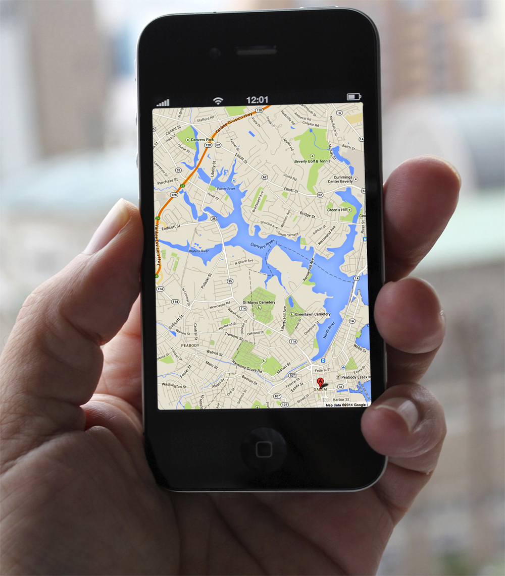
Fast forward to 2014. I desperately wanted to see an exhibit of British painter J.M.W. Turner’s work at the Peabody Essex Museum in Salem, Mass. We had the opportunity to do so en route to visiting friends in West Springfield, Mass. But time was short, and I knew it wasn’t easy to reach downtown Salem from the interstate. First you had to get on Route 128, and no one who has grown up in Massachusetts ever wants to do that. Then you headed toward Gloucester and … then what?
I knew we’d never be able to carry off this side trip unless I had the route down pat. So I plugged the necessary information into Google Maps and waited as a stream of directions flowed onto the screen. Two and a half hours from Augusta. It was doable. All I’d have to do is let Lady Magellan (as I like to think of her) do the talking from my iPhone to guide Paul to the museum.
All went well until we reached the outskirts of Salem. Turn left, turn right, go over the bridge … Paul was losing patience. “This can’t be the quickest way there.”
I pointed to the signs for the museum, which we seemed to be following by default. “Why would the museum want to send people all over town?” I didn’t tell him there were actually 11 turns on this part of the route.
He wasn’t buying it. “If there are more than three more turns, you’re driving.” Whoa. Tough talk!
I knew this was an idle threat, as I was holding my iPhone and could see we were just about there. Then I saw a big Turner banner hanging in front of a building. A parking garage was virtually next door. “Park there,” I squealed, but Paul hates parking garages and was headed down the street.
It quickly became obvious that the garage was our best bet. Lady M “rerouted” us and sent us back around several corners, through a maze of one-way streets, and we were finally there.
Except — I led us the wrong way out of the garage on foot. The museum was nowhere to be seen. I tried to contact Lady M, but I wasn’t getting a signal. Paul was studying a street map for tourists that was posted on a board in a pedestrian square, and he finally figured out where we were.
Despite all this fuss, we had plenty of time to enjoy the exhibit. Now we had to extricate ourselves from Salem and get to the western part of the state. For some reason, I couldn’t get Lady M to realize we were done with the museum. Though she gave me directions for getting to West Springfield — once on 128, we had to go south in order to go west, which seemed counterintuitive, but which we knew was right — she verbally continued to direct me to Essex Street. “Turn right,” she’d say, prompting Paul to grumble, “What?”
“No, keep going, just ignore her.” Traffic was heavy, and I feared getting stuck going the wrong way. Did we really just pass the Witch Museum twice?
By pressing a lot of Xs to close-down screens, I finally got Lady M to focus on our next destination. We had more fun with GPS the next day, however, when our friends took us into the Berkshires. Their personal navigator kept trying to send us home before we were ready. After every “wrong” turn, she announced she was “rerouting.” Did we only imagine that we heard frustration in her voice? I don’t think so.
The next day, Paul and I stopped in Kennebunkport for lunch as we headed back to Augusta. He decided he wanted to stay on Route 1 until we reached 295. Route 1? In summer? Really? Really.
Lady M was appalled. No matter how I tried to reconfigure her, she kept telling us to take three side streets to reverse direction and get onto the turnpike. This went on for 10 miles, until we reached Biddeford.
Road construction. Traffic stoppages. And, the coup de grâce, a detour.
A classic case of “you can’t get there from here.”
Lady M might have been saying “I told you so,” but I had finally turned her off. Darn know-it-all.
Liz Soares welcomes email at [email protected].
Comments are no longer available on this story