

Just as driveways, sidewalks and roofs are finally getting cleared of snow in central Maine, another possible 10 inches is on the way through Monday into Tuesday, according to the National Weather Service in Gray.
The weather service says while snow won’t be heavy, the continual snowfall and accumulation over the next two days will result in slippery roads and other problems associated with the snow buildup.
Additional Images
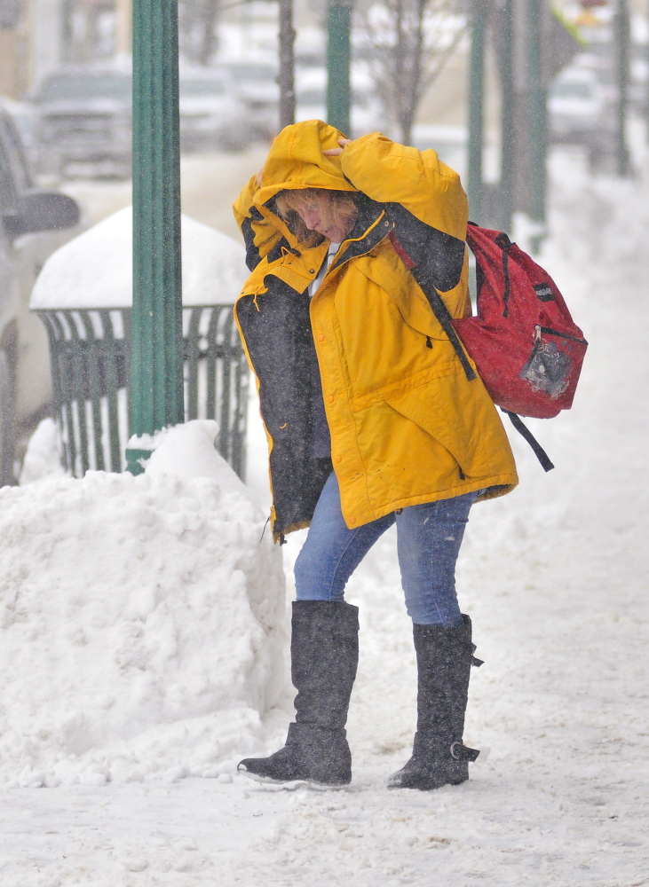
The latest weather service alert Saturday afternoon called it a “long duration snow event” that will start Saturday afternoon and contunue into Monday night or early Tuesday, with the heaviest snow expected Sunday night and Monday.
Overall, six inches is expected in the Augusta-Waterville areas, but up to 10 could fall in some places.
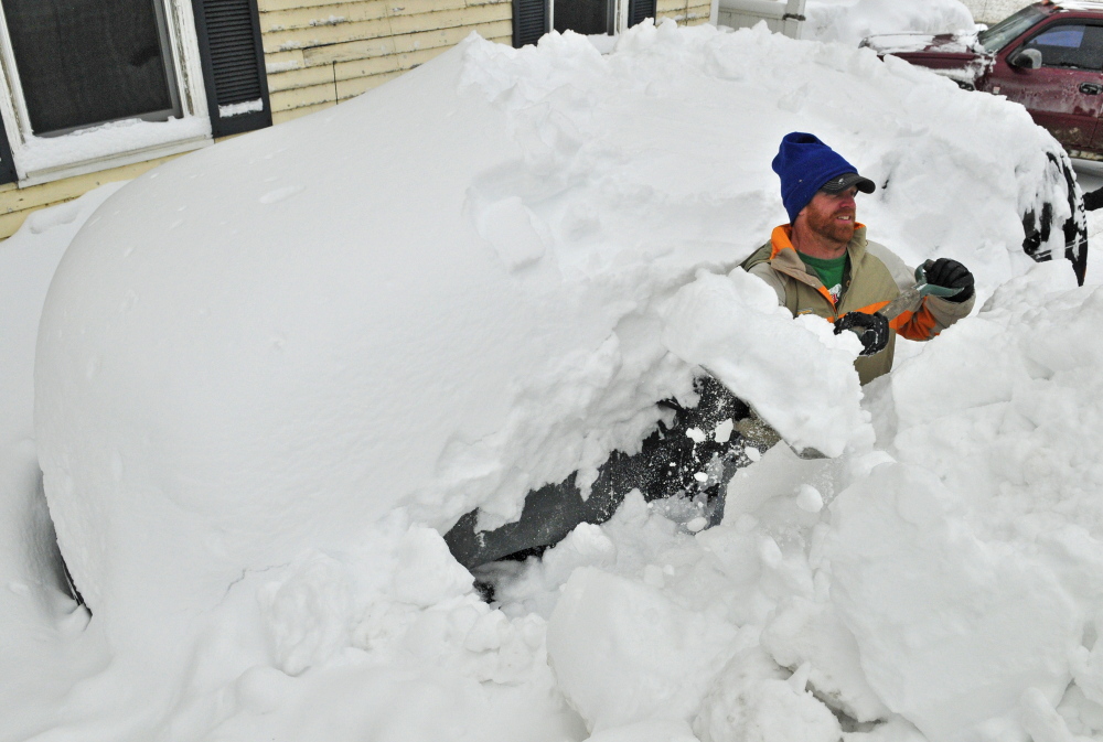
That’s on top of the estimated 40 inches of snowfall that’s already come down in the Augusta and Waterville area in 2015.
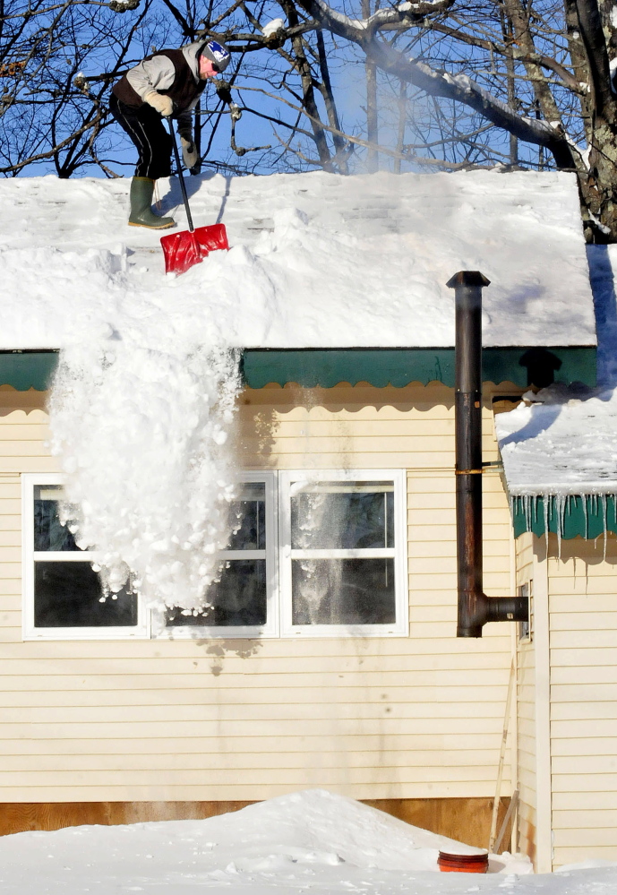
“Roads will become snow-covered and slippery,” the weather service warning says. “Additional snow will continue to add weight to any heavily snow-covered roofs.”
Temperatures are expected to reach the high teens for the next several days, with lows in the single digits. Then, toward the end of next week, temperatures are predicted to plummet.
“We’re not going to get the really, really cold stuff until Valentine’s Day,” NWS meterologist Mike Ekster said Friday. “By Friday the 13th, we should have highs in the single digits and lows close to 20 below.”
Copy the Story LinkSend questions/comments to the editors.

Success. Please wait for the page to reload. If the page does not reload within 5 seconds, please refresh the page.
Enter your email and password to access comments.
Hi, to comment on stories you must . This profile is in addition to your subscription and website login.
Already have a commenting profile? .
Invalid username/password.
Please check your email to confirm and complete your registration.
Only subscribers are eligible to post comments. Please subscribe or login first for digital access. Here’s why.
Use the form below to reset your password. When you've submitted your account email, we will send an email with a reset code.