AUGUSTA — There is no short-term risk of river flooding in Maine this spring, but a large snowpack expected to remain into late March could heighten that risk later, a state commission learned on Thursday.
The next two weeks should be cold, but rivers and streams in central, coastal and southern Maine will be at an above-normal risk of flooding around March’s end, forecasters said at the annual meeting of the River Flow Advisory Commission, a group of state, federal, local and other officials monitoring spring flood risk.
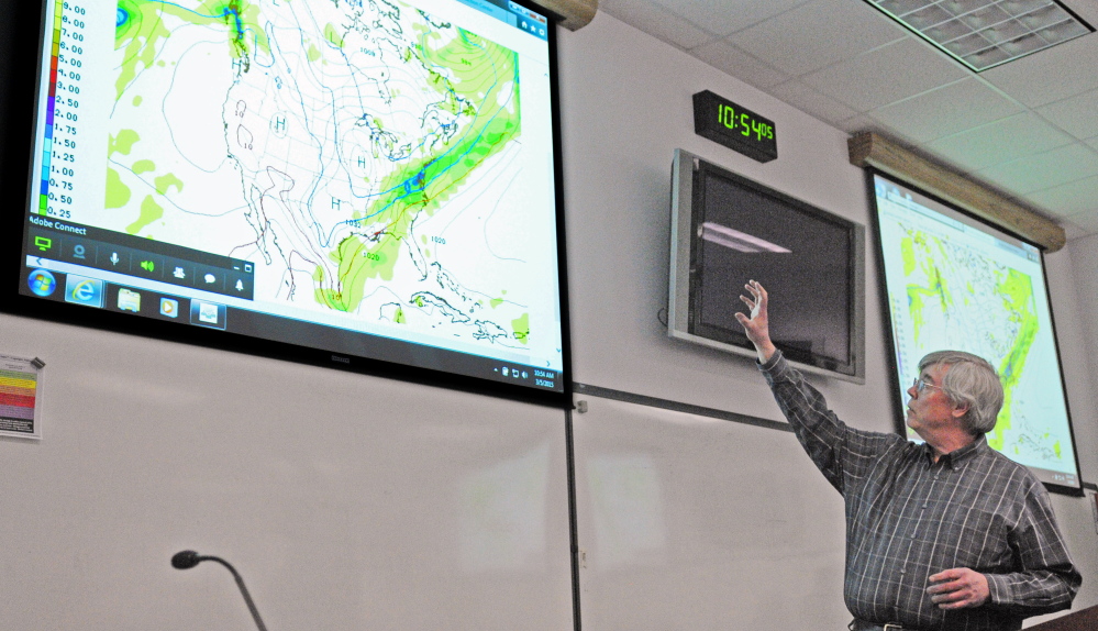
Tom Hawley, a hydrologist for the National Weather Service in Gray, said models show late March could warm with possible rainfall, which is the driving factor for flooding.
Complicating matters is Maine’s large snowpack. Augusta has had 85 inches of snow this winter with 18 to 36 inches on the ground in most places. The commission says snow depths are “dramatically above normal” for this time of the year in several communities.
“The later into the spring you go with a large snowpack, the greater the chances of a rapid warm-up with rainfall,” Hawley said.
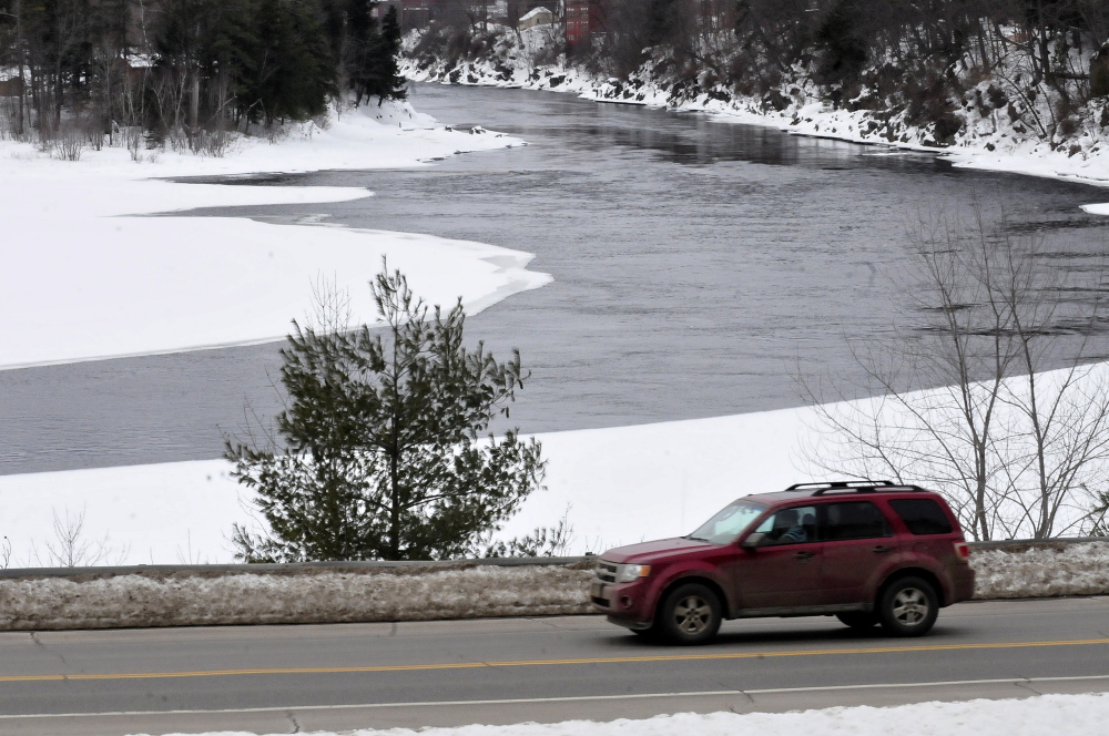
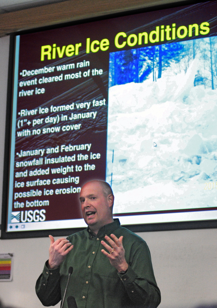
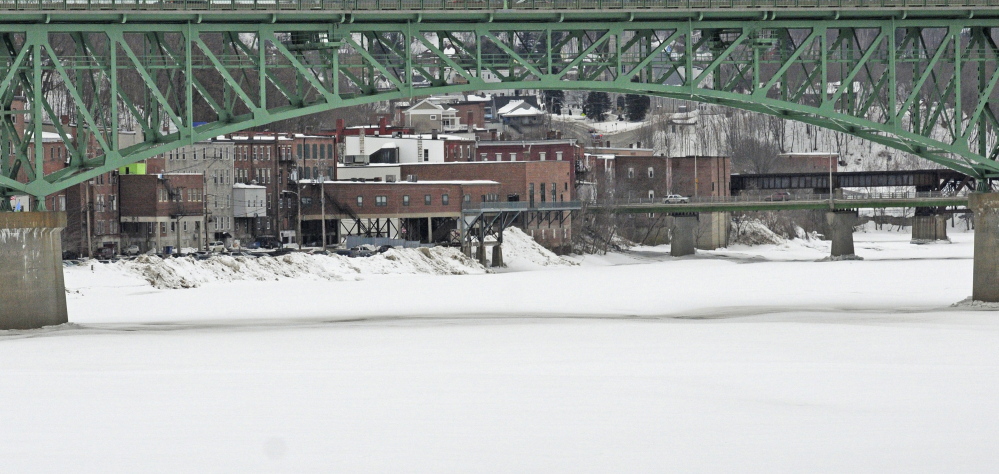
On the Kennebec River around Augusta, there is 10 to 20 inches of ice, which is normal, said Gregory Stewart, data section chief for the U.S. Geological Survey in Augusta.
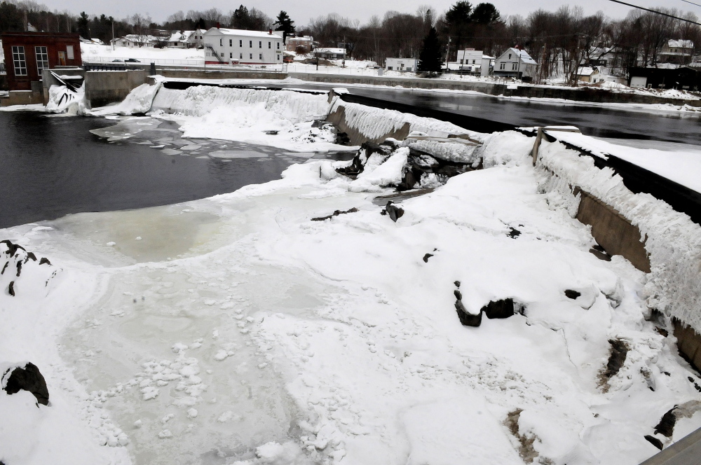
However, there are two particular risks locally: an ice jam that’s been on the river in Madison since January near the confluence with the Carrabassett River and the new Richmond-Dresden bridge, which could cause a jam.
The Madison jam caused flooding leading up to River Road, but water has receded since then, said Michael Smith, director of the Somerset County Emergency Management Agency. Now snow has obscured it, and he said his office remains in a holding pattern until it can assess how the weather will warm into March’s end. The National Weather Service predicts that over the next two weeks temperatures will be in the “normal range” with chances of light precipitation.
Stewart said ice also is building around the piers of the new Maine Kennebec Bridge linking Richmond and Dresden, which could pose a risk for jams later on. The new bridge is 115 feet above the old Richmond-Dresden bridge, which hasn’t been taken down yet.
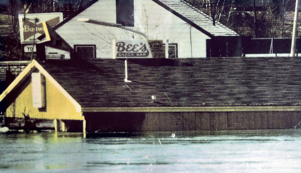
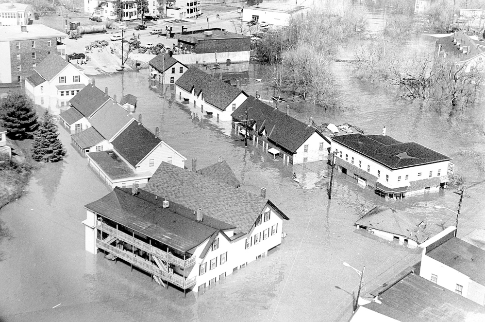
Stewart harkened back to the flood of 1936 on the Kennebec River from Augusta to Richmond, which was caused by ice jams around the old bridge, saying those added piers create “more obstacles that are going to stay in place if the ice starts moving.”
Maine State Geologist Robert Marvinney said coastal and Down East Maine have a higher-than-average level of water content with some of Maine’s densest snow in Cumberland and York counties and along other parts of the coast. But it’s early, and while there’s a heavy snowpack, Hawley said, there will have to be significant rainfall for flooding to be a major factor.
Perhaps no place in Maine is affected by river flooding as much as Hallowell, whose downtown is deeply set in a flood plain. Police Chief Eric Nason, the city’s emergency management director, said he’s hoping for a slow melt with little precipitation into April.
If that doesn’t happen, he said the city is ready.
“We’ve been doing this for so many years that the business owners have prepared very well for these types of events,” he said, “because sometimes we deal with these issues half a dozen times a spring.”
Michael Shepherd — 370-7652
Twitter: @mikeshepherdme
Send questions/comments to the editors.





Success. Please wait for the page to reload. If the page does not reload within 5 seconds, please refresh the page.
Enter your email and password to access comments.
Hi, to comment on stories you must . This profile is in addition to your subscription and website login.
Already have a commenting profile? .
Invalid username/password.
Please check your email to confirm and complete your registration.
Only subscribers are eligible to post comments. Please subscribe or login first for digital access. Here’s why.
Use the form below to reset your password. When you've submitted your account email, we will send an email with a reset code.