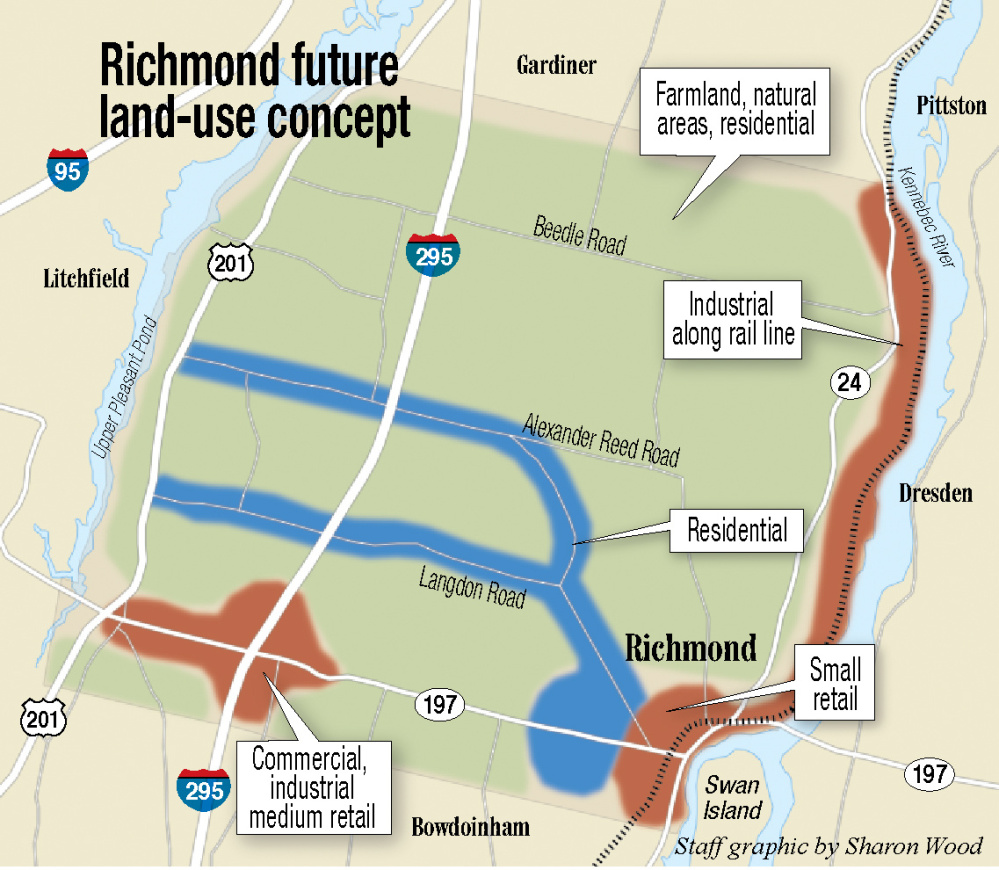
RICHMOND — The town map now making the rounds in Richmond may raise some eyebrows, and town officials are hoping it raises some interest in shaping future land-use decisions.
Bold colors outline the areas of town where residential, industrial, commercial and agricultural or open spaces may be encouraged to go once Richmond finishes updating its comprehensive plan, a document that guides town officials in planning and policy decisions.
“It doesn’t look tremendously different from what we have now,” Victoria Boundy, Richmond’s community and economic development director, said. “We’re creating these conceptual bubbles where we’d like to encourage development.”
In its current incarnation, industrial and retail uses would be encouraged along the Kennebec River and in the village, respectively. Commercial uses would be concentrated around the interchange on I-295, and residential development would happen along the main thoroughfares. The balance of that land would be considered farmland or natural areas where residential development is possible.
The map is the result of input gathered at a workshop in October. A second workshop, scheduled for 6:30-8 p.m. Tuesday at the Marcia Buker Elementary School at 28 High St., offers residents another chance to help shape the town’s development.
Selectboard Chairman Peter Warner, who is also on the Comprehensive Plan Committee, said he hopes more people will turn out for the second session.
If only a few residents give input, Warner said, the plan will reflect only a narrow consensus.
“It’s so important to have that input,” he said. “If you don’t like the current land-use ordinance, or you have strong feelings about what’s being proposed, this is the time to say. This is the time to say no to big box stores or no to strip clubs or whatever.”
Warner said the guidance in the current land-use ordinance is vague, stating only that land uses must be complementary to the zoning.
Warner said the Family Dollar Store and Downeast Credit Union meet that standard. They are commercial uses that complement the residential area they are in.
“But you don’t want an iron smelting plant in a residential neighborhood,” he said. “If someone does come to town with an industrial use, where would you encourage that to go?”
Boundy said those discussions will help shape “a future land-use map to show where we want to see development.”
The results of this planning process have some very real consequences. South of Richmond on I-295 sits Topsham with a well-developed commercial corridor along the highway, the product of plans put into place years ago.
“Every town needs a commercial area,” Warner said. “You can’t pay for everything on residential property taxes.”
More houses increase the demand for town services like schools, police, fire and roads, he said.
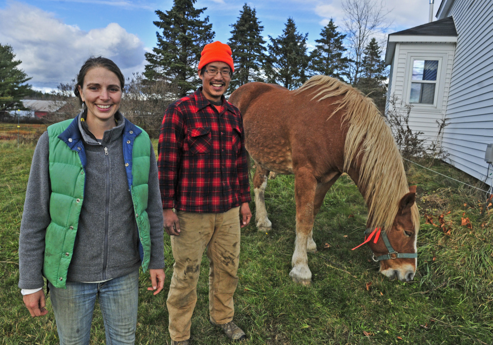
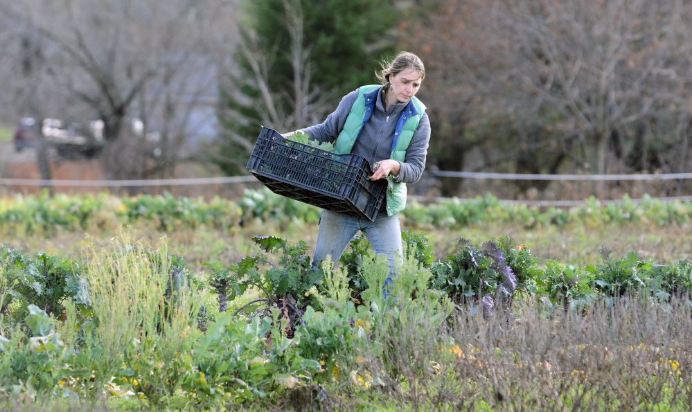
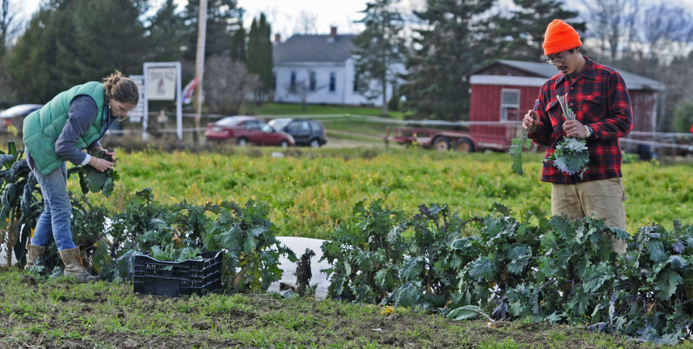
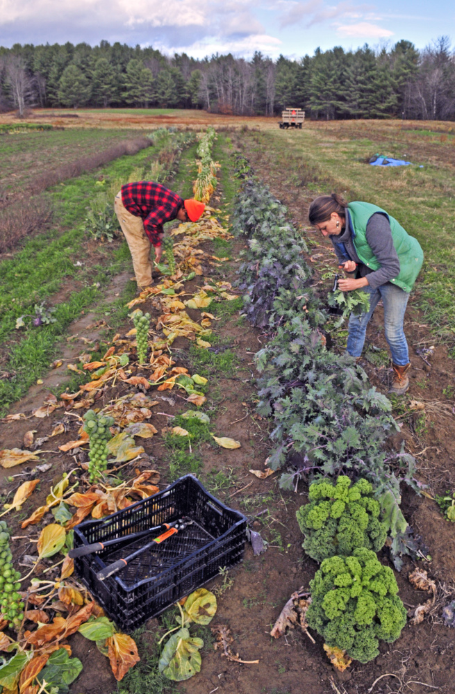
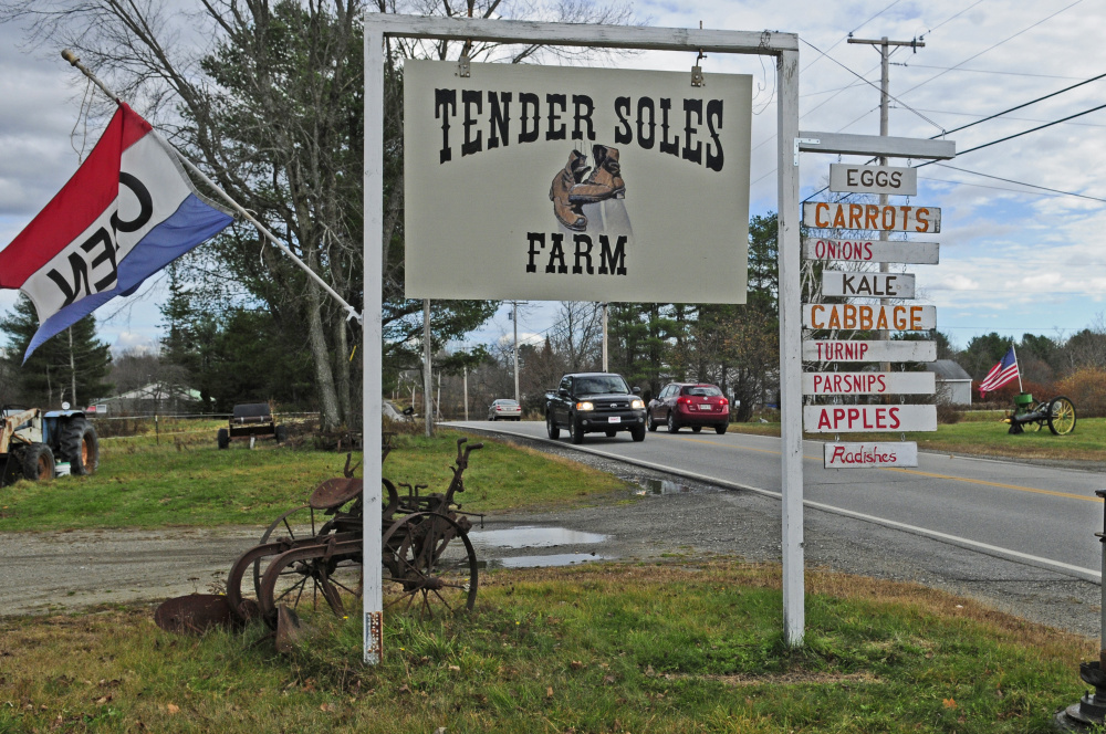
Land use is on the mind of Kate Del Vecchio. Del Vecchio and her partner, Rich Lee, moved to Richmond in January to start Tender Soles Farm, where they grow mixed vegetables using the power of their draft horses.
“The price was right and the timing was right, ” Del Vecchio said. She grew up in Whitefield, but she hadn’t spent much time in Richmond. Even so, they knew they didn’t want to be more than 20 or 30 miles from Whitefield, where she has connections. They were also looking for a place where Lee, an educator, could work with a school, bringing students to the farm and the farm into the school.
“It seemed to make sense to go to these meetings,” she said. “We wanted to learn how the town’s priorities fit with us. They seem to be receptive to the idea of preserving farmland.”
That’s important because Del Vecchio and Lee are already looking for additional land to lease for pasture and hay.
As Del Vecchio and Lee were looking at land to buy, she said, they realized how valuable and expensive agricultural land is and how often that same land is prized by residential developers.
“We wanted to make sure that was talked about, and it seemed like there was agreement on preserving open space,” she said. “People like the visual aspect of farmland, and they want to support a local business.”
Most of the other chapters in the comprehensive plan have been drafted, Boundy said. When this section is done, it will be added to the document. It’s slated to go for state review in early 2016 as required by the state’s Growth Management Act, and it will go before town voters on June 7.
Jessica Lowell — 621-5632
Twitter: @JLowellKJ
Copy the Story LinkSend questions/comments to the editors.




Success. Please wait for the page to reload. If the page does not reload within 5 seconds, please refresh the page.
Enter your email and password to access comments.
Hi, to comment on stories you must . This profile is in addition to your subscription and website login.
Already have a commenting profile? .
Invalid username/password.
Please check your email to confirm and complete your registration.
Only subscribers are eligible to post comments. Please subscribe or login first for digital access. Here’s why.
Use the form below to reset your password. When you've submitted your account email, we will send an email with a reset code.