

As is typical in the summer, some of you saw a heavy thunderstorm yesterday afternoon or evening before cooler air arrived overnight. There was even some embedded hail, at times reaching severe criteria, over an inch in diameter.
Strong winds in Livermore Falls took down some trees and heavy rain rolled through Greater Portland a few times during the day as the storms crossed.
Today the risk for showers is basically zero in nearly all of southern Maine. However, over extreme southern York County we have a risk for pop-up storms. The difference today is the energy which would create any thunderstorms is moving south of Maine across southern New England. Therefore there isn’t a mechanism to create the storms. You will see some clouds pop-up, but that’s about it. Over York County and the New Hampshire seacoast, I don’t expect any of these to reach severe levels, but there could be some small hail. Hail which is under an inch in diameter is not considered to be part of a severe storm.

Today’s NWS Gray Overview
You’ll certainly notice it being much cooler and drier without humidity. This pattern is going to continue through the rest of the week and into the weekend. Highs tomorrow and Friday will stay in the 60s. If you are in a shaded area it might actually feel quite cool.
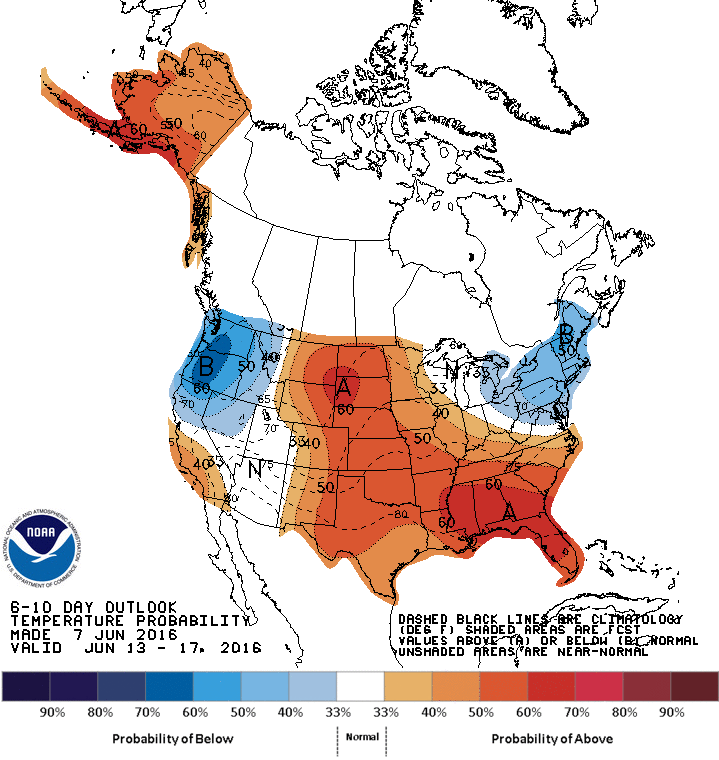
Temperature Outlook through June 17th
The sun is at its strongest levels of the year, so even though temperatures aren’t forecast to be warm, you can still get easily sun burned.
The weekend looks quite to start with abundant sunshine on Saturday. Another weather system brings a chance of showers and cool weather for Sunday, that won’t be a good beach day if you are planning your activities early.
Send questions/comments to the editors.

Comments are no longer available on this story