KENNEBUNKPORT — Tom Bradbury is a patient man. Four decades of conservation work taught him it pays to be patient when you’re trying to cobble together a long-distance trail.
“The nice thing about doing things that will be forever is that it gives you a lot of time to work things out. There is some land I’ve waited 40 years to get,” Bradbury said.
Since becoming the Kennebunkport Conservation Trust’s president in 1979, Bradbury, now its executive director, has worked to conserve 2,300 acres in his hometown, including 20 miles of trails. Most recently, he pieced together the trust’s second long-distance trail, which is 4 miles long.
So this September, the trust’s trail stewards named the newest 1.4-mile trail after Bradbury. It’s a short walk from the Cape Porpoise market he ran for years, before he left the family store to lead the trust.
“Because of Tom’s vision 10 years ago, this has been possible,” said Bud Danis, one of the trust’s volunteer trail stewards.
In southern Maine, only the Eastern Trail that runs virtually uninterrupted from South Portland to Kennebunk and the trail network in the 13,000-acre Mt. Agamenticus region have longer trails, said Paul Schumacher, the executive director of the Southern Maine Planning and Development Commission.
“You look at some property maps, and connecting two land trust parcels that are a mile apart might mean dozens of landowners. It’s harder in southern Maine because there is so much development,” Schumacher said.
“It’s something that land trusts have become more interested in. They’re not just about purchasing property for wildlife and conservation. Recreation is becoming a bigger part of the mission.”
The two long-distance trails Bradbury has worked to connect are not loop trails within the woods of Kennebunkport. They are linear trails that lead from one part of the coastal town’s farm and forestland to another.
The Smith Preserve has a 5.8-mile trail. The Cape Porpoise Greenbelt trail that was completed this fall has a 4-mile linear woods path that starts a block away from this harbor village and runs through the woods uninterrupted to the trust’s headquarters several miles away, crossing only one paved road.
The trust uses three maps to show the Cape Porpoise Greenbelt. That’s because the 4-mile path is part of three different but interconnecting trail networks across three preserves.
“In 2008, we sat down and started talking about it,” Danis said. “We looked at existing trails and what we thought was reasonable to try to acquire to complete a trail system. When we look back now on the original vision, it’s held pretty true.”
Every Tuesday, Danis and trail master Dave Jourdan meet with other volunteers on the trail crew. Danis and Jordan help orchestrate the trail development. Danis said they see no reason to hire a trail steward. They know these woods intimately.
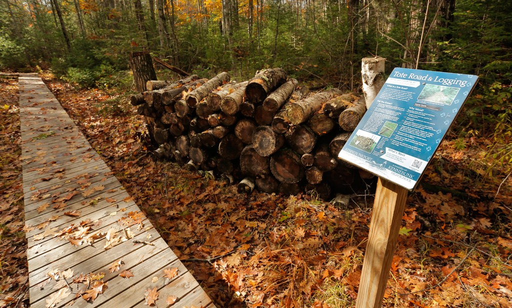
Earlier this month, as they walked the Cape Porpoise Greenbelt trail with Bradbury, Danis pointed out the rolling nature of the forest here, and how it rises in places. The 325-acre protected forestland the Bradbury Trail runs through was quiet of traffic. Along the trail, not a house can be seen.
They hiked the 13 bridges they helped build this fall, including one that is 40 feet long.
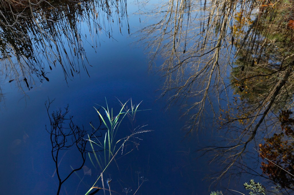
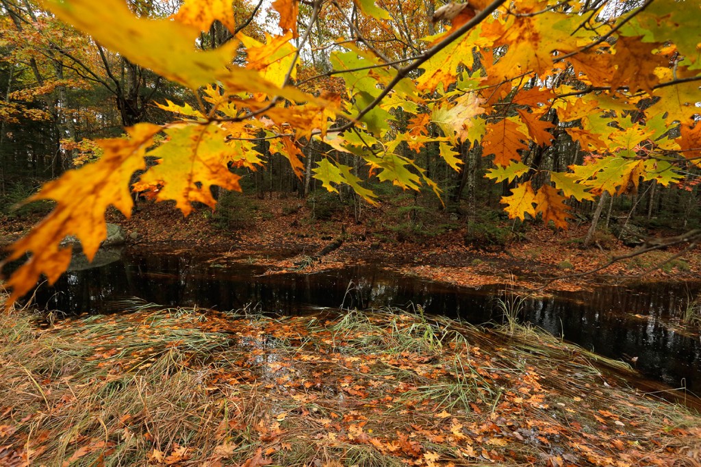
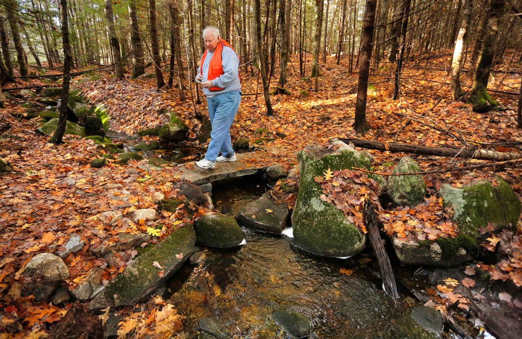
Over a small creek in the woods, a primitive stone bridge presented a different pathway over this waterway. Danis stopped here and said the bridge was his idea, a gift to the trust. He had a local stonemason build the stone-slab bridge fashioned with a moss-covered cobblestone walkway to offer something different, something to celebrate.
The Tyler Brook Preserve has been open to the public since the 1980s, but the addition of the Cape Porpoise Greenbelt Preserve on the side leading to the coast extends the 2.5 miles of trail here another 1.5 miles.
The Tyler Brook Preserve was once the homestead of John Tyler, who lived here between 1730 and 1740 in a house rumored to be built against a large rock face. As Bradbury walked past enormous boulders two weeks ago, he wondered aloud if any of these were the wall to the homestead.
He brought an archaeologist into the area years ago and found where Tyler used a kiln to make the bricks for his home. But Bradbury still wonders where the house was built.
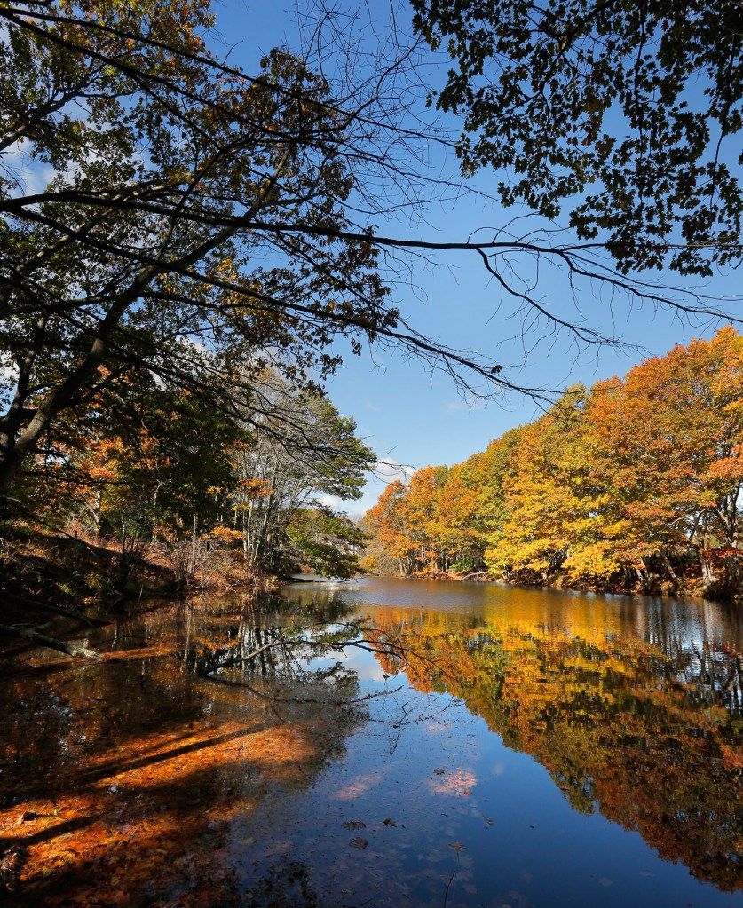
The long-distance trail also runs through fields along the Batson River and past a family cemetery that dates to the 1800s.
Bradbury, 65, loves the history. And it’s obvious hiking with him why he’s worked to preserve it. “We ask children to look past what it is now and consider what it was when there were fields and pastures. Use your imagination,” Bradbury said.”Who was here in the early 1700s and 1600s?”
Send questions/comments to the editors.



Success. Please wait for the page to reload. If the page does not reload within 5 seconds, please refresh the page.
Enter your email and password to access comments.
Hi, to comment on stories you must . This profile is in addition to your subscription and website login.
Already have a commenting profile? .
Invalid username/password.
Please check your email to confirm and complete your registration.
Only subscribers are eligible to post comments. Please subscribe or login first for digital access. Here’s why.
Use the form below to reset your password. When you've submitted your account email, we will send an email with a reset code.