


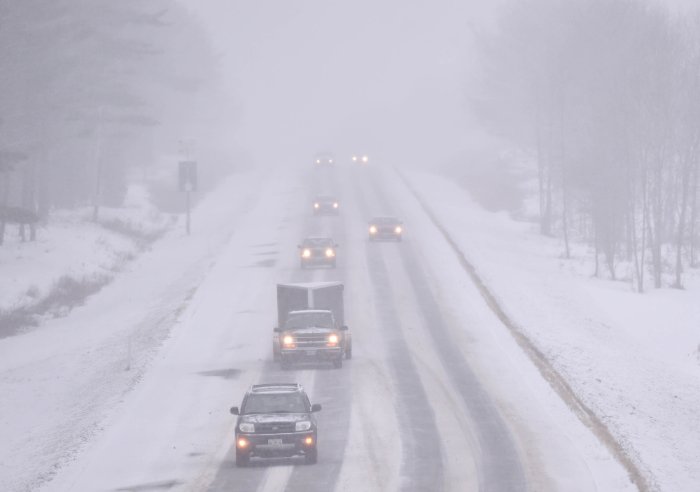
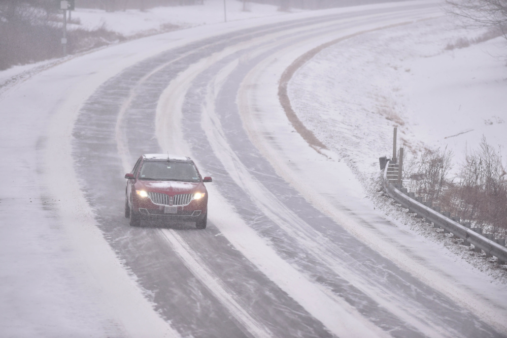


As the season’s first nor’easter swept across Maine on Thursday, forecasts called for warmer temperature, rain and lower predicted snowfall amounts in some areas of central Maine.
At the National Weather Service office in Gray, meteorologist James Brown said 5 to 8 inches is predicted in the Augusta/Waterville area as the storm winds down Friday morning, with greater amounts expected north and west to Skowhegan and Farmington. The rain-snow line also was expected to creep farther inland than initially thought — that was the case in Belfast by late afternoon — and the farther west the warm air travels, the better the chance of a switchover from snow to rain, Brown said.


Another weather service meteorologist, Chris Kimble, said Thursday evening that Waterville probably would be the northern extent of where the rain-snow line will reach. But he said if that line didn’t make it, the area could be blanketed by “well more than a foot” of snow — exceeding the 5-to-8-inches forecast.
With heavy, wet snow, the chance for downed trees and power lines also increases.
“The storm is actually going to move up through about Boothbay or so and straight north through Maine and right up into Canada, and that means anything to the east is going to probably get a pretty good surge of warm air, changing things over pretty far inland,” Brown said.
The weather service was predicting 12 to 20 inches of snow in the Farmington area, with 10 to 13 inches possible in the Skowhegan area and most of Somerset County. The snow started in central Maine just after noon Thursday, leaving about 2 inches in Kennebec County areas after a few hours, and was expected to intensify rapidly overnight.
A winter storm warning was in effect for central Maine until Friday morning. In anticipation of the season’s first big storm, Central Maine Power Co. is offering a link to the forecast office for a statewide view of storm warnings and advisories.
“The other problem that’s going to happen is we’re going to see cold air flow in behind the system, with some snow in behind it during the early morning hours Friday after that changeover occurs,” Brown said.
Wind gusts could reach 20 to 30 mph away from the coast, Brown said.
CMP spokesman John Carroll said crews were bracing for the worst and reinforcements were called in from Canada, Connecticut and New York state. They were prepared to hit the ground running at 5 a.m. Friday, he said.
“The forecast that we’ve seen is really for a mixed bag, so several aspects of it will be difficult,” Carroll said. “There’s going to be a band of some pretty wet, heavy snow, and that is going to cause problems with trees and limbs. Along the coast we’re also expecting some pretty high winds — gusts into the 50s.”
Deep snow and high wind in central Maine also will be challenging, he said.
Carroll said 100 CMP crews are ready to go at daybreak Friday, with 125 contract crews from Quebec, New Brunswick, New York and Connecticut also ready to be dispatched to problem areas. About 100 tree crews also are standing by for duty. Carroll said CMP serves about 610,000 business and residential customers from the New Hampshire border in York and Cumberland counties, up to Bucksport, Bangor and across to Jackman and the rest of Somerset and Franklin counties.
He said in the event of power outages, customers can go to the company’s website and sign up for outage alerts either by text, by email or by phone. There also is an “outage central” link on the website for up-to-the-minute information about power outages and estimated restoration times.
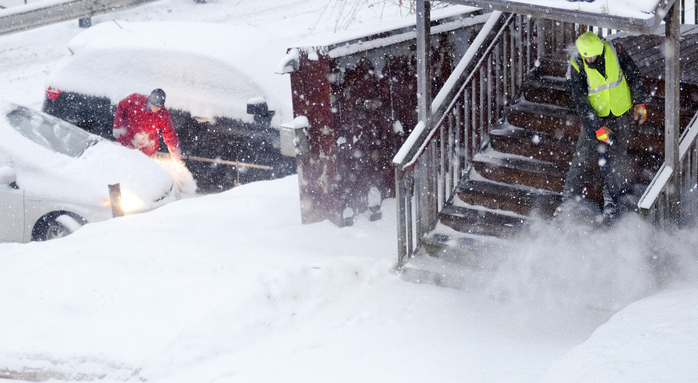
In Waterville, Mark Turner, director of public works, said his 13 trucks and crews went on duty at 7 a.m. Thursday preparing for whatever the storm throws at them.
“The rain and snow line is going to be right on us, but I think we’re going to end up with the majority of it being snow and mix,” Turner said. “We’re ready with our trucks right now, all loaded and ready to go, and we’re probably going to be plowing and sanding.”
Turner said his department will have a crew of 18 to 20 people, with some on the ground clearing sidewalks and other areas downtown and mechanics who will be on duty all night.
“We’ll stay right through the night if we have to,” he said.
At the Department of Public Works in Augusta, Director Lesley Jones said updated weather forecasts are showing the storm could end up being all snow in the capital city by the time it winds down Friday.
Jones said her department has about 40 employees with 21 plow routes for 350 lane miles of road and another 150 miles of sidewalks.
“We have about 10 people out now,” Jones said Thursday afternoon as intermittent snow continued to fall. “We have a crew home resting. If we need them, the crew that worked last night will come back in at some point. Right now we’re doing the main arterials and the country roads and just the trouble spots on the city runs.”
Jones, with 30 years in the Public Works Department, six of those as director, said her crews are ready to hit the streets with equipment for as much as is needed for as long as it takes to get the job done.
“We’re ready to tackle whatever we get for snow, rain,” she said. “We’re geared up for 5 to 10 inches or whatever Mother Nature brings us.”
In Skowhegan, Road Commissioner Greg Dore said he thinks the storm will bring mostly snow to the area, an estimated 12 to 16 inches, depending on the coastal track of the storm.
“We’ve been spending the morning getting their chains ready and going through their equipment, making sure they don’t have any breakdowns during the storm, doing whatever we can to prevent that from happening,” Dore said.
Dore said he will have 13 people working in nine trucks, including a sidewalk plow; two in loaders; and one in a grader.
Doug Harlow — 612-2367
Twitter:@Doug_Harlow
Copy the Story LinkSend questions/comments to the editors.

Success. Please wait for the page to reload. If the page does not reload within 5 seconds, please refresh the page.
Enter your email and password to access comments.
Hi, to comment on stories you must . This profile is in addition to your subscription and website login.
Already have a commenting profile? .
Invalid username/password.
Please check your email to confirm and complete your registration.
Only subscribers are eligible to post comments. Please subscribe or login first for digital access. Here’s why.
Use the form below to reset your password. When you've submitted your account email, we will send an email with a reset code.