
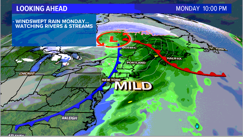
Monday is going to be a nasty day in Maine. Heavy rain and strong wind gusts will be the big players in Monday’s weather.
Since the warm air moves in so quickly with this storm, snow is not in the cards.
Still, some flooding issues and power outages are looking possible, if not likely heading into Monday evening.
At the time of writing this on Sunday evening, there are still over 25,000 power outages reported in Maine.
Monday will be adding insult to injury in what has already been a very active April.
Flood potential:
By dawn on Monday morning, a thick cloud cover will be in place over most of Maine.
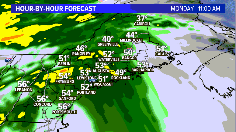
Rain showers may be ongoing, but a band of heavier rain is expected after 8 a.m. This could even be accompanied by a couple rumbles of thunder.
It will be during this initial band of rain that wind gusts begin to pick up.
Through the afternoon, there will still be some showers, though the steadier rain backs off a bit. Still, these could be moderate to heavy at times.
Rain does wrap up later in the evening and overnight into Tuesday.
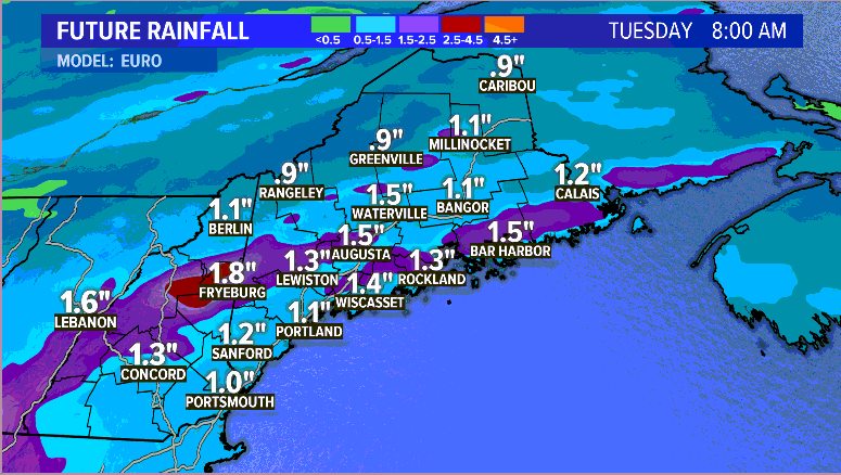
Totals could approach 1.5” in some spots, if not a little bit more underneath heavier showers. Otherwise, most Mainers are looking at up to an inch of rain.
With increased runoff from melting snow and heavy rain, some minor water issues could arise in bigger rivers. Small streams could approach bankfull as well.
There may be some ice jam issues across parts of northern Maine, too, if enough melting occurs.
Power outage concerns with wind:
Crews are still cleaning up from Friday’s storm. The upcoming wind gusts are not going to help at all. In fact, power outage numbers will likely climb Monday afternoon into Monday night.
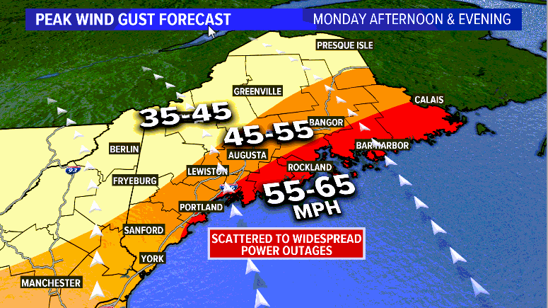
Wind gusts will steadily increase into the afternoon. Across the higher elevations in Maine, most gusts will ramp up into the 35-45 mph range.
While there still could be some outages in the mountains, these are on the lower side of wind gust forecasts for Monday.
Throughout inland sections of Maine, the range for wind gusts will be 45-55 mph. This includes Lewiston, Augusta, and Bangor. Scattered power outages will be possible with such strong wind gusts out of the south.
The coastline will get the brunt of the strongest winds, especially along the Midcoast and Downeast. Gusts will be in the 55-65 mph range. There could even be a couple of stronger gusts that get mixed in.
This is likely where a good chunk of the outages occur. Scattered to widespread outages are expected.
Peak wind gusts will occur in the afternoon through the later evening.
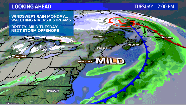
By daybreak Tuesday morning, it will still be breezy. Thankfully, though, these gusts will not be nearly as strong and the rain will have wrapped up. Tuesday looks like a pretty nice day overall.
Beyond that, Wednesday and Thursday will be at least a little bit quieter. Thursday does introduce the chances for some more showers, though not nearly as intense as this round.
Stay safe. Keep a plan in case power goes out. Hopefully this is the last bad storm for a while and we can enjoy a bit of quieter weather. For more forecast information, you can follow me on Twitter and Facebook.
Comments are no longer available on this story