

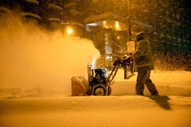
AUGUSTA — A little less than a week after a nor’easter with blizzard conditions dropped more than a foot of snow across central Maine, another significant storm is on its way, with forecasts calling for rain, sleet and snow.
While the wintry weather is likely to make Friday morning’s commute challenging, it is also expected to improve the conditions for winter recreation across the region.
“It’s one of my favorite times of year, especially once we do get the snow,” Tyler Keniston, stewardship manager for the Winthrop-based Kennebec Land Trust, said Wednesday.
Forecasters said they expect the leading edge of the storm to bring rain Thursday to most of central Maine and snow to northern Somerset County. Conditions should start to change Thursday evening, as cold temperatures push south through the region, changing rain to snow, with a possibility of sleet.
“It looks like Friday morning will be pretty slick, as temperatures begin to drop down back into the 20s,” Donny Dumont, a meteorologist with the National Weather Service office in Gray, said Wednesday afternoon. “Any wet, slushy roads we do expect will become frozen, and untreated roads will be icy.”
The snow is expected to continue through Friday, with accumulations of 6 to 8 inches in the Augusta and Waterville areas. Unlike last week’s storm, however, strong winds are not expected.
“This will be transitioning,” Dumont said. “(The snow) will be kind of wet in the beginning, and finishing up on the dry side.”
The coming storm is part of the massive winter storm moving across the United States, stretching from the Southwest to the Northeast. Dumont said the storm is expected to move out of the region Friday, with colder temperatures moving in and the chance of snow showers Monday.
As of Wednesday morning, a winter storm watch had already been posted for the Augusta area. Dumont said a winter storm watch means forecasters have 50% confidence more than 6 inches of snow will fall. Winter storm watches are typically issued 48 hours in advance of an expected storm.
A winter storm warning is issued when forecasters have 80% confidence more than 6 inches of snow will fall, and is generally issued about 24 hours in advance.
A winter storm advisory is issued when about 4 inches of snow is expected, according to Dumont.
The Kennebec Land Trust lands, either owned by the trust or privately owned with conservation easements, are located across Kennebec County and offer trails and opportunities for outdoor recreation.
Keniston said Kennebec Land Trust staff members have noted that use of the trust’s lands tends to drop off in winter. Those who use the trails tend to be a slightly different group than those who use them in the warmer months.
“When we go out there, we see snowshoe trails,” Keniston said. “Or where there’s a pond, people might hike out to fish.”
Those heading out should be aware not all the properties have winter access and not all parking lots are plowed in winter.
The land trust’s website — tklt.org — keeps a list of properties that are plowed under the Properties tab. They include the Mount Pisgah Community Conservation Area in Winthrop and the Torsey Pond Nature Preserve in Readfield.
It also lists events the trust host, including the Presidents Day Snowshoe Outing at the Ezra Smith Wildlife Conservation Area in Mount Vernon later this month, and the Curtis Homestead Bushwhack on March 12 in Leeds.
“It can be harder to get out in the winter,” Keniston said, “but when you don’t get out, it’s easy to get the winter blues. One of the best remedies we find is definitely to get out and do the snowshoeing or the skiing.”
Copy the Story LinkSend questions/comments to the editors.

Success. Please wait for the page to reload. If the page does not reload within 5 seconds, please refresh the page.
Enter your email and password to access comments.
Hi, to comment on stories you must . This profile is in addition to your subscription and website login.
Already have a commenting profile? .
Invalid username/password.
Please check your email to confirm and complete your registration.
Only subscribers are eligible to post comments. Please subscribe or login first for digital access. Here’s why.
Use the form below to reset your password. When you've submitted your account email, we will send an email with a reset code.