
This is not the February we’re used to experiencing in Maine.
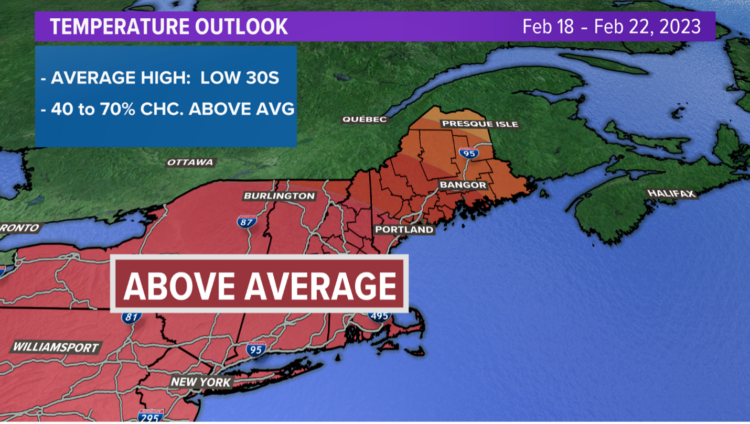
Temperatures are running well above average on a day-to-day basis and for the month so far. Snowstorms have been few and far between, except for northern Maine.
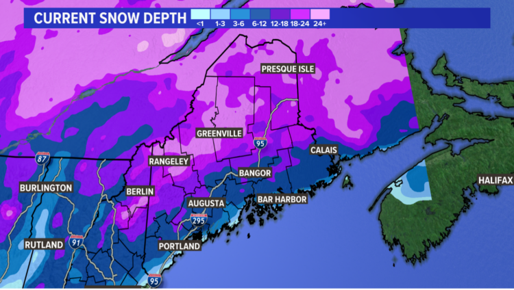
Here’s a look at the current snow depth across the state:
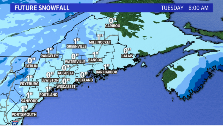
Our next opportunity for snow is Monday night into early Tuesday morning.
I’m not expecting a lot of snow to accumulate on main roads with the ground being so warm lately. However, a slippery morning commute Tuesday is certainly possible with up to an inch accumulation.
Temps stay quite mild for the rest of the week by mid-February standards.
By the end of the week, southwest Maine could even see a run for 60 degrees. That’s the average high for the last day of April if you are keeping score at home.
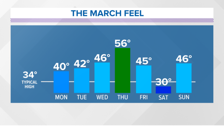
Winter isn’t over yet, but it’s hanging on by a thread at this point. Long range models show another “blow torch” setup with well above average temps again next week.
Comments are no longer available on this story