


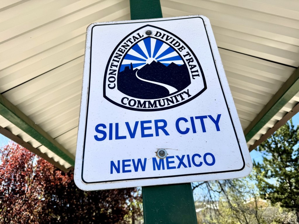


SILVER CITY, Mexico — This hiker-friendly town of 10,000 lies at an elevation of nearly 6,000 feet just east of mile marker 158 on the Continental Divide Trail. Surrounded by the vast 2,700,000-acre Gila National Forest – one of the largest in the nation – there’s every amenity here that a sweaty, thirsty, windburned thru-hiker could want for a much-needed rest day or two. I plan to take good advantage, as there’s no real hurry, given Colorado’s healthy snowpack.
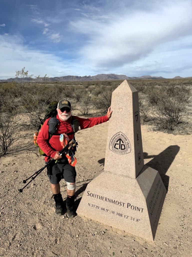
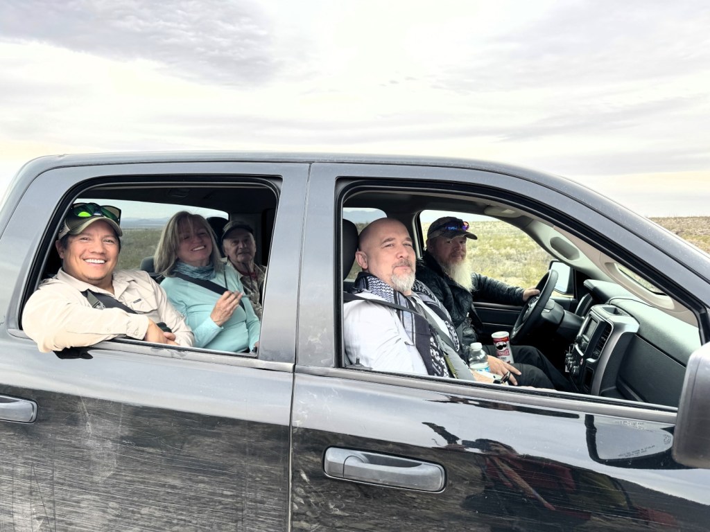
The 2,800-mile journey began at the Crazy Cook Monument in the “Bootheel,” a desolate, dry and dusty corner of New Mexico bordering Mexico. It was a three-hour shuttle trip to reach the start, the last half on four-wheel drive roads. After the obligatory photos, I took some quiet time to drink in my lonely surroundings. It was 9:45 a.m. when I took my first steps northward; the date was March 30, which now seems like a distant memory.
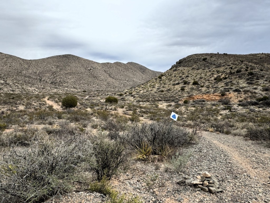
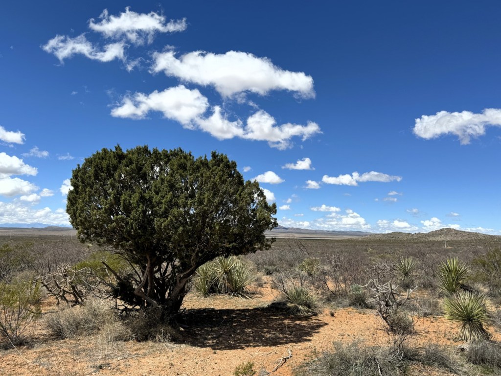
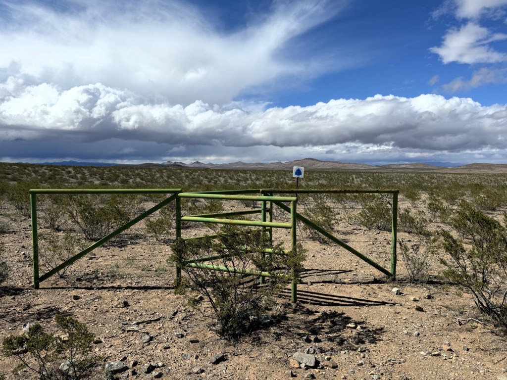
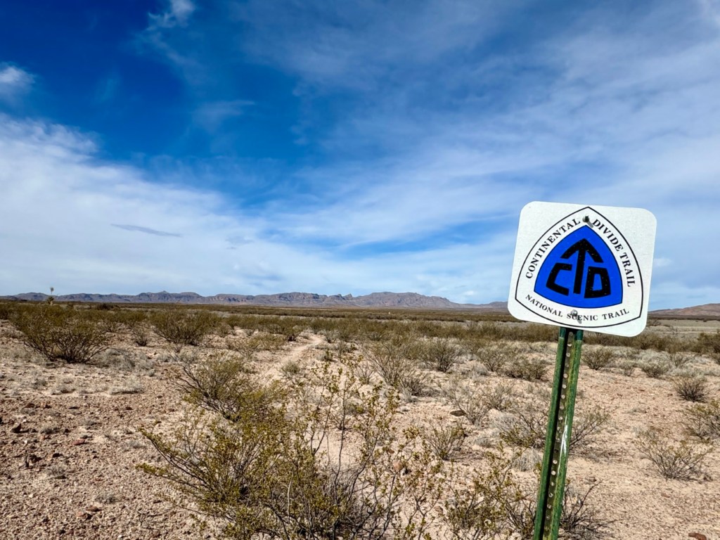
The first 84 miles of the CDT meander through the Big Hatchet and Little Hatchet Mountains, the Coyote Hills, and the Pyramid Mountains, each separated by broad valleys. This area is on the northwestern fringe of the Chihuahuan Desert. At 200,000 square miles, it’s the largest and hottest of the four major desert regions in western North America. Creosote bush, mesquite, yucca and prickly pear dominate the wide-open space that offers precious little shade but for the irregular juniper tree.
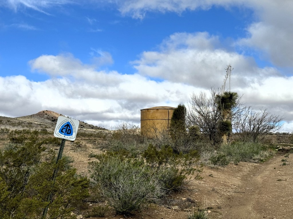
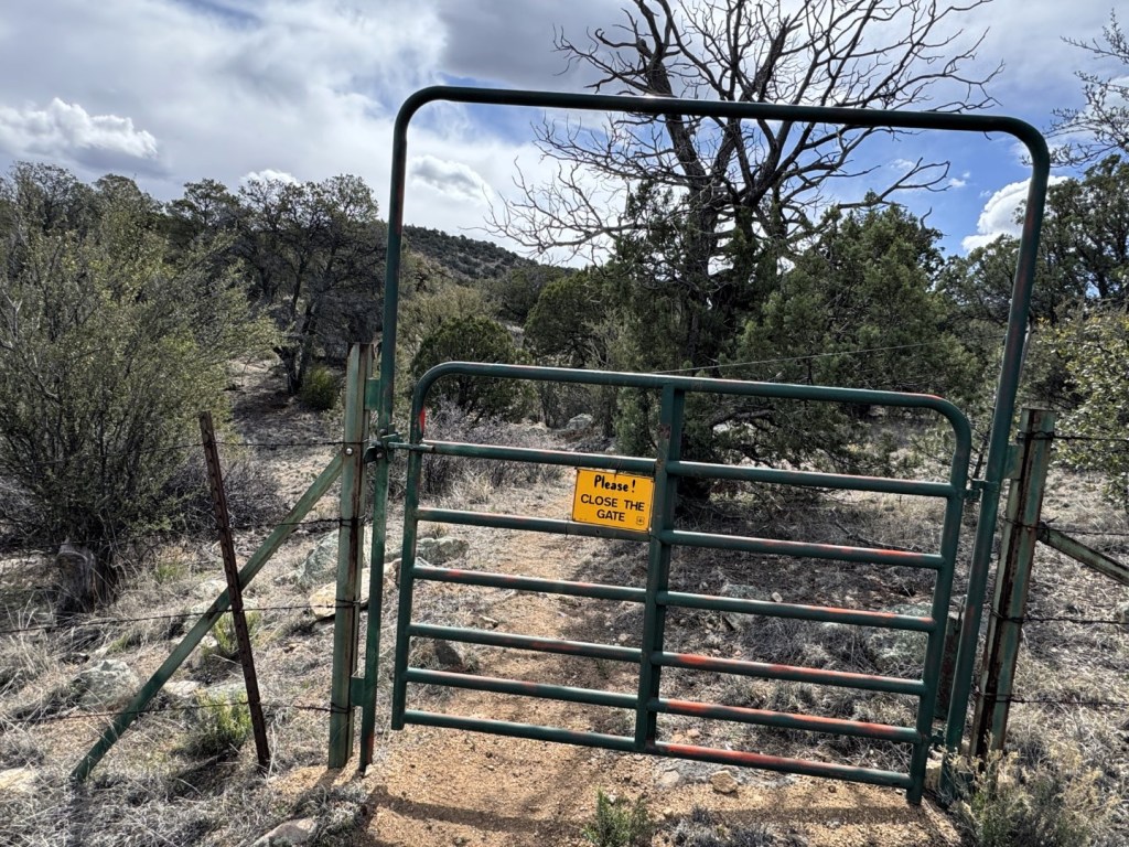
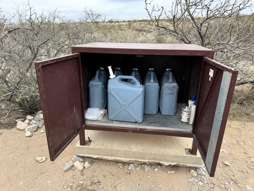
Along this stretch, the Continental Divide Trail Coalition maintains five water caches, and supplemented with ranch-land water tanks and windmills, staying hydrated is not an issue, provided you plan properly. This is cattle country, so there are numerous gates and stiles to negotiate, and the occasional barbed wire fence to climb over or crawl under. Cow pies are everywhere.
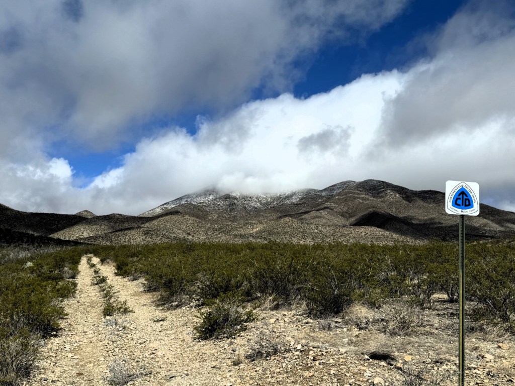
Navigating the CDT is an interesting game. The best case is when there are signs and trail to follow. Sometimes there are signs but no trail, or trail but no signs, and every so often there’s neither. You pick your way along as best you can, constantly studying your surroundings, and refer to the Far Out GPS-based app when in doubt. I’ve been as far as a half-mile off trail, but hey, that’s part of the fun.
From Lordsburg, where I stayed over and picked up my first resupply box, it’s 74 miles to Silver City. As the elevation increases, the landscape transitions from desert to woods of oak, juniper, pinyon pine and ponderosa pine. The trail enters the Gila National Forest and reaches high ground on 8,000-foot Jacks Peak and Burro Peak in the Big Burro Mountains. Patches of snow lined the trail. The tree cover was welcome, but the wind persisted.
Wind is a four-letter word in these parts. You battle it day and night with seemingly little pause. Winds averaging 20 to 30 mph with gusts as high as 40 to 50 mph are challenging to hike through, never mind erecting a tent in the evening. Campsites are where you make them, and you pitch where you can find at least a modicum of protection. I’ve had my tent come unleashed and take flight once already. Heavy rocks (duh!) are key to a secure camp, both inside and outside the tent.
South of Lordsburg, I walked alone by day and camped by myself at night, reveling in the wildness and solitude. I met but one northbound hiker; the few others were southbound, having chosen not to partake of the shuttle. North of Lordsburg, I began to meet more hikers going my way and enjoyed several lunch breaks and even a few campsites with their good company. We talked about food, of course, and the weather, which besides the wind and sun, has dealt us rain, sleet, hail and snow flurries.
I’ve established a comfortable daily rhythm. My shortest day mileage-wise was the first, when I covered 14 miles. The biggest day so far was 21 miles into Lordsburg (the tractor beam of trail towns is incredibly strong). I’ve been touched by trail angels and trail magic, and have in these early days experienced a distinct sense of community. This hike is going to be another good one, for sure. Feeling great, no blisters and only about 2,675 miles to go!
Carey Kish, of Mount Desert Island, is thru-hiking the Continental Divide Trail along the Rocky Mountains from Mexico to Canada. Follow more of his journey on Facebook and Instagram.
Send questions/comments to the editors.

Success. Please wait for the page to reload. If the page does not reload within 5 seconds, please refresh the page.
Enter your email and password to access comments.
Hi, to comment on stories you must . This profile is in addition to your subscription and website login.
Already have a commenting profile? .
Invalid username/password.
Please check your email to confirm and complete your registration.
Only subscribers are eligible to post comments. Please subscribe or login first for digital access. Here’s why.
Use the form below to reset your password. When you've submitted your account email, we will send an email with a reset code.