
From the mainland at Kidder Point in Searsport, a long causeway connects to Sears Island, which extends far out into the northern reaches of beautiful Penobscot Bay. Covering a 936-acre expanse, Sears Island is the largest undeveloped island along the Maine coast and among the largest on the eastern seaboard of the U.S.
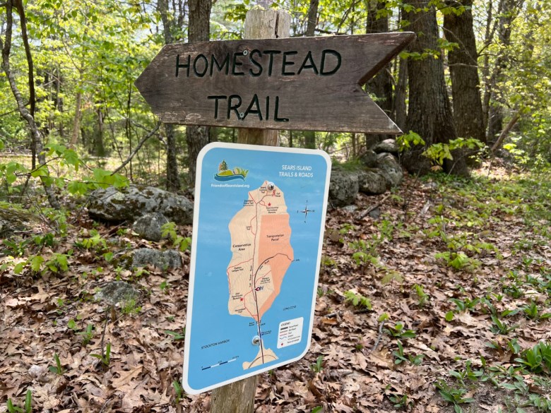
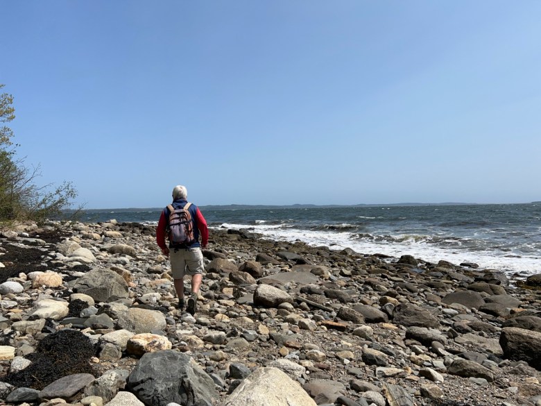
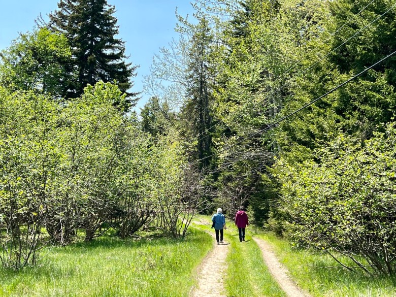
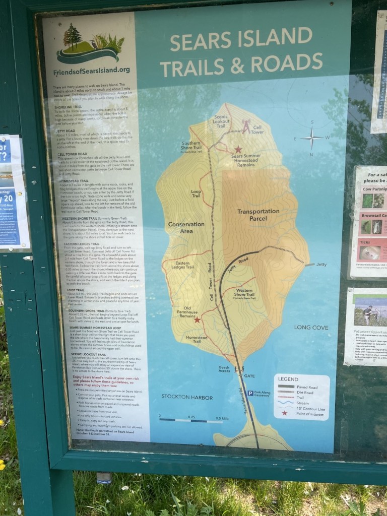
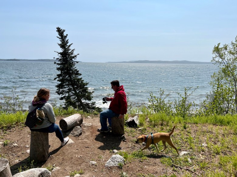
Thanks to the causeway and Sears Island Road, this island rich in natural beauty and interesting history is easily accessible to the public. Six trails and two old roads provide hikers with some 7 miles of walking possibilities. Circumnavigate Sears Island via the spectacular shoreline for another 5 miles of wonderful wandering.
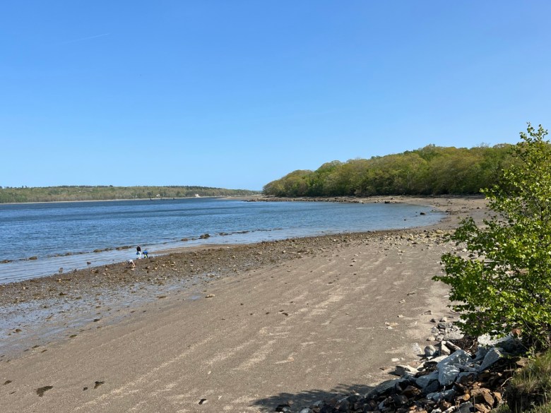
Maritime spruce and fir and mature hardwoods characterize Sears Island’s forest cover, which cloaks what was once cleared land. Vernal pools are habitat for frogs and salamanders. Cliffs and gravel beaches ring the island, and the shoals off its western coast are historically home to eelgrass beds, critical habitat for a variety of marine life.
A short distance into the interior via the Homestead Trail are the remains of a farmhouse built by John Rynier in the late 1790s. Around 1730, Samuel Waldo, a wealthy Boston merchant, was granted a large land parcel in the region. Known as the Waldo Patent, it spanned 36 square miles and included all of today’s Knox County and part of Lincoln, Penobscot and Waldo counties, including present day Sears Island.
After Waldo’s death in 1759, his daughter married Henry Knox, a future general in the Continental Army, a Founding Father of the U.S. and the secretary of war under President George Washington. In 1794, Henry Knox visited the island, paid the people squatting there to vacate, and hired a husbandman, John Rynier, to turn it into grazing land for oxen, cattle, sheep and hogs.
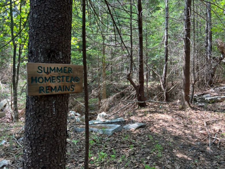
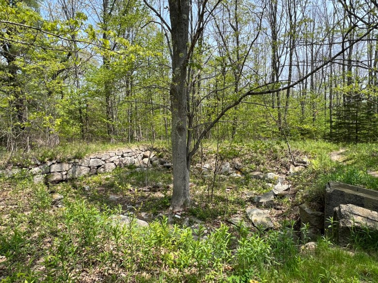
Meandering southward through the lovely landscape of old apple trees, field pines, stone walls and grassy meadows, the canopy eventually transitions from mostly hardwood trees to conifers. Amid the spruce, fir, pines and hemlocks are the foundation stones, cellar hole and well of the former Sears summer homestead.
In 1806, several people owned shares in what is now Sears Island. Among them was David Sears, and in 1813, he bought out his partners and thus began four generations of Sears family ownership of the island and much of the land nearby, today’s town of Searsport. While the family farmed the land, they never lived there year-round. They did, however, build a summer home in 1853, which burned four decades later.
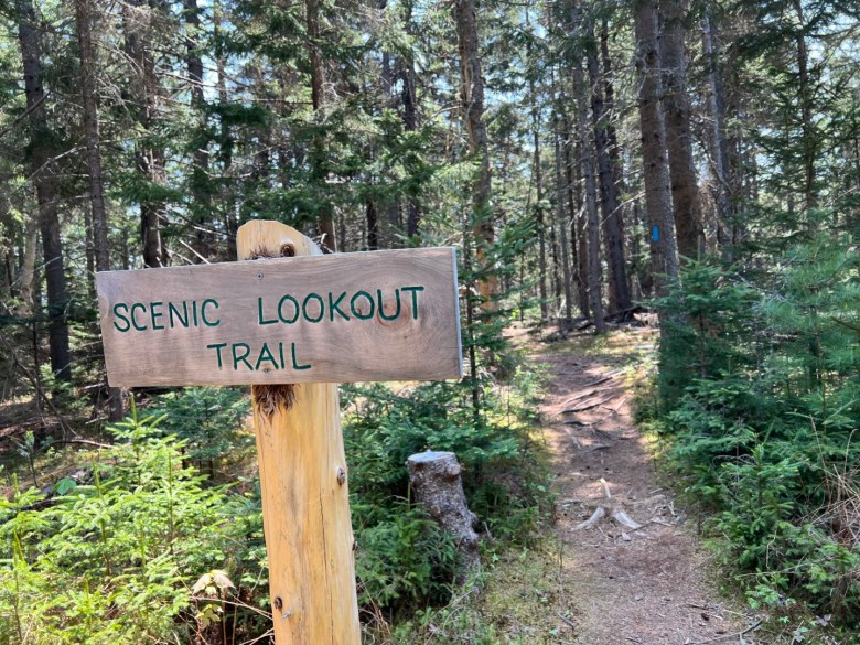
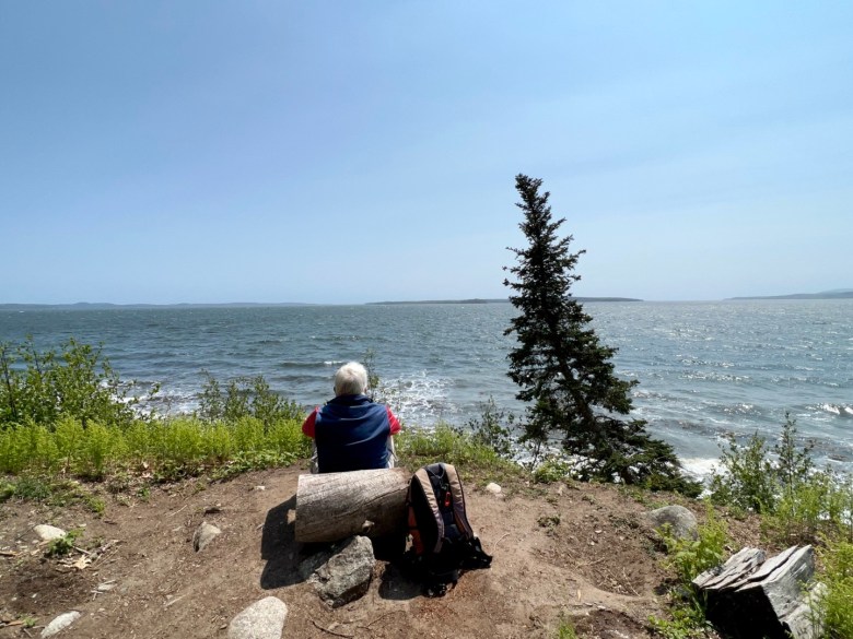
At the southern edge of Sears Island, two short trails lead out to Penobscot Bay. The Scenic Lookout Trail ends atop a bluff overlooking the water, where the grand vista takes in the Bagaduce Peninsula and Castine, Islesboro and Belfast Harbor. The Southern Shore Trail reaches the rocky shore with a great view to Blue Hill Mountain and Wallamatogus Mountain, both conservation properties of the Blue Hill Heritage Trust.
Sears Island was originally called “Wahsamkik” by the native Wabanaki people. Meaning “bright sand beach,” it’s likely a reference to the sandbar at the head of the island that is now traversed by the causeway. Samuel Waldo named the island Brigadier’s Island, which lasted until the tenure of the Sears family.
Sears Island has not remained in its natural state without controversy. Since the 1960s, it has been the proposed site of at least five different industrial developments; all were defeated. In 1985, the state of Maine took 50 acres by eminent domain, and in 1997, it purchased the balance of the island.
In a 2009 agreement, 601 acres were set aside in a conservation easement and 330 acres were held for possible port development (another five acres belong to a cell tower company). The Maine Coast Heritage Trust holds the easement while the Friends of Sears Island is the designated land manager of the conserved area.
Sears Island is once again slated for development, this time for a facility that will build and launch floating offshore wind turbines. The project is currently in limbo, but just the same, you’ll want to visit the island sooner rather than later to enjoy a good look around the place in its current state. Check out friendsofsearsisland.org for more info and a trail map.
Carey Kish of Mount Desert Island is the author of Beer Hiking New England, AMC’s Best Day Hikes Along the Maine Coast and the AMC Maine Mountain Guide. Follow more of Carey’s hiking adventures on Facebook and Instagram.


We invite you to add your comments. We encourage a thoughtful exchange of ideas and information on this website. By joining the conversation, you are agreeing to our commenting policy and terms of use. More information is found on our FAQs. You can update your screen name on the member's center.
Comments are managed by our staff during regular business hours Monday through Friday as well as limited hours on Saturday and Sunday. Comments held for moderation outside of those hours may take longer to approve.
Join the Conversation
Please sign into your CentralMaine.com account to participate in conversations below. If you do not have an account, you can register or subscribe. Questions? Please see our FAQs.