
The Kennebec River is Maine’s third longest, after the St. John and the Androscoggin. The 170-mile-long Kennebec rises in Moosehead Lake, and its east and west outlets meet at Indian Pond before the Dead River joins the flow southward. The Androscoggin River merges with the Kennebec River at the great estuary of Merrymeeting Bay, and from there, the Kennebec carries on to empty into the Gulf of Maine near Popham Beach in Phippsburg.
The Kennebec River Valley encompasses over 5,000 square miles, and within that vast area of hills and mountains, rivers and streams, and lakes and ponds are a wealth of recreational opportunities. For hikers, dozens of public and private conservation lands totaling many thousands of acres and featuring miles of wonderful trails are available, a veritable footloose feast.
Here are just a few places for you and your boots to explore that will give you a sample of the Kennebec River Valley’s beauty from source to sea. Enjoy the journey!
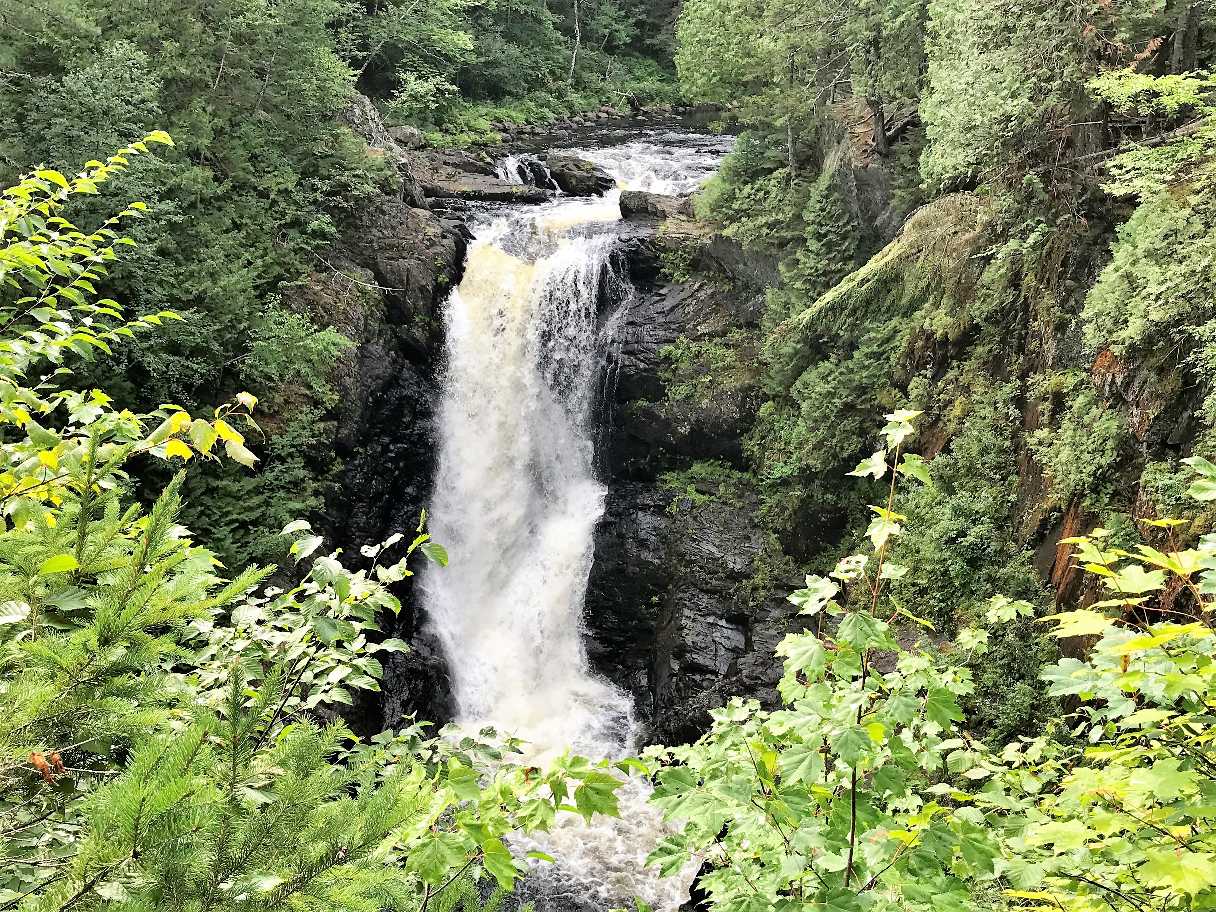
Moxie Falls, West Forks
Located on Moxie Stream between Moxie Pond and the Kennebec River, Moxie Falls is one of Maine’s highest waterfalls. Thundering 90 feet straight down into a deep gorge, the falls are an impressive sight and a clear example of Mother Nature’s awesome power. A couple observation platforms allow good views of the big plunge into the large pool below. The hike is a relatively easy 2-mile round-trip.
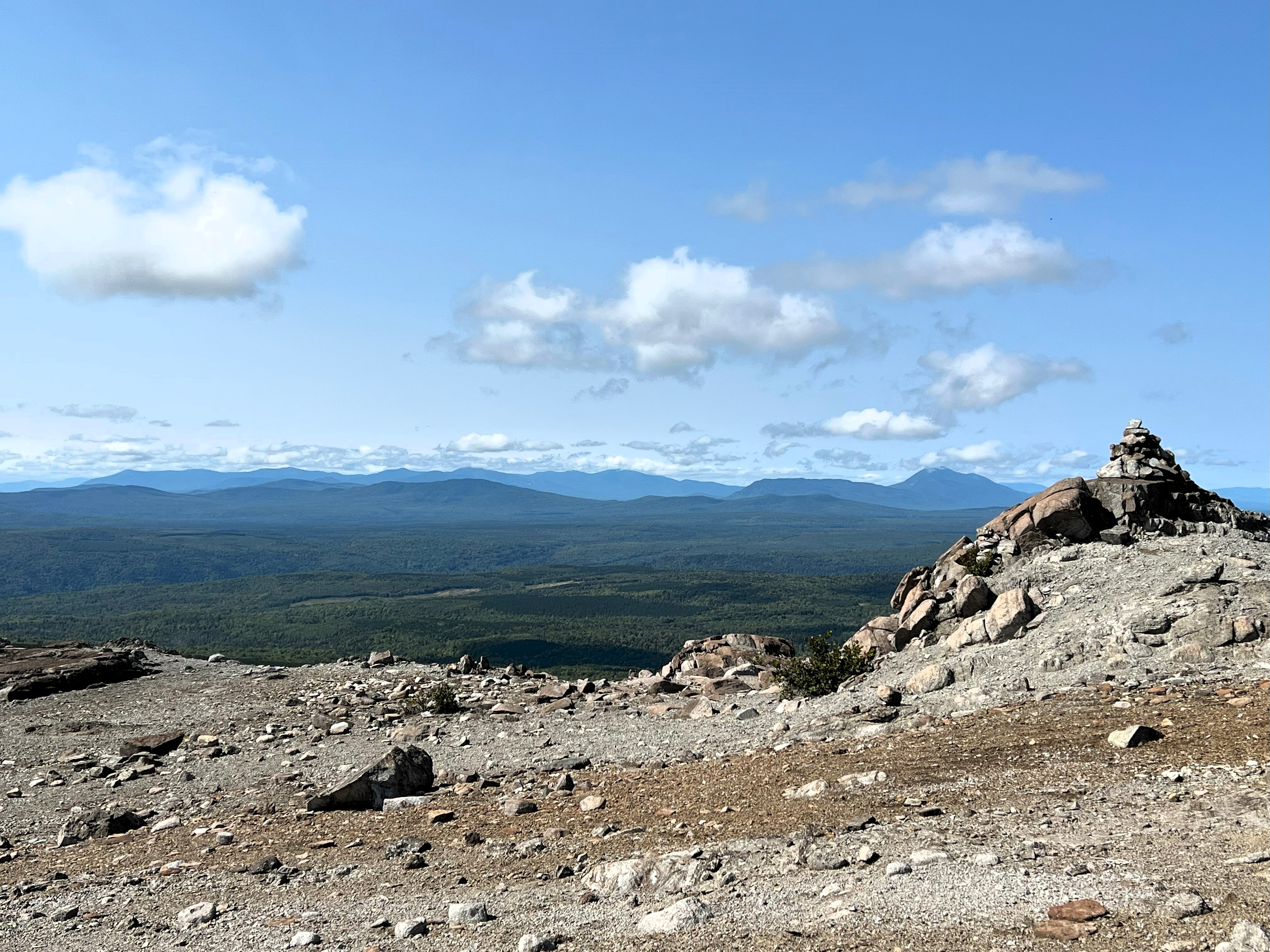
Moxie Mountain, Caratunk
Rising to 2,933 feet, 5 miles east of the Kennebec River, Moxie is often confused with Moxie Bald Mountain, which lies 8 miles northeast on the Appalachian Trail. The huge open ledges on Moxie’s south face several hundred feet below the summit feature panoramic views and a glimpse into the peak’s interesting geology. Hike Moxie from the west or south; both trail routes are about 3 miles round-trip.
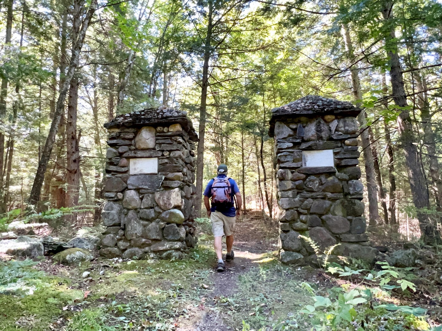
Good Will−Hinckley, Hinckley
A walk in the woods on the campus of Good Will-Hinckley is a delightful experience rich with natural beauty and interesting history. The 1,000-acre property on the banks of the Kennebec River features some 6 miles of meandering footpaths and so much more worth a few hours of contemplative wandering. Trails begin near the L.C. Bates Museum, an early 20th-century natural and cultural history museum.
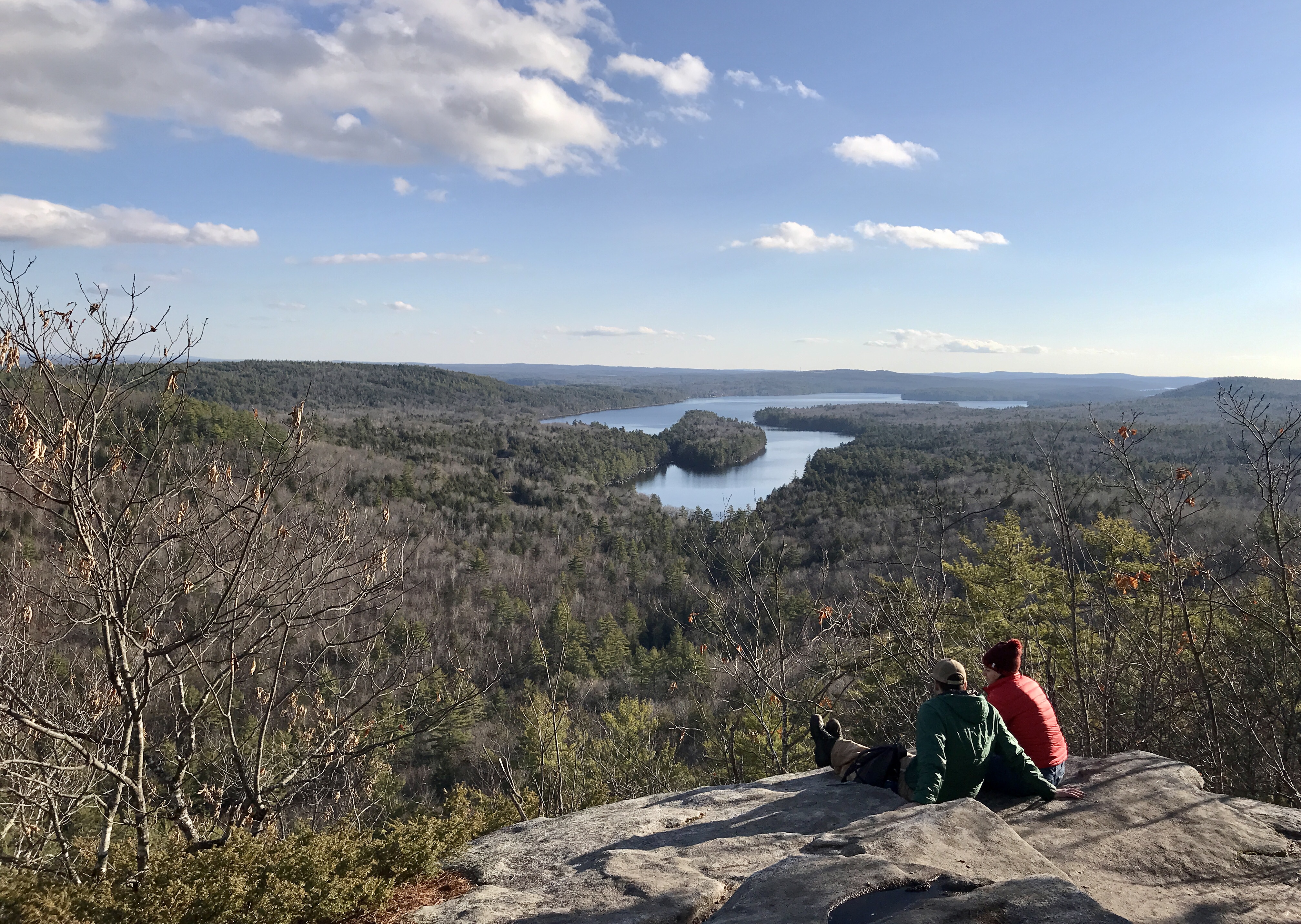
Kennebec Highlands, Belgrade Lakes Region
This 6,800-acre block of conservation land, the largest in central Maine, encompasses the highest mountains in Kennebec County. The 7 Lakes Alliance maintains trails on Round Top and McGaffey mountains in the Highlands as well on neighboring lands at French Mountain, Sanders Hill, The Mountain and Mount Phillip. Altogether, it’s a hiking bonanza totaling around 20 miles of scenic beauty.
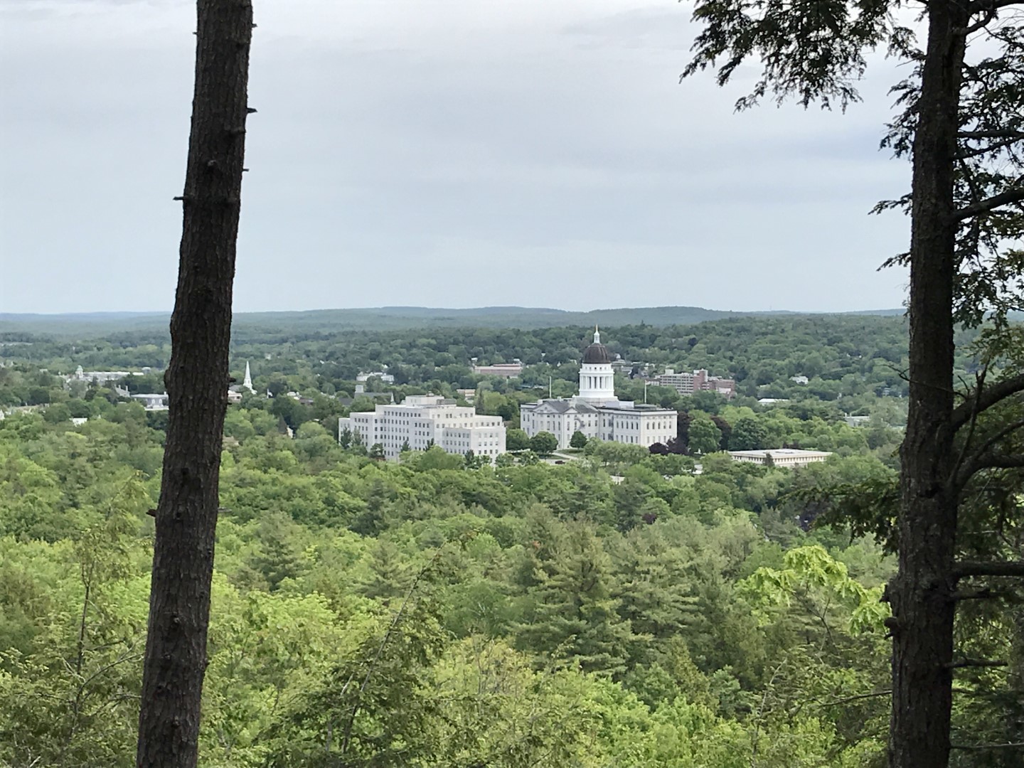
Howard Hill, Augusta
The 164-acre Howard Hill Historical Park is a property of the Kennebec Land Trust, which oversees a wealth of lands and trails throughout the lower Kennebec Valley. A network of some 4 miles of trails on Howard Hill leads to the Capitol Overlook and Capitol Vista for fine views of the state capital building, downtown Augusta and the Kennebec River. Tag the wooded 484-foot summit for good measure.
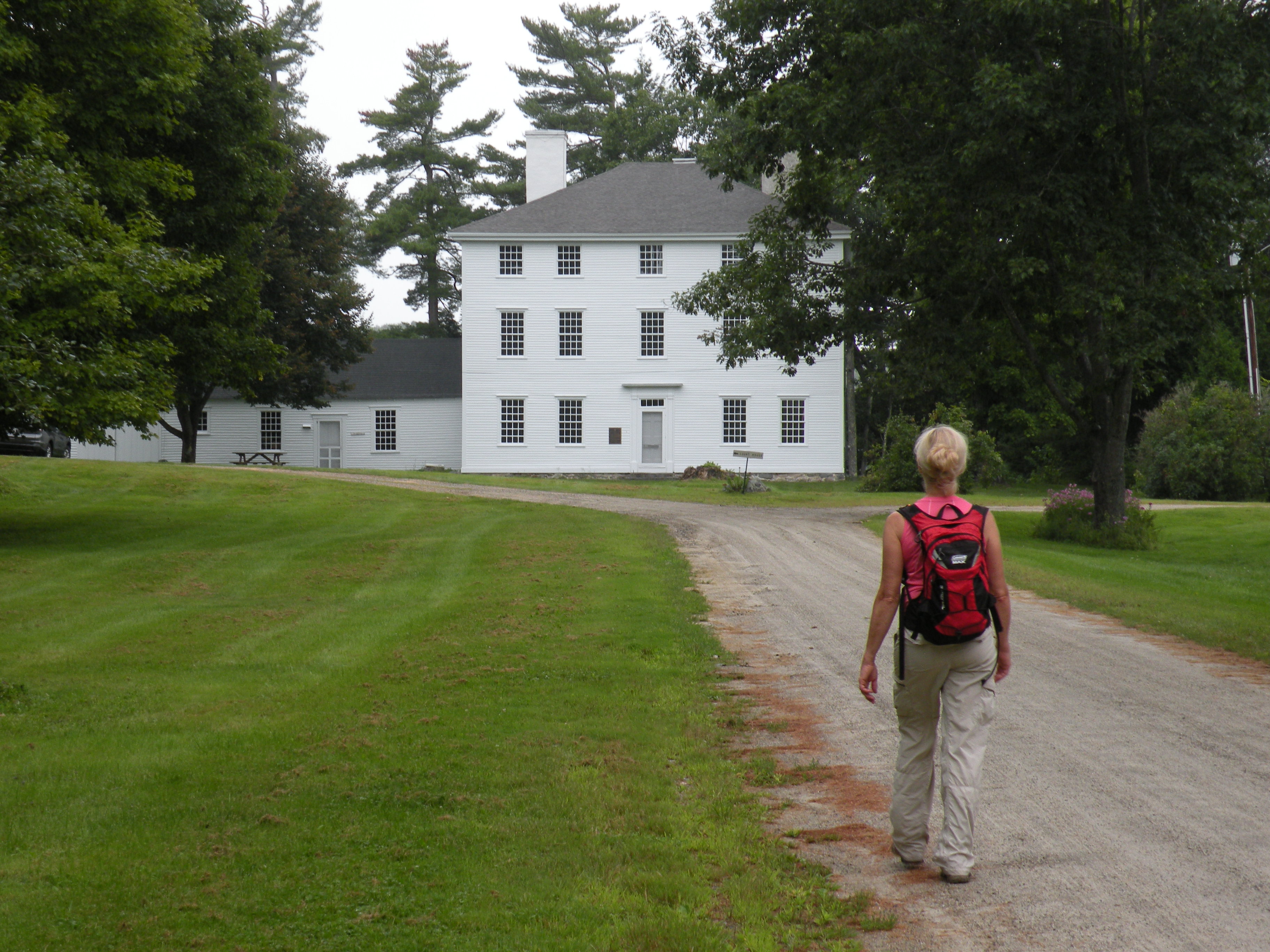
Pownalborough Courthouse, Dresden
Occupying a beautiful piece of property overlooking the Kennebec is Maine’s only remaining pre-Revolutionary War courthouse. The Pownalborough Courthouse (1761) and surrounding grounds, on the National Register of Historic Places, are worth a visit by themselves. Just across the road, however, are 150 acres and 3 miles of trails through mature woodlands that make for a nice walk.
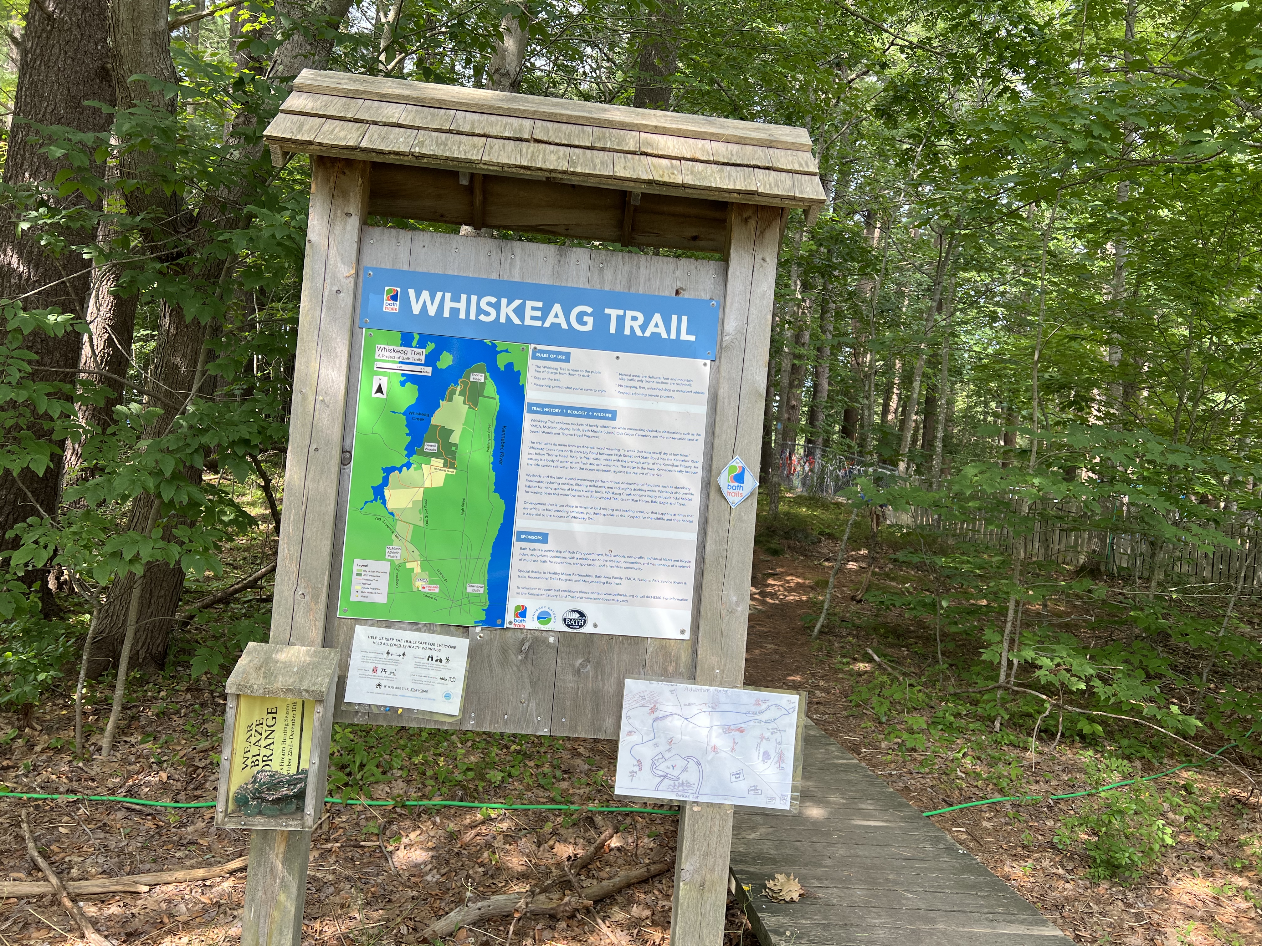
Whiskeag Trail, Bath
The Whiskeag Trail traverses three conservation preserves and a series of municipally owned lands on its more than 5-mile journey through the wooded outskirts of downtown Bath. Sporting a wild and primitive feel, much of the route winds along the tidal waters of Whiskeag Creek, which flow into the Kennebec River. The Kennebec Estuary Land Trust and its partners maintain this wonderful greenway.
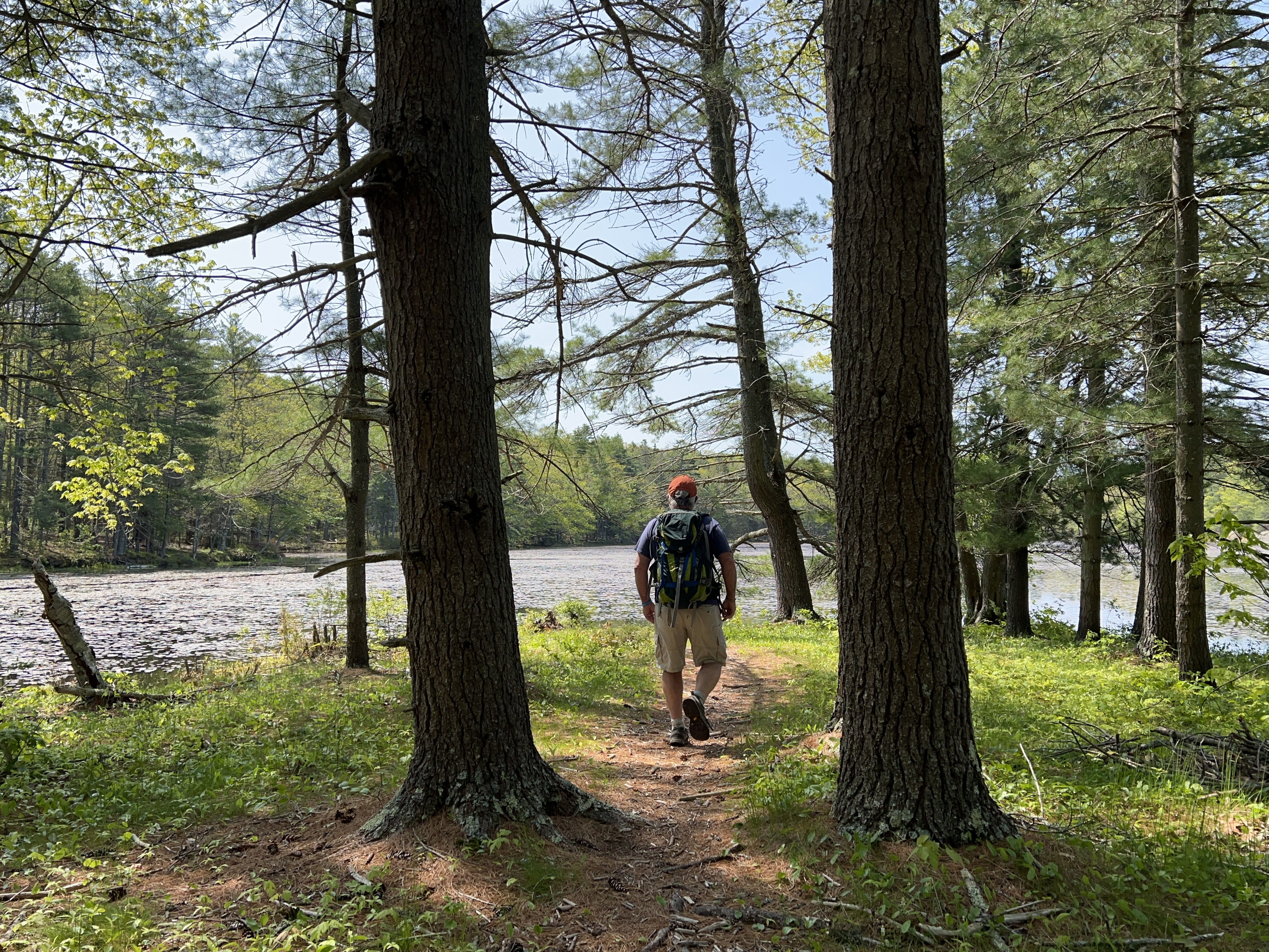
Cooley Center Pond Preserve, Phippsburg
Center Pond is the scenic highlight of this 253-acre parcel, the Phippsburg Land Trust’s first, largest and most popular conservation property. Follow the Perimeter Trail and Drummond Trail for a superb 5-mile loop that takes in a good length of the pond, pleasant mixed woods, old stone walls, granite ridges and a beaver bog. Be on the lookout for a series of modern-day petroglyphs.
Carey Kish of Mount Desert Island is a Triple Crown hiker, freelance writer and author of three hiking guides. Connect with Carey on Facebook and Instagram and at [email protected].
We invite you to add your comments. We encourage a thoughtful exchange of ideas and information on this website. By joining the conversation, you are agreeing to our commenting policy and terms of use. More information is found on our FAQs. You can update your screen name on the member's center.
Comments are managed by our staff during regular business hours Monday through Friday as well as limited hours on Saturday and Sunday. Comments held for moderation outside of those hours may take longer to approve.
Join the Conversation
Please sign into your CentralMaine.com account to participate in conversations below. If you do not have an account, you can subscribe here. Questions? Please see our FAQs.