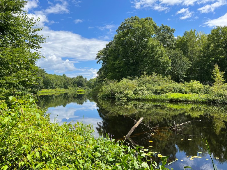
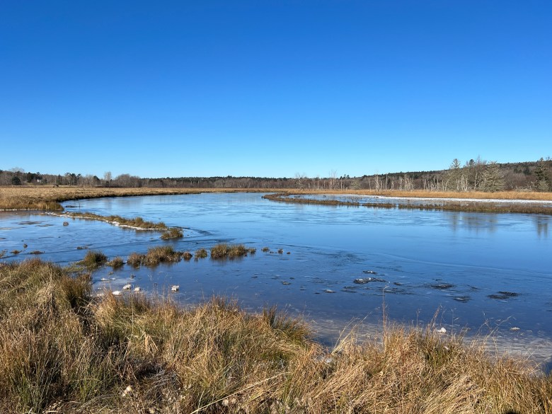
Maine is home to nearly 32,000 miles of rivers, from mighty flows like the St. John, the Androscoggin, the Kennebec and the Penobscot, to the Saco, the Salmon Falls and the Piscataqua, and the St. Croix. Two of Maine’s rivers, the Allagash and the York, are federally designated as part of the National Wild and Scenic Rivers System. Countless other rivers of varying lengths and widths and characters complete the enormous system.
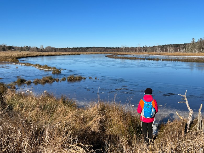
Spend some time wandering along one of Maine’s rivers and you’ll no doubt be amazed and awed by their power and beauty, and thankful for their preservation as an important ecological and recreational resource. Open your Maine Atlas and Gazetteer wide and peruse the colorful pages to find a river to explore this autumn or winter with your boots, snowshoes or skis. Here’s a look at six gems to consider for a fun riverside ramble.
The Middle River meanders for about 6 miles from its source at Marks Lake in Marshfield to join the Machias River just east of Machias proper. It’s at this meeting point that you’ll find the Downeast Coastal Conservancy’s 100-acre Middle River Park. Three miles of trails wind through property, the former site of St. Regis Farm, where draft horses and cattle were pastured in the era of the great log drives on the Machias River. Make it a hiking two-fer with a visit to the nearby Machias River Preserve.
The tidal Bagaduce River runs 14 miles from Walker Pond in Brooksville to Penobscot Bay at Castine. In Sedgwick, not far from the river’s source, is where you’ll find Snow’s Cove and a Blue Hill Heritage Trust preserve encompassing 109 acres. Two footpaths, the Fern Trail and the Shore Trail, combine for a little less than 2 miles of hiking and nice views westward over the wide Bagaduce. For another great look at the river, hit up the 1-mile trail at Bluff Head Preserve just a short distance up the road.
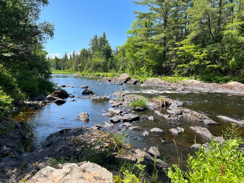
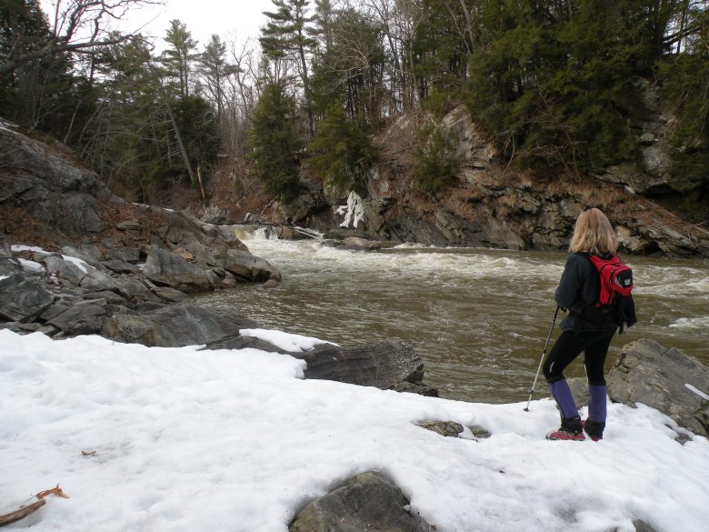
Starting from Grand Lake Road in T6 R7 WELS northwest of Shin Pond, the Seboeis Riverside Trail leads 7 miles to its southern trailhead at Philpott Bridge. The 2-mile section to the falls at Grand Pitch and beyond to Snowshoe Lodge, a day-use cabin, is the most popular, but hardy trekkers are welcome to tackle the entire length. The trail corridor is owned by Penobscot River Trails, which also operates the incredible Penobscot River Trails system in nearby Soldiertown Township.
The Riverbrook Preserve in Waldoboro protects more than 1 1/2 miles on the Medomak River, which extends 40 miles from Liberty to Muscongus Bay. Owned and managed by the Midcoast Conservancy, the 371-acre parcel also includes 2 miles along Meadow Brook and is one of the largest undivided blocks of wildlife habitat in this area of the Midcoast. The River Loop, Brook Loop, Farm Road and several shorter paths combine for about 4 miles of wonderful woods and waters wandering.
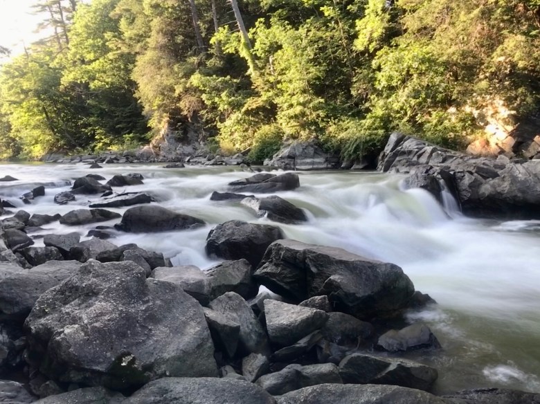
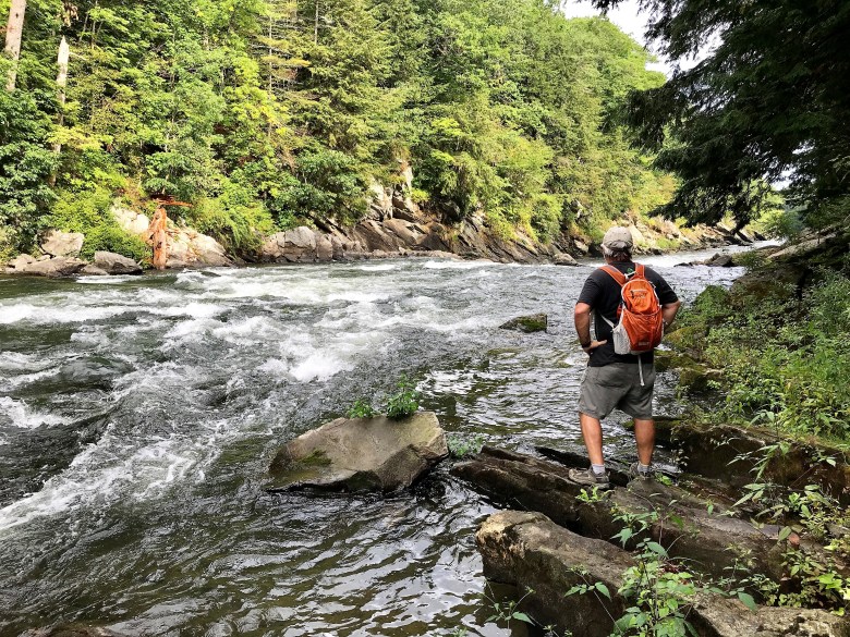
The Presumpscot River forms part of the boundary between Portland and Falmouth before it empties into Casco Bay at the end of a 26-mile run from its source at Sebago Lake. Portland Trails is the steward of the Presumpscot River Preserve, which protects the final section of the 10-mile, cross-town Forest City Trail. Follow the path through Oat Nuts Park to the river, then amble along to the roaring Presumpscot River Falls, former site of the Smelt Hill Dam (removed in 2002), at trail’s end.

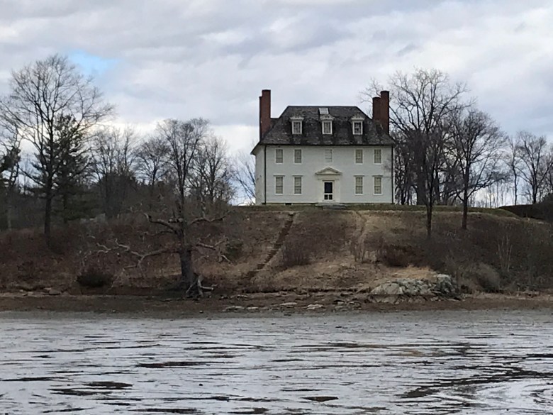
At Vaughan Woods Memorial State Park in South Berwick, you can stroll through century-old stands of white pine and hemlock over a lovely stretch of the Salmon Falls River. The 38-mile long river flows into the Piscataqua River a mile to the south; both rivers form part of the state boundary with New Hampshire. Follow River Run and Bridle Path for a very fine 2 1/2-mile loop. The short side trail to the historic Hamilton House (circa 1785) is a must post-hike for a commanding view downriver.
The short list of Maine river hikes also includes the St. Croix at Devil’s Head (Calais), the West Branch of the Pleasant (Gulf Hagas), the Stillwater (Orono), the Oyster (Thomaston), the Stroudwater (Portland), the Scarborough (Scarborough), the Batson (Kennebunkport), the Kennebunk (Kennebunk), and the Ogunquit and the York (York). Better get on it!
Carey Kish of Mount Desert Island is a Triple Crown hiker, freelance writer and author of three hiking guides. Connect with Carey on Facebook and Instagram and at [email protected].