
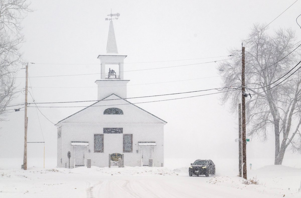
A winter weather system making its way to Maine on Wednesday is bringing a mix of snow, rain and ice that forecasters say could cause dangerous driving conditions.
The National Weather Service has issued several winter weather advisories that are in effect for much of Maine into early Thursday morning.
The weather service warned that the changing weather — which may fluctuate between rain, freezing rain and snow — could make the Wednesday evening and Thursday morning commutes slippery. While most precipitation is expected to end by 1 a.m., buildup of snow and ice could still affect road conditions Thursday.
“Be prepared for variable travel conditions and slow down when you approach areas of heavier snowfall as road conditions could change rapidly,” some of the weather service’s alerts read. “Difficult travel conditions are possible due to icy road conditions.”
Speed limits on the Maine Turnpike’s entire length were reduced to 45 mph, the Maine Turnpike Authority announced shortly after 4:15 p.m. Wednesday. A few minutes later, the authority warned of a crash on the northbound side between Kennebunk and Biddeford, cautioning that motorists should expect delays and be careful.
Dozens of schools, courts, libraries and other institutions — primarily in interior areas expected to see the brunt of the system’s impact — closed early Wednesday in anticipation of the potentially risky weather.
A mix of rain, up to 3 inches of snow and around a tenth of an inch of ice are forecast before 1 a.m. Thursday for parts of Androscoggin, Cumberland and Kennebec counties, including Augusta, Gorham, the Lewiston-Auburn area and Waterville.
Parts of interior York County, including Berwick, Buxton and Sanford, will see a similar wintry mix, with up to 2 inches of snow and up to a tenth of an inch of ice.
Most of Maine’s coastal areas — including Portland — will get only rain, with temperatures in the upper 30s. In other parts of the state farther from the coast, higher levels of snow are expected.
Bethel, Fryeburg, Rangeley, Rumford, Skowhegan and other parts of western and west-central Maine should expect between 2 to 4 inches of snow, according to the weather service.
To the north, between 5 and 8 inches of snow is forecast for parts of Aroostook, Penobscot and Somerset counties, including Caribou, Fort Kent and Presque Isle.
Other parts of Aroostook, Penobscot and Piscataquis counties, including Dover-Foxcroft, Houlton and Millinocket, can expect 3 to 5 inches of snow and possibly a glaze of ice, while the Bangor area is likely to get between 1 and 3 inches of snow and up to a tenth of an inch of ice.
We invite you to add your comments. We encourage a thoughtful exchange of ideas and information on this website. By joining the conversation, you are agreeing to our commenting policy and terms of use. More information is found on our FAQs. You can update your screen name on the member's center.
Comments are managed by our staff during regular business hours Monday through Friday as well as limited hours on Saturday and Sunday. Comments held for moderation outside of those hours may take longer to approve.
Join the Conversation
Please sign into your CentralMaine.com account to participate in conversations below. If you do not have an account, you can register or subscribe. Questions? Please see our FAQs.