Rain forecasted for Tuesday night into Wednesday is not expected to make much of a dent in the drought that has gripped Maine for the last several months.
After summerlike temperatures to begin the week, a cold front is expected to move through the region, bringing about half an inch or so of rain to most of the state.
“For many areas, it will be one of a handful of the rainiest days in the last three months,” meteorologists wrote in a forecast issued Monday morning, “but that is not saying much.”
Derek Schroeter, a meteorologist at the National Weather Service regional office in Gray, said forecasters don’t anticipate the rain to do much more than get the ground wet.
“It will have decent moisture to work with, but we’re only looking at 12 hours or so of rainfall,” he said.
In the last three months — since drought conditions began in July — areas in Maine have seen a rain deficit of 4 ½ inches to 8 inches, Schroeter said.
Portland, for example, which has an average rainfall of about 11 inches during that time, has experienced a deficit of about 6 inches, Weather Service data shows. In the Augusta and Madison areas, which usually get just more than 10 inches, there has been a deficit of about 5 ½ inches.
Most of Maine, as of Thursday, was in moderate to extreme drought, according to the U.S. Drought Monitor. The driest areas were along an east-to-west strip from southern Oxford County to Down East Maine, including the northern half of Kennebec County, the southern half of Waldo County and portions of Somerset, Franklin and Androscoggin counties.
An updated drought map from the national monitoring service is expected to be released Thursday.
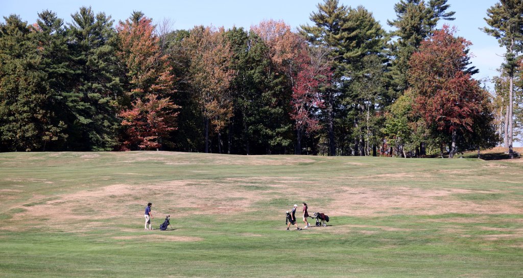
Drought conditions this summer have taken a toll on Maine farmers, led to an increase in wells running dry and subdued the colors of the state’s renowned fall foliage.
Dry conditions have also sparked an unusually high number of wildfires, and fire officials are continuing to urge caution.
On Monday, the Maine Forest Service listed the fire danger in western and southern Maine as very high; the rest of the state was in high fire danger. The National Weather Service offices in both Gray and Caribou issued special weather statements for elevated fire weather danger due to dry air and breezy conditions.
“Extra caution should be taken to prevent wildfires,” the statements said. “Always consult with fire officials before engaging in any open burning activities and comply with all applicable laws and regulations. Never leave an open fire unattended and always extinguish campfires completely before leaving.”
The Forest Service was reminding people that Maine law requires a burn permit for any debris burning and to check with local officials about municipal regulations for campfires and fireworks.
Beyond the rain, the rest of the week is expected to be dry, Schroeter said. The next chance for precipitation forecasters are watching is Sunday into Monday, but Schroeter said that system’s track is not yet clear.

We invite you to add your comments. We encourage a thoughtful exchange of ideas and information on this website. By joining the conversation, you are agreeing to our commenting policy and terms of use. More information is found on our FAQs. You can update your screen name on the member's center.
Comments are managed by our staff during regular business hours Monday through Friday as well as limited hours on Saturday and Sunday. Comments held for moderation outside of those hours may take longer to approve.
Join the Conversation
Please sign into your CentralMaine.com account to participate in conversations below. If you do not have an account, you can register or subscribe. Questions? Please see our FAQs.