
A weak system dropped a coating to an inch or two Monday morning in southern Maine. More winter weather is coming through.
Here are the highlights:
A widespread round of snow is coming Tuesday, with several inches possible in central and southern Maine.
Snow squalls are likely Wednesday afternoon as an arctic front arrives.
Thanksgiving Day will be windy and frigid.
Late tonight, a second storm system will eject out of the Ohio Valley and take a similar path to today’s weather. The difference is in the mid and upper levels. A strengthening, slightly negative, short wave will enhance the low and slow it down producing larger amounts of snow.
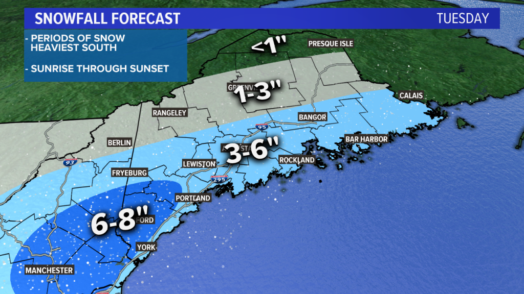
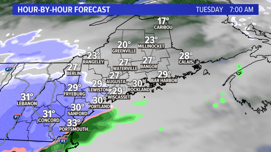
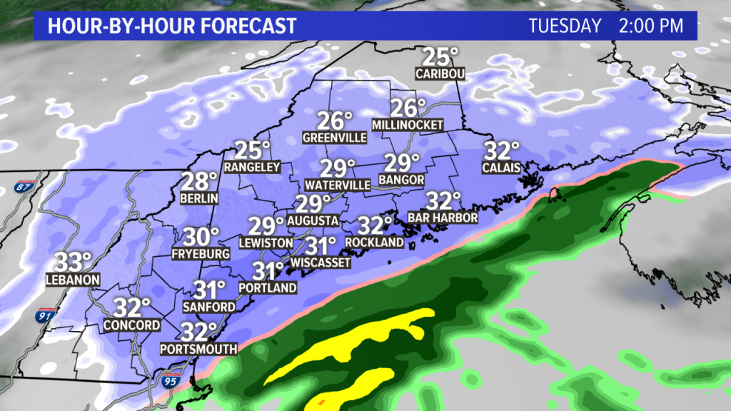
There may be some banding features too which could produce 1″ per hour snow rates during the middle of the day. Snow will begin in western Maine before sunrise and overspread the rest of the state during the morning.
With snowfall for much of the day, driving conditions really will not be good at all.
It looks like a solid 3 to 6 inches of snow will fall for the southern half of the State, including Bangor, Augusta, Lewiston-Auburn and Portland. There may be a jackpot area away from the coast in far southern Maine too. Lighter snow amounts will fall in northern Maine.
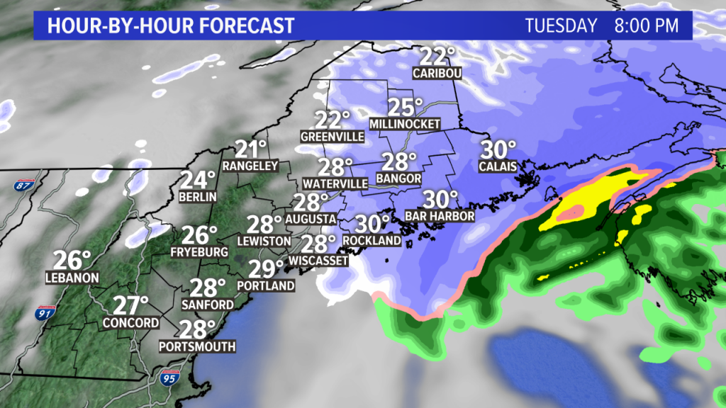
The snow will wind down during the late afternoon and early evening, from west to east.
Comments are no longer available on this story